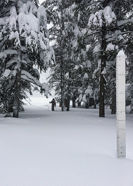
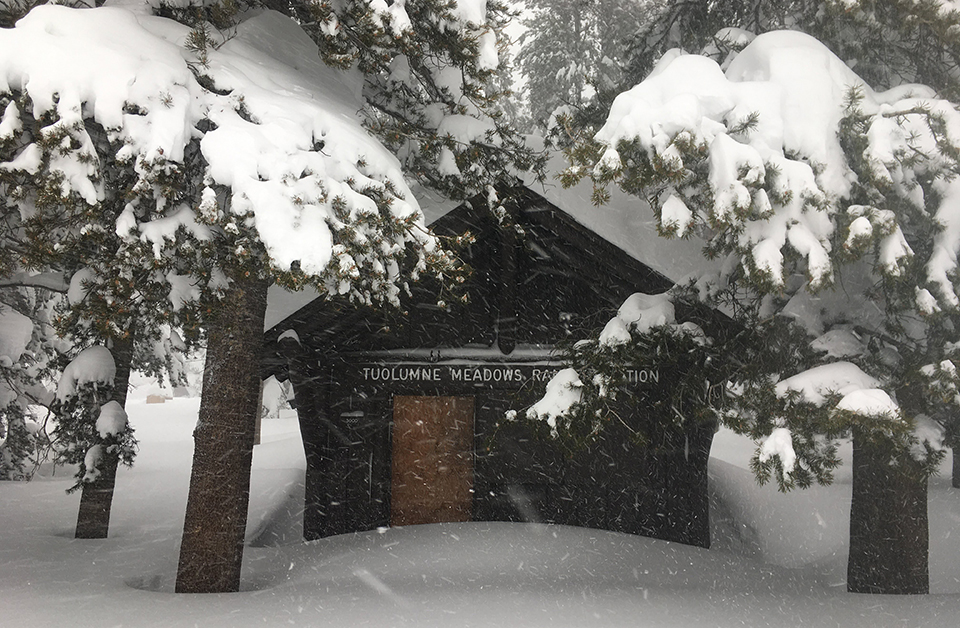
New Snow:78 inches
Settled Snow Depth: 70 inches
High temperature: 35°F (December 22)
Low temperature: 7°F (December 26)
Ski Conditions and Weather

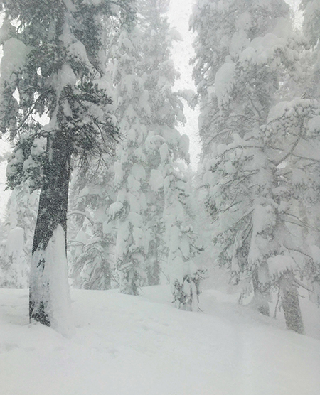
Ski conditions varied this week with this formula of new snow, settled snow, and water content. For example, on December 23 we measured 11 inches of new snow with a water content of 1.03 inches (about 10% snow density), and the settled snow depth was 37 inches. The skiing that day was supportable, and skis only penetrated 6 inches or so into the snow surface. By contrast, over the past three days we have measured 44 inches of new snow with a combined water content of only 1.83 inches (about 4% density), and a current settled base depth of 70 inches. The skiing today is not supportable and skis penetrate about three feet (between knee and waist deep depending on which one of us it is). 😊 It will be slow going and difficult trail breaking until the snow settles over time. But enough of the snow geek math for now….

Avalanche and Snowpack Conditions

ESAC issued “avalanche warnings” for several days this past week. Their daily avalanche forecasts are an invaluable resource for people living/working/recreating in this part of the Sierra Nevada in winter. Avalanche warnings are issued during a period when the hazard from avalanches is rated “high” or above, and natural and human-triggered avalanches are very likely due to the weather forecast and snowpack conditions. Factors that increased the rating this week were rate of new snowfall, high winds, and water content of the new snow which added a tremendous and rather sudden weight to the existing snowpack.
During periods of high avalanche hazard we stay off of, and out from under, avalanche terrain. Therefore, we try and assess avalanche activity from afar using binoculars. This typically involves skiing up Lembert Dome and having a good look around. At times this week, it was unsafe and too deep to even do that. Due to the extreme weather, we were unable to see any avalanche activity, but we did observe signs of instability in the snowpack in the form of shooting cracks from our skis (also known as propagation). The new snow yesterday had a poor bond with the old snow surface causing the new snow to “crack” in a cohesive layer over the old snow surface. If this were on a slope that was steep enough to avalanche this would be considered a “storm slab” avalanche hazard.
The primary hazard presently is from wind slab avalanches. There is plenty of low-density snow out there now available to be transported by the wind and formed into a slab on lee slopes. Times like these are good for riding the lifts at the local ski resort where the ski patrol works hard to mitigate the avalanche hazard. It is also a good time to study about snow and avalanches. The ESAC has excellent resources, including videos of real time snowpack assessment using stability tests, that we encourage our readers to check out.
Wildlife
For the most part this week “…not a creature was stirring, not even a mouse.” Occasionally, one could hear a flock of red crossbills chirping among the clouds. But we were unable to see their red and green holiday feathers (male and female respectively) during the maelstrom. This morning as the skies are clearing a bit, it would appear that the pine marten has gotten the first tracks of the day.
Questions
The wilderness is open! But, especially during this pandemic where local resources may be limited, we implore you to be self-sufficient and not put others at risk. Please #RecreateResponsibly by planning and preparing thoroughly for your outdoor activities in the park.
Read through the following two pages before embarking on any day or overnight snow travel within this park:
You may contact us with any additional winter Tuolumne Meadows related questions.
Szczesliwego Nowego Roku! From the “polish” ski rangers
Laura and Rob Pilewski - Tuolumne Meadows winter rangers

