|
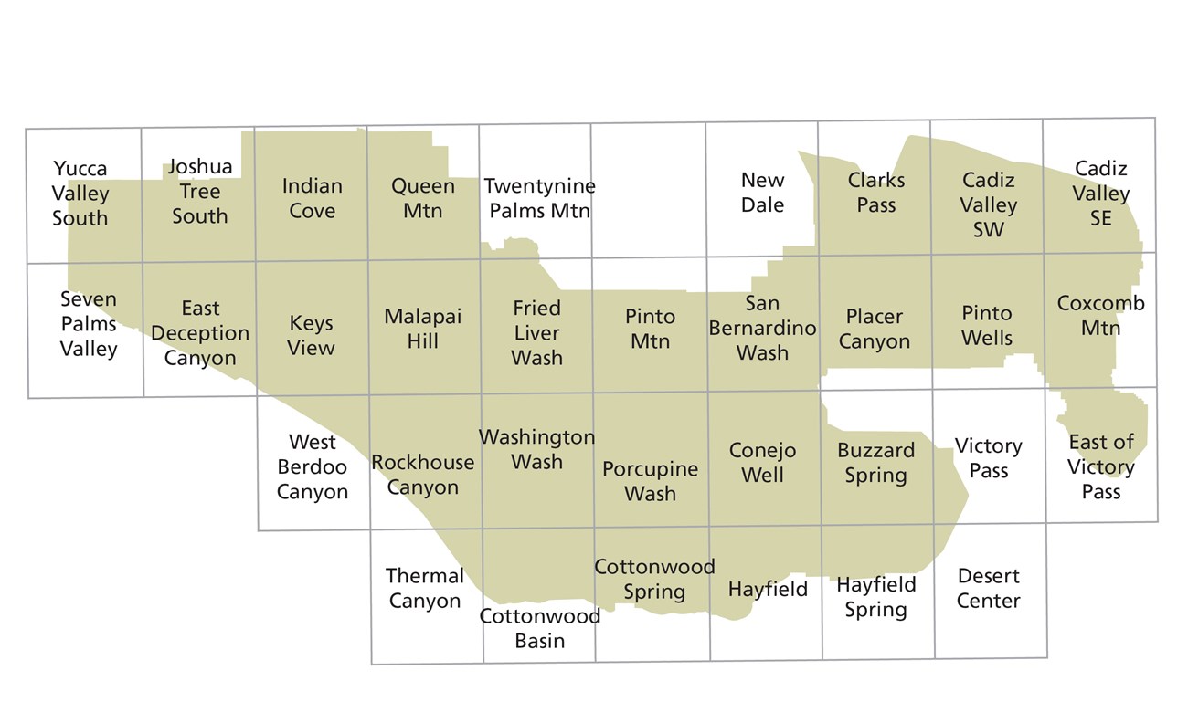
To view the brochure version of the map above, click on the drop-down menu in the upper left corner of the map. You can also view or download our audio-described park brochure. Downloadable MapDownload and print the map of Joshua Tree National Park before you arrive! Topographical MapsMaps are available for free download (or you can pay for print versions) through USGS using the links below. Note: USGS maps do not have day-use areas, wilderness boundaries, or other regulatory information. All visitors are responsible for following day-use and wilderness rules. Printed regulatory maps are available for purchase at park visitor centers and they are highly recommended for hikers, wilderness backcountry campers, climbers, and other wilderness recreators. 
Backcountry RoadsThese roads vary greatly in condition and level of technical driving skill required. See the backcountry roads page for more information. Always ask a ranger for current information about road conditions before venturing out. Wilderness BackpackingDownload a detailed topo map above or purchase one at a park visitor center. Learn more about wilderness backpacking. Rock ClimbingSee the climbing pages for more information about the park's legendary rock climbing and bouldering opportunities. Equestrian MapsThese maps show the trails open to horse use in the two most popular areas of the park for horseback riders. These maps have no topographic detail and should not be relied upon for navigation. Maps are available on our horseback riding page. |
Last updated: November 10, 2024
