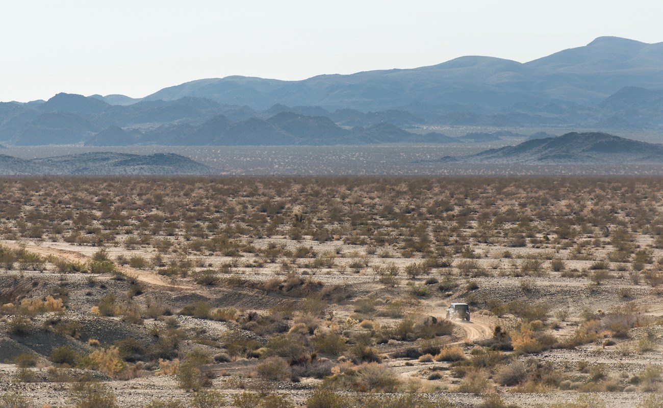
NPS/Brad Sutton The Road to AdventureJoshua Tree offers many miles of backcountry dirt roads for four-wheel drive vehicles and mountain bikers to explore. With over 1,000 square miles (2590 km) of designated wilderness, these roads provide a glimpse into undeveloped and seldomly viewed parts of the park. They give visitors opportunities for exploration, solitude, and adventure. However, before you travel on these roads, plan ahead and prepare. It could save your life. Safety and ResponsibilityPre-trip PlanningLeave a detailed trip plan with a reliable friend or family member. Backcountry roads in the park can vary in difficulty. Before traveling, gather information about the route and identify if recent weather events have altered the typical road conditions. Carrying the Right SuppliesCarry plenty of extra food, water, clothing, headlamp, sleeping bag, and necessary medications in case a rescue is delayed.
Travel SmartTravel in groups of two or more 4WD vehicles in remote areas and on rough roads. 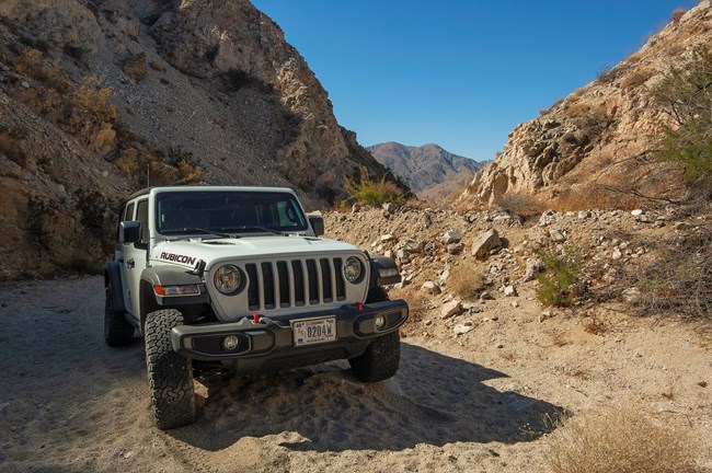
NPS/Emily Hassell Rules and Regulations
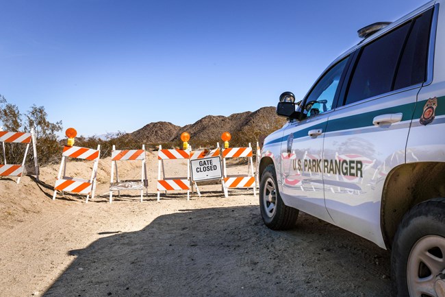
NPS/Emily Hassell Seasonal Restrictions & Closures
Backcountry RoadsSome roads require high clearance, 4-wheel-drive vehicles. Some roads only require 2-wheel drive and are accessible for most vehicles. Know which type of road you are getting into before heading out. 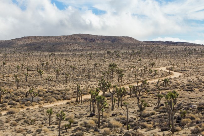
NPS/Brad Sutton Queen Valley RoadsThis network of roads totals 13.4 miles (21.7 km) and includes Queen Valley Road, Big Horn Pass Road, and O'Dell Road. These roads cross through Queen Valley and offer great views of boulder piles, Joshua trees, and Queen Mountain. A bike trip can begin at Barker Dam or Big Horn Pass, opposite Geology Tour Road. Bike racks have been placed in this area so visitors can lock their bikes and go hiking. These roads are suitable for most 2-wheel-drive vehicles. 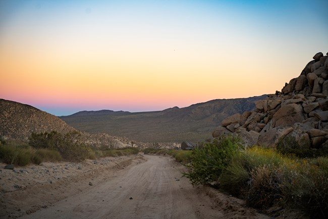
NPS/Emily Hassell Geology Tour RoadHigh Clearance and 4-Wheel-Drive Required The road turns south from the paved road two miles (3.2 km) west of Jumbo Rocks Campground. The distance from the junction to Paac Kü̱vü̱hü̱’k (pronounced paach kurv-er-hurk) is 5.4 miles (8.8 km). This section is mostly downhill but bumpy and sandy. Starting at Paac Kü̱vü̱hü̱’k, a 6-mile (9.7-km) loop route explores Pleasant Valley and offers views of the surrounding mountains. 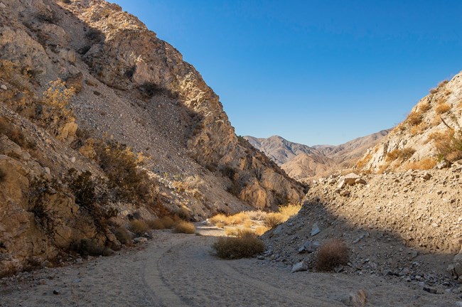
NPS/Emily Hassell Berdoo Canyon RoadHigh Clearance and 4-Wheel-Drive Required This 11.5 mile (18.4 km) road travels through Berdoo Canyon and connects the south end of Geology Tour Road with Dillon Road. The walls of the canyon rise steeply and provide a beautiful backdrop to a unique backcountry experience - especially in the morning or evening light. The route contains deep sand, sharp bedrock, and rough boulders. There is a rugged ‘pinch’ created by bedrock in the northern canyon, and another created by large boulders mid-canyon that may deny passage to full-size trucks.
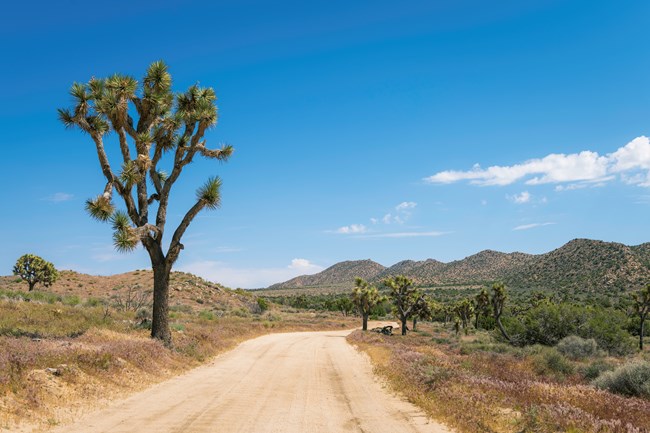
NPS/Emily Hassell Covington Flat RoadsHigh Clearance and 4-Wheel-Drive Required The dirt roads in Covington Flat offer access to some of the park’s largest Joshua trees, junipers, and pinyon pines. From the Lower Covington Flat picnic area to Eureka Peak is 3.8 miles (6.2 km) one way. The dirt road is steep near the end, but the top offers views of Palm Springs, the surrounding mountains, and the Morongo Basin. You can add 6.5 miles (10.5 km) to your trip if you ride or drive over to the backcountry trailhead at Upper Covington Flat. This a great stopping point to get out and hike the Covington Crest Trail, a 1.5 mile (2.4 km) trek to a vista point overlooking the Palm Springs area. 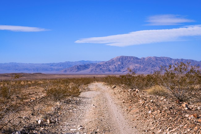
NPS/Emily Hassell Black Eagle Mine RoadHigh Clearance and 4-Wheel-Drive Required Beginning 6.5 miles (10.5 km) north of Cottonwood Visitor Center, this dead-end dirt road runs along the edge of Pinto Basin, crosses several dry washes, and winds through canyons in the Eagle Mountains. The first 9 miles (14.5 km) are within the park boundary. The middle segment contains some of the deepest sand in the park and may require drivers to air down their tires. There is a steep and loose wash-crossing about three-quarters of the way to the park boundary. Beyond the park boundary is Bureau of Land Management land and several side roads. Old mines near these roads may be too dangerous to approach. The route contains passages that may deny larger vehicles. Drivers should not travel on this road without a high clearance, 4-wheel-drive vehicle and emergency supplies. 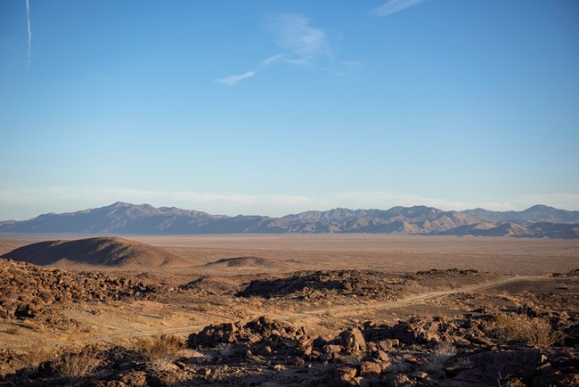
NPS/Emily Hassell Old Dale RoadHigh Clearance and 4-Wheel-Drive Required This 23-mile (37.3 km) road starts at the same point as Black Eagle Mine Road. The first 11 miles (17.8 km) across Pinto Basin, a flat, sandy, dry lakebed containing sections of deep sand. The road then climbs a steep hill and exits the national park. The hill and the next several miles afterward are some of the most technical and rough 4x4 segments in the greater area. Larger vehicles may be denied passage. The road is eroded and composed of large, loose, and sometimes sharp rock with steep drop-offs. A washout on the last climb out of the park boundary may be impassible to vehicles without a short wheelbase. Several side roads veer off toward old mines and residences. The main road leads to HWY 62, 15 miles (24.3 km) east of Twentynine Palms. Drivers should not travel on this road without a high clearance, 4-wheel-drive vehicle and emergency supplies. 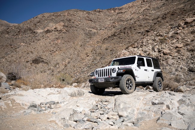
NPS/Emily Hassell Pinkham Canyon & Thermal Canyon RoadsHigh Clearance and 4-Wheel-Drive Required This challenging ~20-mile (32.4 km) road network offers several route options and great views of a unique area of the park. Heading west from the Cottonwood Visitor Center, Pinkham Canyon Road leaves behind the iconic monzogranite rock formations of the park on a well-compacted, brushy route crossed by frequent washes and sharp road cuts. As the road turns south into Pinkham Canyon, it transitions to stone cobble and sandy wash. This section contains rough boulders and deep sand. A pinch point of boulders may be impassable to larger vehicles in the upper canyon. |
Last updated: March 9, 2023
