3,000 Miles...15,000 Years of Culture
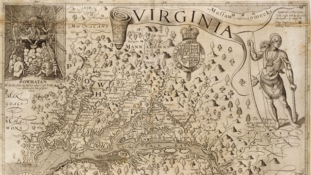
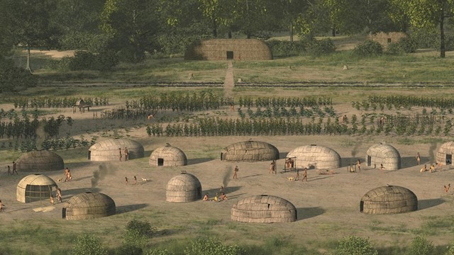
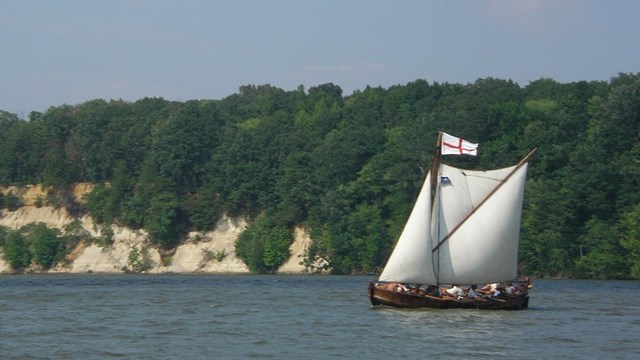
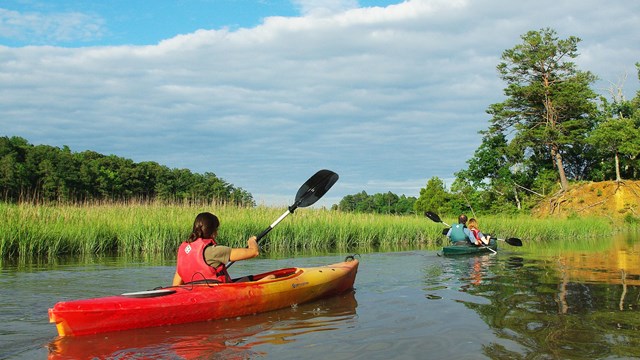
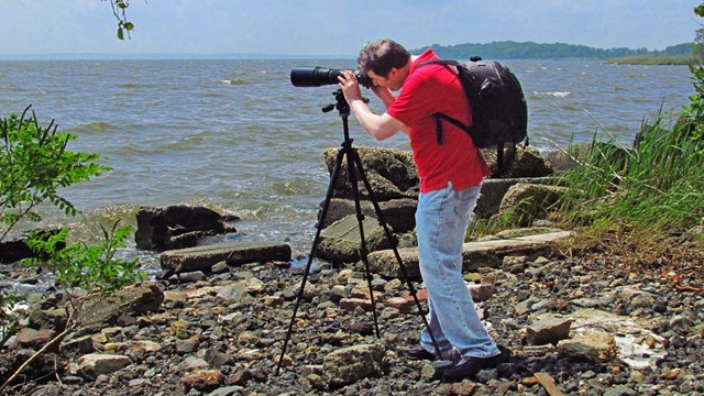
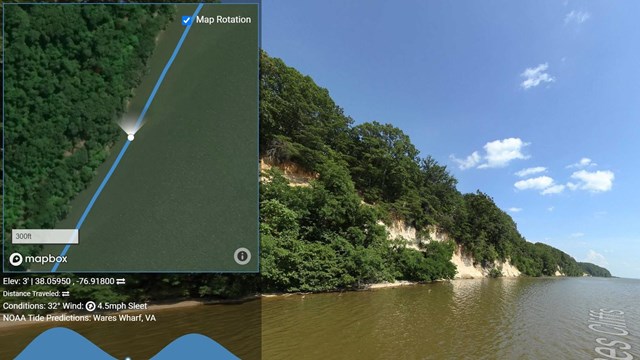
People first arrived in the Chesapeake Bay during the last ice age. As glaciers melted, diverse societies learned to thrive in a world of water. When Englishman Captain John Smith explored the Bay in 1608, he documented hundreds of American Indian communities. Today, sites on his map are archeological treasures and sacred sites for tribal citizens. Come join us on the shores of the Chesapeake Bay!