|
The trail starts at East Entrance Trailhead and climbs up 1,000 feet onto the rim with views into Jolley Gulch and the east side slickrock areas. The first stretch of trail offers sweeping views of the slickrock areas on the east side before walking through the high ponderosa forest. After you traverse the rim, the views of the Echo Canyon basin open up as you near the East Rim. After hiking over the rim of the canyon you sharply descend 2,300 feet down to the floor of Zion Canyon ending at Weeping Rock, passing through Echo Canyon and down the Observation Point Trail. This trail is best in the late spring and fall. The trail typically has deep snow in the winter that can remain until late spring. During the summer months the trail can get very dry and hot. This area has no established campsites but does require a permit for overnight trips. 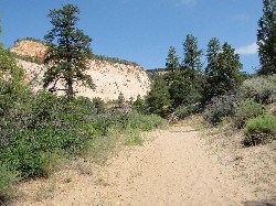
As you leave from the East Rim Trailhead the trail points directly toward the beautiful sandstone cliffs this area is famous for. The trail climbs up onto the plateau for the first three miles. 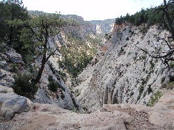
This unmistakable canyon seems to drop out beneath your feet as you see it from the trail. Located a couple miles from the East Rim Trailhead, it marks a great turn around point for a shorter day hike from the East Entrance and back. 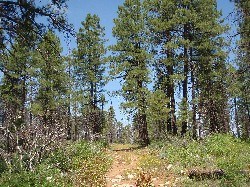
The middle section of the trail wanders across the plateau where the elevation is higher and the weather is a little cooler than the main canyon. The trail passes through a ponderosa pine forest. 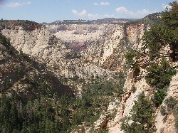
After crossing the flat plateau where the ponderosa trees grow, the trail will open up with amazing views of the Echo Canyon Basin. 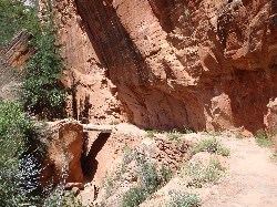
As you drop down in elevation, you will connect to the Observation Point Trail. The East Rim Trail continues through the narrow section of Echo Canyon. This section has a great view of a slot canyon. 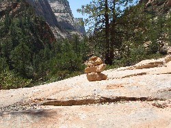
The trail that passes through Echo Canyon crosses open slickrock at times where the trail is hard to follow so it is marked by stacks of rocks called "cairns". Do not create new cairns to avoid confusing others. Always carry a good map with you and know how to read it to make sure you stay on the trail.
Water Sources
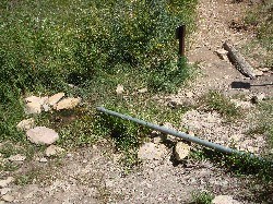
Stave Spring is located near the junction of the East Rim Trail and Cable Mountain Trail. Spring water flows through a pipe in the ground. Usually is dry by early summer. Not a reliable water source. Approximate Location |
Last updated: April 27, 2021


