Directions

A blue car parked in a parking lot with a large two-story yellow building in the background
William Howard Taft home as viewed from Taft Education Center parking lot on Auburn Ave.

NPS / Tom Engberg

 
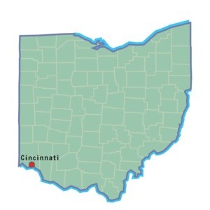
Cincinnati map location

Plane

The nearest airport for scheduled passenger flights is Cincinnati/Northern Kentucky International Airport. Other airports within proximity are Dayton International Airport and Port Columbus International Airport. Nearby general aviation airport include Lunken Airport.

Public Transportation

The METRO bus stop is located in front of the Taft Education Center the # 24 bus can be boarded downtown on the corner of 6th &Main Street.


Automobile

There are many ways to get to the park by car. Listed below are some of the more common directions to the park using the major interstates and highways around the Cincinnati area.
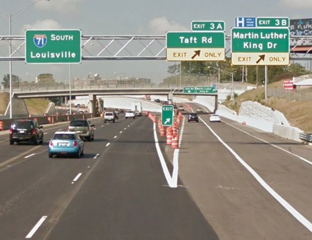
 
 
A green street sign above the highway
I-71 southbound exit at Taft Road, exit 3A.

Google Maps

Traveling on I-71 South

  • Take exit 3A (Taft Road). Ramp will merge onto Taft Road westbound.
  • Turn left onto Auburn Ave.
  • Park will be on left side immediately after Christ Hospital.
 
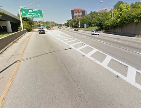
A green street sign above the highway with a large concrete wall on left
The left-handed Eden Park Drive exit on I-71 northbound.

Google Maps

Traveling on I-71 Northbound

  • Take Exit 2, Reading Road and Eden Park Drive (left-handed exit)
  • Stay in right lane; turn left at first stoplight onto Dorchester Avenue, and go to the top of the hill
  • Turn right on Auburn Avenue and go 1 ½ blocks to the site, park will be on your right

Traveling on I-75 Northbound from Kentucky
  • Take I-75 N and merge onto I-71 North
  • Take the Reading Rd./Eden Park exit - Exit 2 (left-handed exit)
  • Stay in right lane; turn left at first stoplight onto Dorchester Avenue, and go to the top of the hill
  • Turn right on Auburn Avenue and go 1 ½ blocks to the site, park will be on your right
 
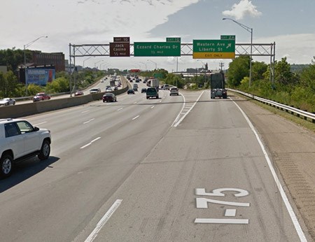
A green street sign above the highway
The Liberty St. exit off of I-75 southbound.

Google Maps

Traveling on I-75 South

  • Take exit 2A, Western Ave. & Liberty Ave.
  • Follow ramp to Liberty Ave, stay in left lane
  • Turn left onto Liberty Ave, follow to Sycamore St.
  • Turn left onto Sycamore St.
  • As you drive up Sycamore, it will bend right, keep left at the fork to continue onto Auburn Ave.
  • Park will be on right, about 700 feet after the fork

Last updated: November 25, 2020

Park footer

Contact Info

Mailing Address:

2038 Auburn Avenue
Cincinnati, OH 45219

Phone:

513 684-3262

Contact Us