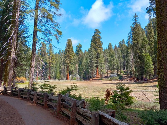
David Dinette The trail descriptions below are only a small sample of the many trails found in this area. Ask a ranger for more information on trails or purchase a map and/or trail guide at visitor center book stores at Lodgepole, Ash Mountain, Grant Grove, and Cedar Grove. Please be aware that pets are not allowed on any trails in Sequoia and Kings Canyon National Parks. In developed areas, pets must be kept on a leash at all times. General Sherman TreeThe Main Parking and Trailhead are just off Wolverton Road, which leaves the Generals Highway just north of the Sherman Tree area (between Lodgepole and the Sherman Tree). From this parking area, the 1/2-mile (.72 km) trail descends and includes some stairs. Rest on the benches along the trail; don't overexert yourself at this elevation (7000'/175m) if you are not accustomed to it. For accessible parking and an accessible trail, stop at the small parking area along the Generals Highway two miles (3.2 km) north of the Giant Forest Museum. When the free park shuttles are running (late May to early September and, some years, Thanksgiving and Christmas/New Years), you can park at the main lot, walk down to the tree, then continue towards the Generals Highway to catch a shuttle back to the main parking. Congress TrailHundreds of monarch sequoias grow in the Giant Forest sequoia grove. The Congress Trail, a paved two-mile loop that begins near the Sherman Tree, offers excellent opportunities to see notable trees. For a longer walk, explore the many miles of trails in the area. 
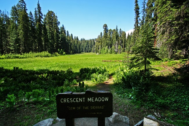
NPS Photo The Big Trees TrailThis 0.75 mile (1 km) trail circles Round Meadow. Colorful trailside panels describe sequoia ecology. Start at Giant Forest Museum and follow the paved, accessible trail from there. Parking for people with disability placards is available at the trailhead. Allow 1 hour round trip. Moro RockTo reach the top of this granite dome, follow a stairway that climbs 300 feet (0.09 km) to the summit. A spectacular view of the Great Western Divide and the western half of the park. The parking area is two miles (3.2 km) from the Generals Highway. In summer, free park shuttles lead to the parking area from Giant Forest Museum. Don't climb if ice or snow are present on the stairs; it is very dangerous. Tokopah FallsThe trail to Tokopah Falls starts just beyond the Marble Fork Bridge in Lodgepole Campground. It is an easy 1.7 mile (2.7 km) one-way walk along the Marble Fork of the Kaweah River to the impressive granite cliffs and cascading waterfall of Tokopah Canyon. Tokopah Falls is 1,200 feet (365.8 meters) high, and is most impressive in early summer, but be careful around the water! 
Rick Cain Other popular Giant Forest trails:
|
Last updated: August 4, 2025
