|
Fire Ecology is the study of interactions between fire and living organisms and their environment. Fire ecologists may study the effects of fire on plants, soil, animals, water quality, and more. They may also take a bigger picture approach and study how fire affects multiple aspects of an ecosystem, since organisms are connected to each other and to their environment. Scientists with an interest in longer term patterns of fire occurrence may study the history of fire through research involving tree rings, or model fire spread under varying conditions. These parks have a rich history of monitoring and research that has informed the fire management program.
Visit our keyboard shortcuts docs for details
The Fire Monitoring Program collects data before, during, and after prescribed burns or lightning-caused fires to characterize the effects of fire on vegetation and fuels. This information helps managers determine if burn objectives are met, and increases our understanding of fire's ecological role in these parks. Fire Monitoring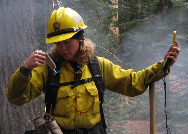
NPS photo The parks’ Fire Monitoring Program began in 1982. Its purpose is to help park managers understand if the decisions we have made managing fires are leading to outcomes that are good for forest and ecosystem health. The fire monitoring program focuses primarily on prescribed burns and lightning-caused fires that are managed for the benefit of these fire-adapted forests. However, occasionally monitoring occurs for other management actions that reduce fuel amounts, such as tree thinning. Monitoring includes the following components: 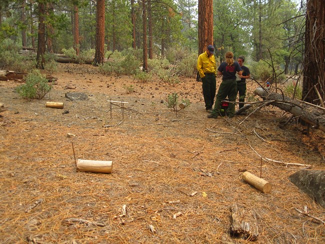
NPS photo Environmental and Fire ConditionsFire Monitors collect data on current weather conditions and note local landscape characteristics such as slope and aspect. They also pay attention to forecasted weather, important to predicting potential changes in fire activity. In addition to weather, they record what the fire is doing (this is known as fire behavior). Fire behavior may include the rate and direction of fire spread, the type and amount of fuel (live and dead vegetation) burning, and smoke movement and dispersal. Detailed information is collected on the amount of moisture in different sizes of logs and sticks (called fuel moisture). These data help to predict what the fire will do next, and to interpret results of other monitoring that tracks fire effects on vegetation and fuels. 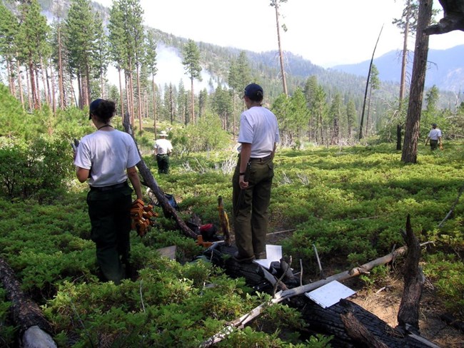
NPS photo Vegetation and FuelsVegetation is very diverse in these parks due to the steep elevation gradient and varieties of terrain. To characterize vegetation for fire and other management needs, we map it across the landscape, identifying different types of vegetation (such as ponderosa pine forest, giant sequoia/mixed conifer forest, or blue oak woodland). In fire management, the vegetation types that have missed many natural fires due to fire suppression can be identified from fire history research and local knowledge. Managers and scientists develop vegetation and ground fuel target conditions for these vegetation types. Prescribed fire, and occasionally tree thinning, are used to achieve these targets in selected areas. The targets include specific numeric ranges of densities and species composition of trees, amounts of ground fuels, distribution of fuels, and distribution of open areas or patches in the forest canopy. 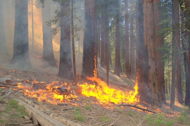
NPS photo / Anthony Caprio Fire RegimeA fire regime is the naturally-occurring pattern of fire in a particular vegetation type or specific location. The characteristics of a fire regime include:
Park managers monitor fire regimes to understand how fire burned in various vegetation types in the past and to measure the success of the program’s efforts at restoring and maintaining fire as a process. Lower elevation mixed-conifer forests had frequent fire in the past, and fire suppression resulted in many missed fires in this vegetation type. In contrast, higher elevation forests with infrequent past fire have remained closer to their historic fire regime. Understanding fire history and tracking recent fire occurrence allows managers to identify areas that most need restoration of fire. It also helps them evaluate how effective the fire management program has been in re-establishing fire as a process. 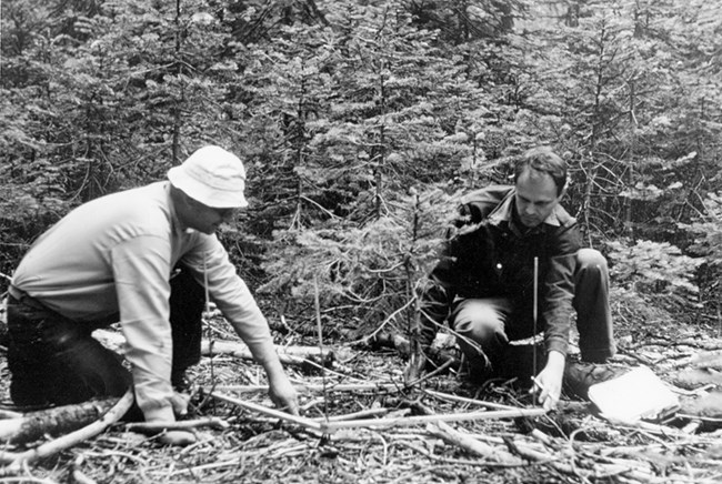
NPS photo Fire ResearchBruce Kilgore, an early research scientist in these parks, studied fire history and fire effects in giant sequoia groves and mixed-conifer forests in the late 1960s and early 1970s. His work established the foundation for the prescribed fire program. He worked closely with park managers to collect vegetation, fuels, and fire history data and conduct the first prescribed burn in the Rattlesnake Creek area of Kings Canyon National Park. In the decades that followed, many scientists from within the National Park Service as well as from the U.S. Geological Survey, universities, and other organizations contributed new information to the fire program through a variety of research projects. 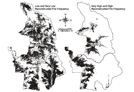
Image from paper: Caprio, A. C. and P. Lineback. 2002. Pre-Twentieth Century Fire History of Sequoia and Kings Canyon National Parks: A Review and Evaluation of Our Knowledge. AFE Misc. Publ No. 1. The majority of research has focused on the giant sequoia mixed-conifer forest, and includes a range of topics:
Learn more about Giant Sequoias and Fire and about giant sequoia responses to a recent hotter drought - Giant Sequoias and Climate. |
Last updated: October 12, 2023
