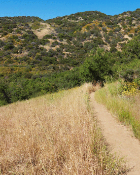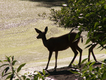
Photo by Mat McDermott Featuring 76 miles of trails, Topanga State Park is sometimes credited as "The largest state park within a city limit in the U.S." Its name originates from the local Indian dialect. The local tribes had villages in this rugged landscape for thousands of years. It wasn't until the 1920s that the park became popular with Los Angeles locals. The trailhead breaks off into a Eagle Rock/Eagle Spring loop trail, Musch Ranch trail, and Will Rogers State Historic Park via Rogers trail. The area holds great opportunity for hikers, bikers, and horseback riders. Click here for site information and maps.
Fee may be collected for entry. Directions 20825 Entrada Rd, Topanga, CA 90290 Main Entrance: South from Ventura Fwy (101) or north from Pacific Coast Hwy on Topanga Canyon Blvd to Entrada Rd on east (left) side of road. Turn east on Entrada Rd and make two left turns to stay on Entrada Rd to park entrance. Dead Horse Trailhead: From Topanga Canyon Blvd, turn East on Entrada Rd. Parking lot is 900’ on left. Los Liones Trailhead: From Pacific Coast Hwy turn inland on Sunset Blvd. Continue on Sunset Blvd for 0.25 mile and turn left on Los Liones Dr. Follow road to the end. This site is managed and operated by California State Parks. |
Last updated: January 5, 2022

