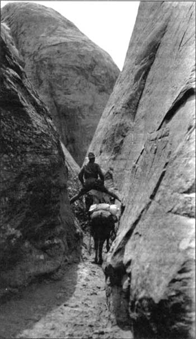
Backpacking to Rainbow Bridge from the Navajo NationHiking on Navajo Tribal Parks land requires advance backcountry permits. Trails OverviewRainbow Bridge National Monument can be reached by way of two hiking trails whose trailheads are located in the vicinity of Navajo Mountain. The two trails are located on Navajo Tribal Lands and terminate at Rainbow Bridge National Monument. The trails traverse rough canyon country and are not recommended for the beginning, casual or careless hiker. In summer, the trails are hot and dry; in winter, elevations make them subject to severe cold and high winds. Portions of both trails are subject to flash flooding during thunderstorms. Neither trail is maintained. Be prepared! Search, rescue and evacuation can be time-consuming and expensive. Neither the National Park Service nor the Navajo Nation is responsible for search and rescue operations that may need to be carried out on this trail system. Few trail signs exist. The trails are mostly marked with small stone cairns. These can be washed away during flash floods, so carry the appropriate 7.5’ quad maps. It is important to note that both trails lay almost entirely upon Navajo Tribal Lands. Utmost respect must be paid to homes, hogans, sweat lodges, and archeological sites along the way. It is preferred that vehicles not be left at the trailheads. Do not harass horses or livestock. Practice Leave No Trace backcountry ethics at all times: pack out all trash, build fires in established fire rings only, do not bury human waste near water sources, and most importantly, stay on the established trail. Before You Begin
Trail GuidesNorth Trail (PDF) |
Last updated: June 4, 2026