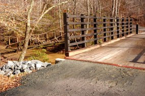
National Park Service 2.6 miles, 4.2 kilometers North Valley Trail is a beautiful, moderately-difficult hike that follows alongside Quantico Creek. The trail can be reached from many different areas. To take the trail from north to south, follow Burma Road down from Scenic Drive for about 10 minutes until you reach a road bridge and an adjacent foot bridge. Go over the road bridge and the trail head will be to your immediate right. Follow the light blue blazes to remain on North Valley Trail.
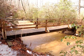
National Park Service North Valley Trail is one of the park's longer trails with many opportunities to connect up with other trails and fire roads. These include Burma Road, Lake One Road, Quantico Cascades Trail, Cabin Branch Mine Trail, Pyrite Mine Road, and South Valley Trail. Not too far down from Burma Road, you will come upon a small footbridge crossing over Quantico Creek. 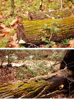
National Park Service As you travel down the path you will notice the many different types of plants and trees. This particular part of Prince William Forest Park is heavily populated with mountain laurel, different oak species, and birch trees. 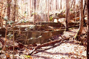
National Park Service About 20 minutes south of Quantico Falls, you will come upon a series of old foundations. These are the foundations of the Cabin Branch Pyrite Mine's three main buildings. The Boiler Room supplied power to run the mine. Machinery in need of repair would travel on a spur of a railway track to the Machine Shop and Engine Room. 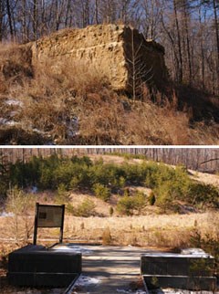
National Park Service Just after the boardwalk ends, the foundation of the Cabin Branch Pyrite Mine's Commissary building can be seen on the left. From here it is only a short walk to the Pyrite Mine Road bridge, where the North Valley Trail trail ends. From here you can access Pyrite Mine Road or South Valley Trail.
During the mine’s operation, more than 200,000 long tons of pyrite was brought to the surface and processed into sulfuric acid and used in making soap, fertilizer, and gunpowder. |
Last updated: September 28, 2017
