|

NPS
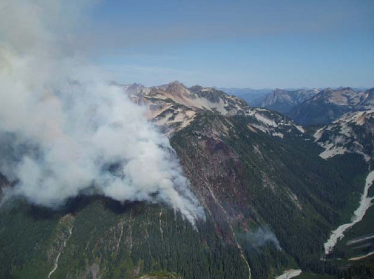
Contact: Kerry Olson, 360 854-7302 Overview: Twelve fires ranging in size from a single tree to 400 acres have been burning in the North Cascades National Park Complex since late June. All twelve fires were started by lightning. The total acreage for all fires combined is 696 acres. Five of these fires are being managed with suppression tactics to protect the public, and infrastructure in the area. The other seven fires are being managed for resource benefits. Current Situation: Wednesday, August 26, the Brush Creek fire became more active, growing by 5 or so acres and crossing the Brush Creek trail below the fire. On Thursday, it exhibited even more growth, and smoke could be seen from several lookouts around the Park. That fire is now estimated at over 100 acres. The fire is still burning within parameters established by fire managers, although it has created several spot fires ahead of the main fire. Also on Thursday a new fire was discovered. The Copper Ridge fire is burning on Copper Ridge above the Chilliwack River. Fire personnel will be assessing this fire on Friday. Conditions and Fuels: Fires are burning in fire adapted ecosystems. Fires are in subalpine and mixed conifer forests. Weather and Fire Behavior: Continued clear and dry with a chance of showers on Friday. Unstable atmospheric conditions may lead to additional fire growth. Resources Assigned to the Fires: Expected Actions: Fire personnel will continue to monitor the fires, and take actions as appropriate. TRAIL CLOSURES: The Panther Creek Trail is closed from the trailhead on Highway 20 to Fourth of July Pass, until further notice. The Brush Creek Trail is closed from Whatcom Pass to the Chilliwack River, until further notice. The Company Creek Trail is closed from the Stehekin Valley into the Glacier Peak Wilderness due to a fire in Sable Creek managed by the USFS. HIGHWAY 20: Highway 20 is open. Park visitor facilities have not been affected. Smoke: Numerous fires are burning in Canada and Washington State, causing haze within the Park. To see a satellite map of the smoke visit: www.osei.noaa.gov/events/current/fshscanada231_G11.jpg For more information about this fire, please see: www.inciweb.org/incident/1718 To learn more about wildland fire in the National Park System, please see: www.nps.gov/fire/fire/fir_wildland.cfm |
Last updated: August 11, 2017
