|
Mount Rainier National Park encompasses 235,625 acres or 368 square miles. Of that amount, 228,480 acres (97% of the park) has been designated by Congress as wilderness. The park's National Historic Landmark District includes 2.7% of the park. The park has over 260 miles of maintained trails and 147 miles of roads. Many roads and facilities in the park are only open seasonally. Make sure to check Hours of Operation, Road Status and Maps before planning your visit to the park. The park has five developed areas, with three visitor centers, a museum, and several wilderness and climbing centers and ranger stations. There are three main drive-in campgrounds, and two inns that provide lodging within the park. Where do you want to go? 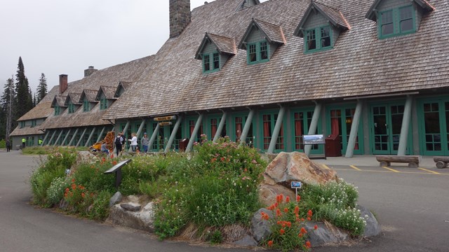
Lodging
Stay in one of the park's historic inns. 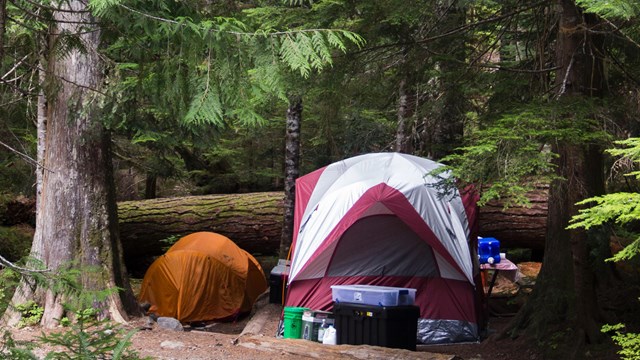
Camping
Find the perfect spot for a night outdoors in one of Mount Rainier's three campgrounds. Wilderness Hiking, Camping, & Climbing
Information and permits for exploring Mount Rainier's backcountry. 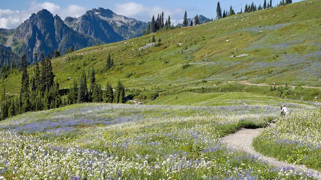
Paradise
Experience the colorful subalpine meadows of Paradise. 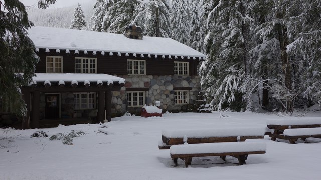
Longmire
With historic buildings and low elevation hiking, Longmire is open year-round. 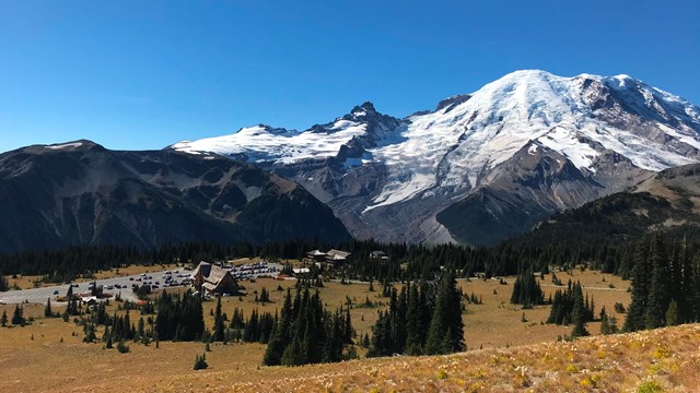
Sunrise
Drive into the subalpine zone for some of the best views in the park from Sunrise. 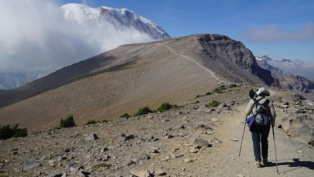
Trails of Mount Rainier
The park has over 275 miles of maintained trails to take you from forest paths to subalpine ridges. Find the trail for you! 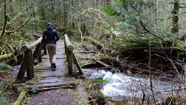
Carbon River & Mowich
Stroll through the temperate rain forests of Carbon River or visit the park's largest lake at Mowich. 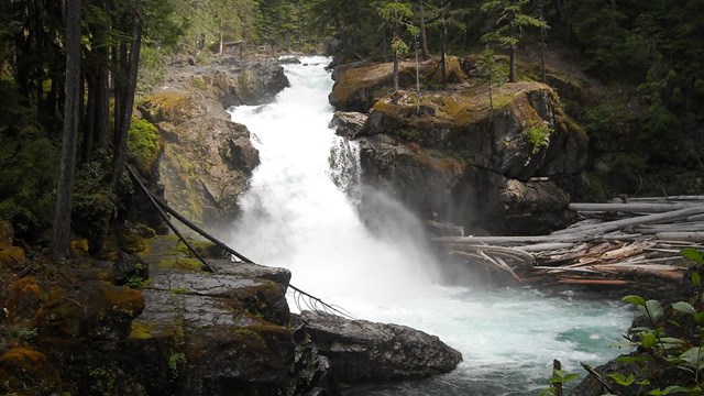
Ohanapecosh
Feel the spray of waterfalls and the calm of the old growth forests at Ohanapecosh. |
Last updated: June 11, 2025
