|
Located in southeast South Dakota and northeast Nebraska, the Missouri National Recreational River protects over 100 free-flowing miles of the Missouri River and several of its tributaries. The park is divided into two sections: the 39-Mile District and the 59-Mile District. From paddling and fishing to hiking and birdwatching, the Missouri National Recreational River offers a wide range of experiences and views along its stretches of the nation’s longest river. Whether you are planning a brief visit or researching for a long trip, check out the resources below to learn about park hours, things to do, places to go, safety tips, and more. 
Basic Information
Location, Hours, Fees, Weather and River Conditions, Permits 
Directions & Transportation
Directions, Maps, and Tips on Getting Around 
Accessibility
Accessible Facilities and Trails, Service Animals, Access Pass 
Nearby Attractions
Nearby Parks, Preserves, Museums, and Community Tourism Information 
Eating & Sleeping
Nearby Amenities & Camping Information 
Things To Do
Recommendations for exploring the MNRR Water Trail and other outdoor activities, scenic drives, and ranger-led activities. 
Calendar
Learn more about programs and events happening year-round 
Safety
Key information on staying safe on and off the river like river hazards and backcountry safety. 
Places To Go
Visitor centers, park properties and islands, scenic vistas, and nearby parks 
Brochures
Informational handouts available digitally and in print at Park Headquarters. 
Frequently Asked Questions
Frequently asked about the Missouri National Recreational River. 
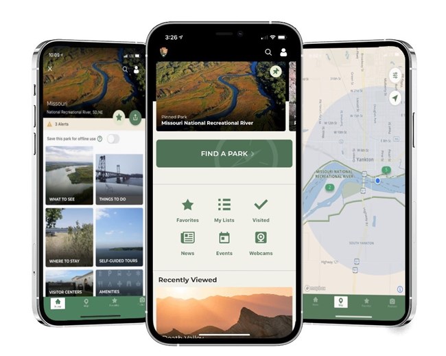
Free Mobile AppOne of the best ways to prepare for a visit to the Missouri National Recreational River and the Lewis and Clark National Historic Trail is to download our free app! Various features include interactive maps, park tours, amenities, accessibility, offline use, things to do, share your visit, news, alerts, events and more! It is available for all iOS and Android devices. Visit the Google Play or the iTunes Store to download the app. |
Last updated: November 18, 2025
