The Great Lakes Network parks extend from the boreal forests of northern Minnesota to the sand dunes of southern Lake Michigan, and include 72 miles of the Mississippi River and more than 200 miles of the St. Croix and Namekagon Rivers. Despite the network's Great Lakes designation, these parks fall into three watersheds: the Arctic Ocean, the Great Lakes, and the Mississippi River/Gulf of Mexico. Diversity abounds.
Great Lakes Network Parks
-
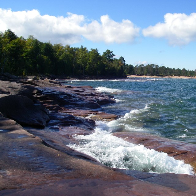 Apostle Islands National Lakeshore
Twenty-one islands along Lake Superior's south shore and 12 miles of mainland at the tip of Wisconsin's Bayfield Peninsula.
-
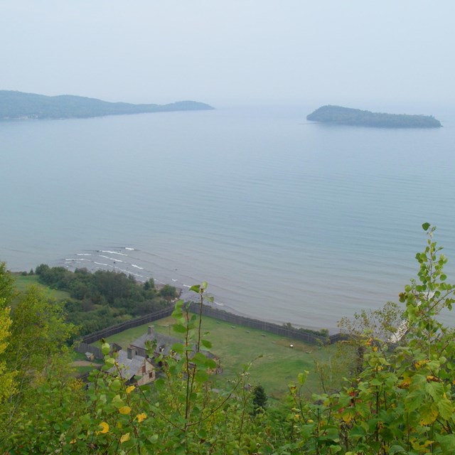 Grand Portage National Monument
Steeped in fur trade-era history, but a living example of cooperation between the NPS and the Ojibwe people.
-
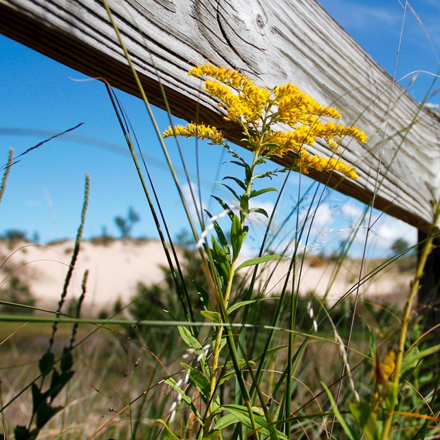 Indiana Dunes National Park
Urbanity meets nature at the Lake Michigan shoreline and extends to woodlands and prairies and wetlands.
-
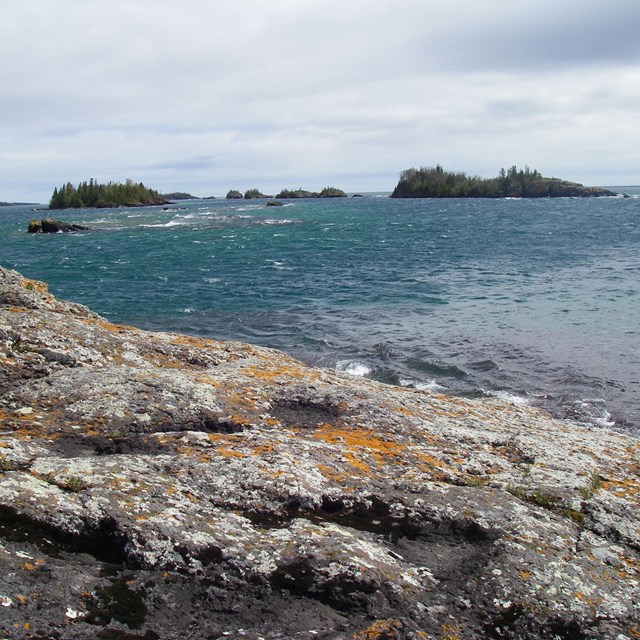 Isle Royale National Park
210 square miles of rugged land and waters accessible only after the ice has left Lake Superior and then only by boat or floatplane.
-
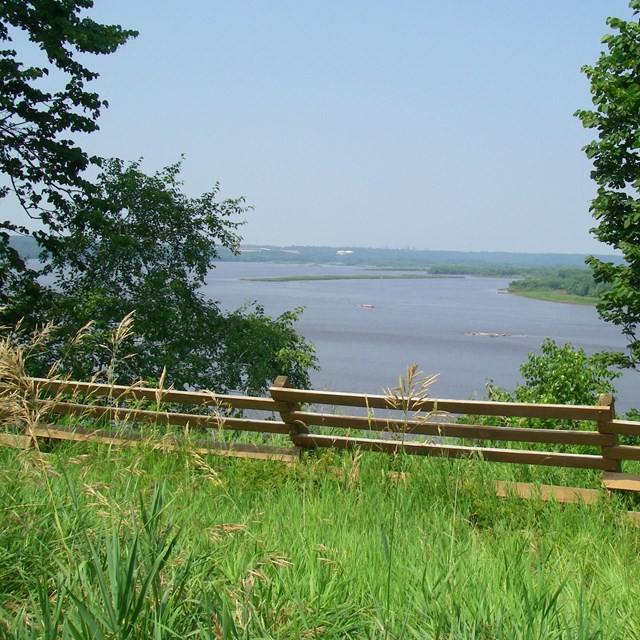 Mississippi National River and Rec. Area
Threading its way between Minneapolis and St. Paul, the working river meets nature and recreation.
-
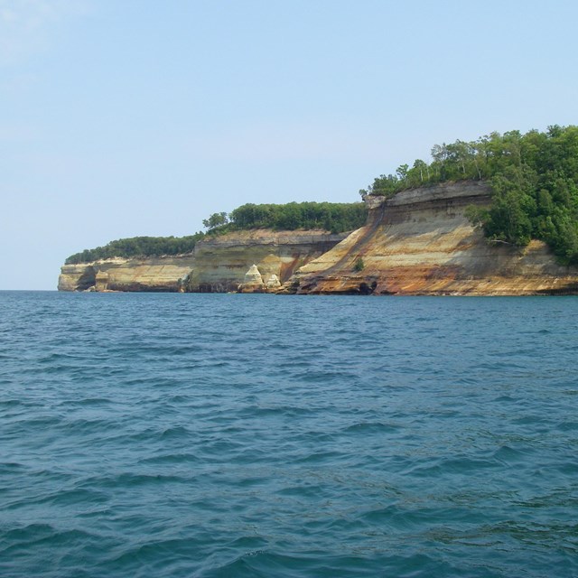 Pictured Rocks National Lakeshore
Named for the shoreline rock formations, but also offering the Grand Sable Dunes, northern hardwood forests, and hidden waterfalls.
-
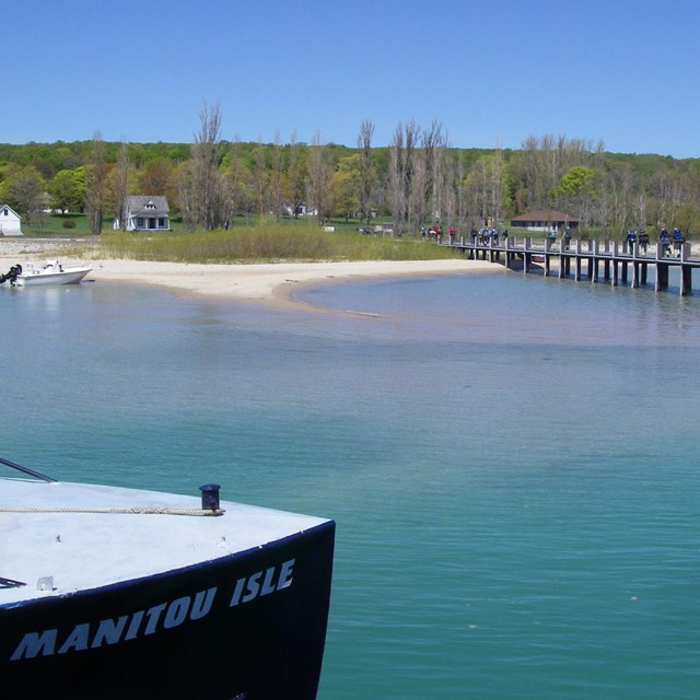 Sleeping Bear Dunes National Lakeshore
Towering sand dunes, deep forests, blue-green waters, and two remote islands. Beauty to immerse yourself in.
-
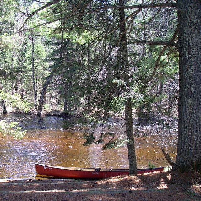 St. Croix National Scenic Riverway
Among the first in the country to be designated a Wild and Scenic River, there are 227 miles of nature and culture here to explore.
-
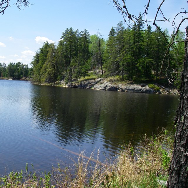 Voyageurs National Park
Along the fur trade-era canoe route on the U.S.-Canada border, there are miles of water and hundreds of islands.
Our Partners
-
 Dragonfly Mercury Project
The NPS Air Resources Division oversees the nation-wide community science project to monitor mercury in park waters.
-
 Great Lakes Research & Education Center
The GLREC collaborates with partners to increase the effectiveness and communication of scientific research in Great Lakes parks.
-
 St. Croix Watershed Research Station
The SCWRS studies the history of park waters through the collection of diatoms from lake-bottom sediments.
-
 OSU eMapR Lab
The eMapR lab at Oregon State University helps to develop tools for monitoring landscape disturbances in and around network parks.
-
 Burke Center for Ecosystem Research
The Burke Center for Ecosystem Research collects larval dragonflies at four network parts in support of the Dragonfly Mercury Project.
Find a Park
Last updated: January 9, 2026
