NPS
An 8.5-mile trail from the fort on Lake Superior up to the Pigeon River led fur traders to the interior of the continent. Today, "Kitchi Onigaming" (Ojibwe for "the great carrying place") is co-managed by the National Park Service and the Grand Portage Band of Ojibwe Indians.
Take a walk up the path and explore our resource briefs and reports to learn more about what we're learning at Grand Portage National Monument.
Resources Briefs are condensed versions of our technical reports. They rely on graphics and images more than dense scientific writing, but anyone who is intrigued and wants to know more can always use the resource brief as an entry into the report.
Source: NPS DataStore Saved Search 3443 (results presented are a subset). To search for additional information, visit the NPS DataStore.
-
Landscape Disturbances at Grand Portage National Monument, 1995-2018
A series of maps show the locations and extent of landscape disturbances in and around Grand Portage National Monument (Minnesota) from the period 1995 through 2018. This video resource brief is a product of the Great Lakes Inventory and Monitoring Network's Landscape Dynamics monitoring program and accompanies a report found at https://irma.nps.gov/DataStore/Reference/Profile/2293284.
- Duration:
- 8 minutes, 14 seconds
These technical reports are produced by network staff and other scientists working at Grand Portage. Lots of information, lots of fascinating discoveries.
Source: NPS DataStore Saved Search 3444 (results presented are a subset). To search for additional information, visit the NPS DataStore.
Source: NPS DataStore Saved Search 5698. To search for additional information, visit the NPS DataStore.

Kristofer Rolfhus/University of Wisconsin-La Crosse
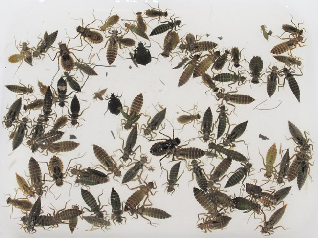
Dragonfly Mercury Project
As a foundational part of the aquatic food web, dragonfly larvae we collect each summer are tested for mercury in the environment, which helps us understand mercury contamination at higher levels of the food web.
Find the latest "dragonflier" for Grand Portage at The Dragonfly Mercury Project Annual Data Fliers (usgs.gov).
Last updated: September 4, 2025

