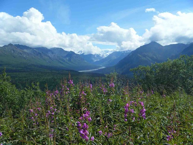
NPS/Neal Herbert
Wrangell-St Elias National Park and Preserve encompasses 5.3 million hectares (13.2 million acres) in southcentral Alaska. The park extends to the Canadian border on the east and to the northern Gulf of Alaska on the south.
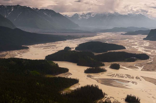
The park spans three climatic zones (coastal, transitional, and continental) and includes four major mountain ranges (the Wrangell Mountains, Chugach Mountains, St Elias Mountains, and the Alaska Range). Large expanses of open, low-elevation terrain occur within the Copper River basin, a relic of the huge proglacial Lake Atna (a lake formed at the foot of a glcier where it has retreated), which formed behind an ice dam at the confluence of the Copper and Chitina Rivers during the Pleistocene. The valley floor is now covered with braided river channels and surficial deposits mixed from alluvium and glacial outwash. Most of the rivers and streams are heavily influenced by glacier activity.
NPS/Bev Goad
Geologic Processes
Wrangell-St Elias National Park and Preserve is noted for its geological diversity. The region has attracted researchers to investigate volcanism, glaciation, plate tectonics, and quaternary geology. The Nizina and Chitistone Canyons are areas where the geologic record is well represented and extensively exposed. The geologic history clearly exhibits the dynamic nature of the processes involved in the formation of the Wrangell and St. Elias mountain ranges.
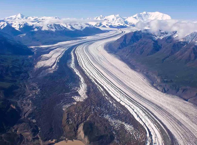
A defining characteristic of the mountain ranges is heavy glaciation. The park contains over 1.8 million hectares (4.5 million acres) of glaciers including the Nabesna Glacier, which is over 71 km (44 mi.) long. Glaciers cover 34.8% of the park and in the summer contribute a significant portion of the rivers’ high runoff and heavy sediment load. This heavy sediment load causes rivers to braid as one channel begins to fill with sediment forcing the water to switch to a new channel.
Several of North America’s highest peaks are within the park including Mt. St Elias (5,489 m [18,008 ft.]) and Mt. Wrangell (4,269 m [14,005 ft.]), an active volcano. From these mountains flow over three thousand glaciers varying tremendously in size. The Malaspina is one of the largest piedmont lobe glaciers, and Nabesna Glacier is one of the longest valley glaciers. Other glaciers, such as the Hubbard Glacier, terminate at tidewater and are known for their surging and retreating. Extensive ice fields also occur within the mountain ranges.
NPS/Shea Combs
Rivers and Fish
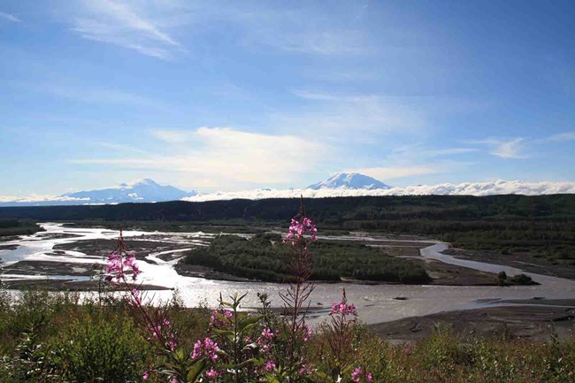
Four large river watersheds occur within the park--the Copper, Chitina, White, and Tanana rivers--dividing the landscape, with major salmon fisheries in the summer overlaid by access routes across the frozen surfaces in the winter. The park is home to a tremendous array of fish resources. Fish habitat ranges from large glacial rivers and streams to small clearwater streams, as well as a range of lentic habitats ranging from tundra ponds to large lakes. The Copper River and most of its tributaries are migration routes for sockeye, coho, chum, and king salmon. Small lakes and clearwater tributaries contain lake trout, Dolly Varden, burbot, grayling, cutthroat and rainbow trout, sculpin, suckers, and whitefish. Anadromous fish, including salmon and rainbow steelhead trout, dominate the fish communities in the Copper River. These fish transport large quantities of marine-derived nutrients into otherwise nutrient-poor systems. These nutrients support many of our aquatic ecosystems.
NPS/M. Reid
Wildlife
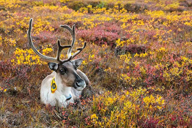
Protection of fauna populations, especially mammals, birds, and fish, was an important consideration in establishment of Wrangell-St Elias National Park and Preserve. Based on current information, there are 16 documented and 14 expected species of fish, four species of amphibians, 239 species of birds, and approximately 38 species of terrestrial mammals and nine species of marine mammals that occur in the park, in addition to an unknown number of invertebrate species.
Flora
Wrangell-St Elias National Park and Preserve encompasses a unique cross-section of boreal, subarctic, and coastal ecosystems in Alaska with floristic influences from Beringia, the Yukon, the Arctic, and the Pacific Mountain systems. The diversity of plant communities in this region is unsurpassed for a park unit in Alaska due to the expansiveness of the park, the three climatic zones it covers (maritime, transitional, continental), and the wide variety of geologic features found within its boundaries.
International Biosphere Reserve
In 1979, the United Nations Educational and Scientific and Cultural Organization established the geographic region now containing both Wrangell-St Elias and Kluane National Park as a World Heritage Site. This area was specifically noted for its importance in representing “incredible geological processes,” namely glacier dynamics, and “premier wilderness”. In 1992, Glacier Bay National Park and Preserve and Tatshenshini-Alsek Provincial Park were added to the World Heritage designation making the combined 9.2 million hectares (23 million acres) one of the largest protected areas in the world.
What's Happening in Wrangell-St Elias National Park and Preserve
Last updated: February 2, 2022
