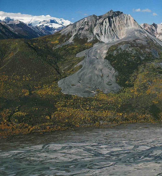
Central Alaska Network parklands are underlain by permafrost—ground that remains at or below 0°C for at least two, but typically many, years. Much of that permafrost, however, is geographically discontinuous, thin, and close to the melting point. Under the warming conditions that characterize these parks, permafrost thaw is likely to have significant impacts on their landscapes. These impacts may include development of thermokarst (a landscape of hollows formed by thawing permafrost), landslides and slumping, changes in hydrology and vegetation, growth and/or drainage of lakes, enhanced release of greenhouse gases, and decay of characteristic permafrost features like pingos (a raised mound of earth-covered ice) and rock glaciers. We monitor permafrost to track changes over multiple decades, focusing on the thermal and physical state of permafrost. Thermal changes will be monitored with a broad network of shallow (<3 m) soil temperature measurements and with temperature measurements from a single deep (29-70 m) borehole adjacent to each park. Physical changes will be monitored with a network of active layer thickness measurements collected in the late-summer to determine maximum thaw depth. The thaw depth measurements will be co-located with survey-grade differential global positioning system (dGPS) surveys of soil surface elevation to detect thaw-related subsidence. We will also monitor changes in one permafrost landform that is uniquely abundant in Wrangell-St Elias National Park and Preserve: rock glaciers. The areal extent, surface elevations, and velocities of a well-studied rock glacier in the central Wrangell Mountains will be measured every 6th year. Opportunities for monitoring of other important permafrost changes, particularly including carbon cycling and thermokarst development, are not included in this protocol, but will be considered for future studies. Contact: Ken Hill Learn more |
Last updated: March 6, 2025
