M. Grubb
Warming of the climate system is unequivocal, as is evident from observations of increases in global average air and ocean temperatures, widespread melting of snow and ice and rising global average sea level. (Intergovernmental Panel on Climate Change, 2007).
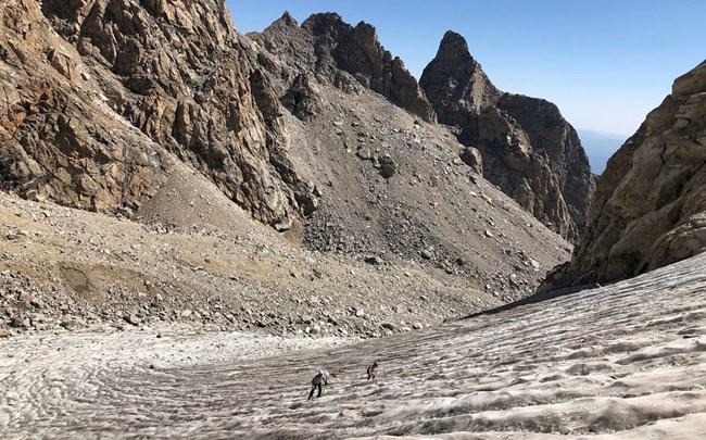
J. Bathen Shortly after graduating, I joined the Physical Science Program in Grand Teton National Park where we seek to answer that question. Grand Teton National Park is home to 11 named glaciers. Glaciers form where snow accumulates, compacts, and recrystallizes into dense ice that moves under its own weight. These glaciers are critical freshwater reserves, especially in late summer when seasonal snow has already melted. Middle Teton Glacier (MTG) is one of these 11 glaciers. MTG is a benchmark glacier (i.e., it is representative of other glaciers in the Teton Range) and is the primary focus of our monitoring efforts here in the park. 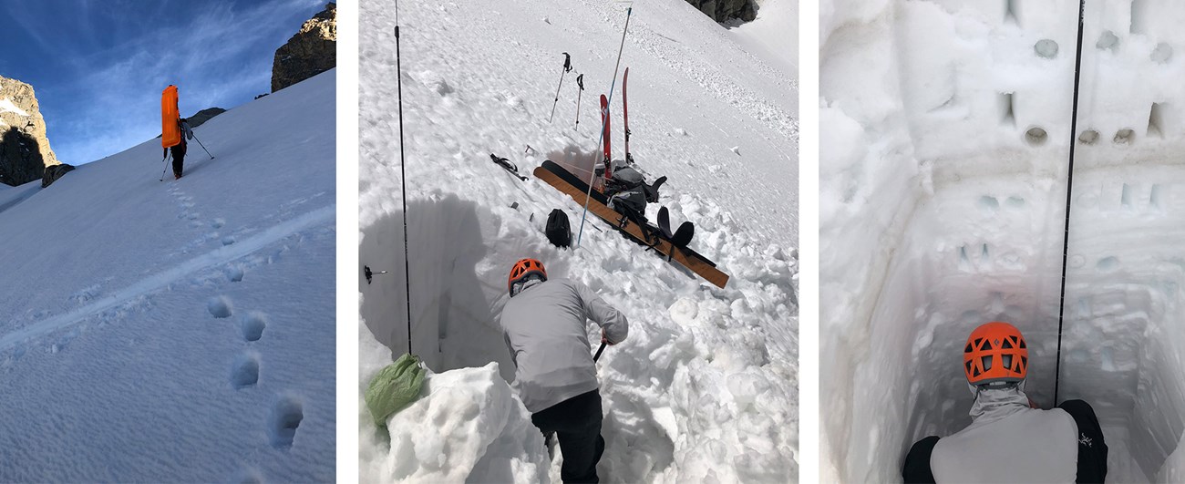
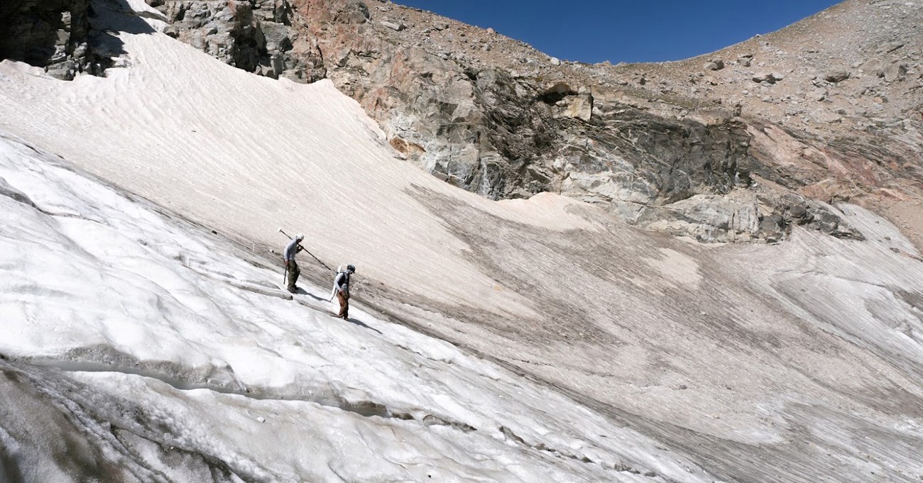
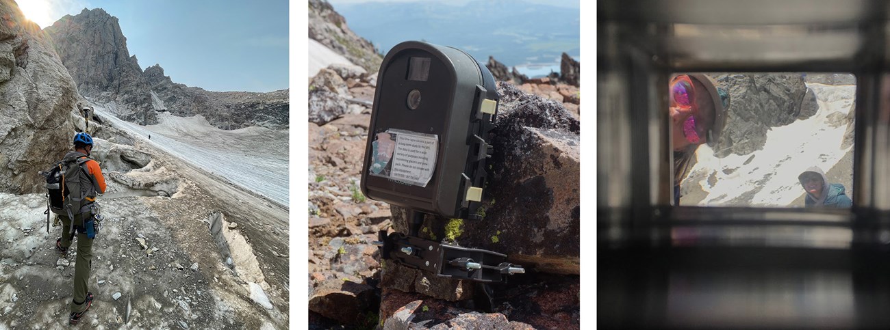
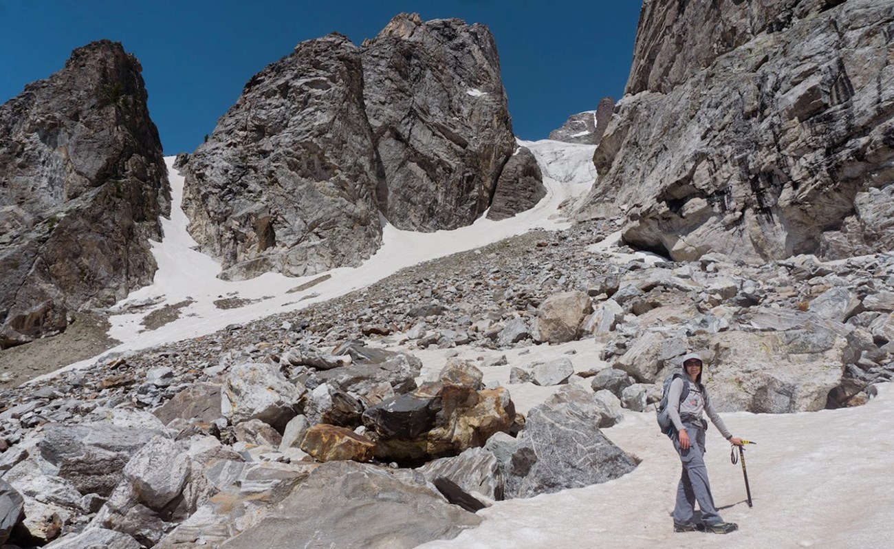
Monitoring of MTG by park staff began in 2014. Our monitoring plan includes measuring glacial volume and tracking glacial movements, a process that starts in late spring at the end of the snow accumulation season. At the glacier, we probe the snow and ice, record snow densities and depths, and install ablation (A.K.A. “melt”) stakes. These stakes are comprised of several marked PVC pipes connected inside by a string and are steam-drilled into the glacial surface. As the summer progresses and the glacial surface melts, the PVC pipes move downslope and become exposed. We track the movement of the stakes with GPS devices and record the length of PVC pipe exposed each month. In late summer, we coordinate with the Jenny Lake Climbing Rangers to survey the glacier’s surface elevation. Using data from the ablation stakes and elevation surveys, we can quantify the glacier’s balance (i.e., gain vs. melt) over a given year and compare against previous years.
NPS and M. Grubb
Monitoring MTG is no easy task. Our late summer fieldwork on the glacier requires detailed preparation: organizing our field crew, testing field equipment, packing our bags with food and supplies for 2–3 days in the backcountry, and checking weather forecasts. Weather permitting, we hike 5,000 vertical feet in five miles while carrying 30–50 lbs. backpacks. At the glacier, we attach GPS devices to three-meter survey rods; carefully walk on the steep, wet glacial ice to pre-determined locations; and record glacial surface elevations to centimeter accuracy. After surveying for several hours, we pack up our equipment and move to camp in the high country. We rise early and return to the glacier the next day to continue the survey. In total, the survey takes two or three field days and an additional week in the office to process data.
M. Grubb 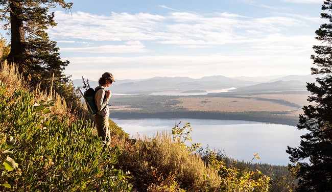
T. Carson After reading these results, my colleagues and I left the office overcome with sadness. We bought ice cream at Dornan’s, sat on a bench and ate in silence. How do we scientists, reading these results within the confines of our office cubicle, process the questions that come with the disheartening results of our hard work? How are we to preserve these glaciers for the enjoyment, education, and inspiration of current and future generations? Joni Gore, Hydrologist |
Last updated: March 29, 2023
