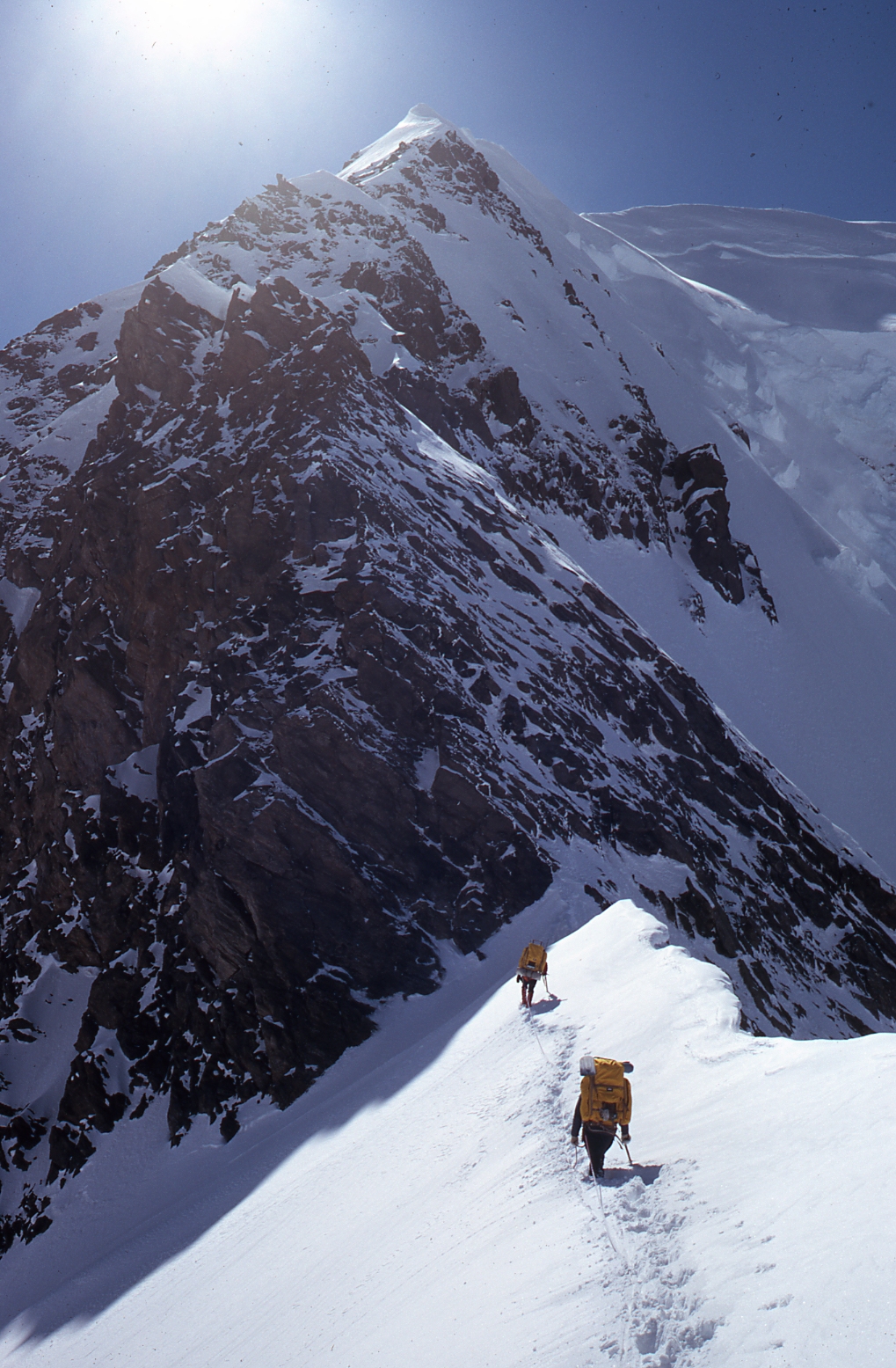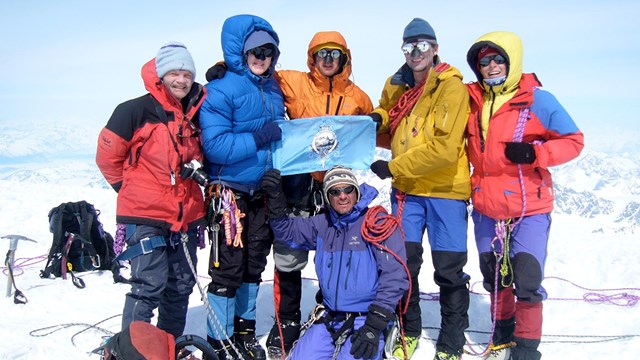
The coastal mountains of Glacier Bay National Park and Preserve, topped by the 15,300 foot Mt. Fairweather, are among the least visited mountains of their elevation in North America. Many mountains in the range are unnamed and only limited information is available on most routes. Mountaineering is made especially challenging by a stormy weather pattern that includes over 100 inches of precipitation per year. Unpredictable storms frequently cause delays when transporting to a base camp and often forces "holding up" for multiple days or abandoned attempts. Many climbs take as long as one month to accomplish. Weather conditionsThere is limited weather data available on the Fairweather range. It can snow during any month of the year at higher elevations and as low as 6,000 feet during the summer. Overcast days and rain predominate. Conditions in May can be reminiscent of winter. Summer weather patterns in July and August usually cause slush and avalanche conditions. September is susceptible to an early winter with severe storms and heavy snowfall. Getting ThereMost climbing in the park is accessible via charter boat or floatplane out of Juneau, Gustavus, Haines, or Yakutat. Fixed wing aircraft landings are allowed in the park but helicopter landings and airdrops are prohibited. Guided MountaineeringCommercially guided mountaineering trips are generally authorized east of, but not including, the Fairweather Range by a park-issued Commercial Use Authorization. As an interim measure, two guided mountaineering trips are also authorized in the Fairweather Range each year. A list of currently authorized mountaineering guides is available. In Case of EmergencyGlacier Bay National Park does not maintain a rescue team with high altitude rescue capabilities. Due to this and the remote nature of the area, all climbers need to be completely aware of the skill, experience, and judgment required to plan and accomplish a successful climb. Climbing parties should plan and arrange for their own backup. Many parties carry Marine VHF radios or satellite phones. These may be available for rent from local air taxis. Additional InformationBears can be a problem in lower elevation camps. Camps should be kept clean and food must be properly stored to avoid attracting bears. Learn more about hiking and camping in bear country. Our main concern is to minimize human impacts and allow for high quality wilderness experiences. All litter, including wands and fixed ropes, must be removed. Party size is limited to a maximum of twelve people to minimize human impact within this designated wilderness. Please be aware that the remote access, harsh conditions, and limited availability of rescue require that a climbing party be experienced and totally self-reliant. 
Mountaineering History in Glacier Bay History of names for the Fairweather Range and the successful summit attempts

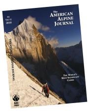
American Alpine Journal A comprehensive index now allows you to locate reports of climbs based on region, country, climber, and peak name. More reading Climbing Guide(s):
Literature:
Websites:
MAPS: United States Geological Survey Maps:
Last Updated 2009

Backcountry Camping Information
Planning, Trip Information, Current Information 
CUA Application Portal
Apply for a CUA through the CUA Application Portal here. |
Last updated: March 19, 2025
