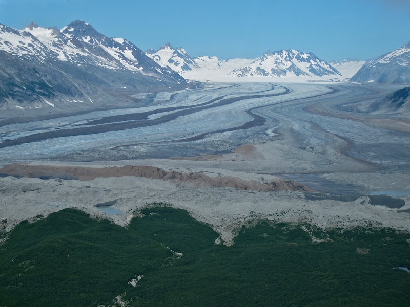
New vegetatation fills in the areas left barren by retreating glaciers. NPS Photo by Jim Pfeiffenberger
From Stacia Backensto, wildlife biologist and outreach specialist with the Arctic Network Inventory and Monitoring Program:
"Sixty percent of Alaska’s glacier-covered area lies partly or wholly within lands administered by the National Park Service. Many park glaciers are shrinking―retreating from their terminus, yet some appear surprisingly stable and a few are actually advancing (surging). Newly deglaciated terrain is the fastest-growing landscape type in Alaska's parks. Mike Loso (Wrangell-St. Elias National Park and Preserve/Central Alaska Network Inventory and Monitoring Program) with collaborators at University of Alaska Fairbanks completed a comprehensive inventory of the glaciers in our parks in 2014 to document changes in these enormous features.
Explore changes in 18 park glaciers in the new story map Glaciers in Alaska’s National Parks: Monitoring Change.
For more on the story of change watch the collection of videos on Alaska NPS YouTube playlist– Alaska National Park Glaciers Status & Trends."
Glacier Bay National Park is home to more than 1,000 glaciers, including about a dozen tidewater glaciers. Since there are so many glaciers, researchers have selected three for long-term monitoring: Brady, Margerie, and Muir.
The story map contains a lot of information about overall trends in parks and individual glaciers. Click on the turquoise tab on the upper left corner of the main page to see the complete list of parks and glaciers.
