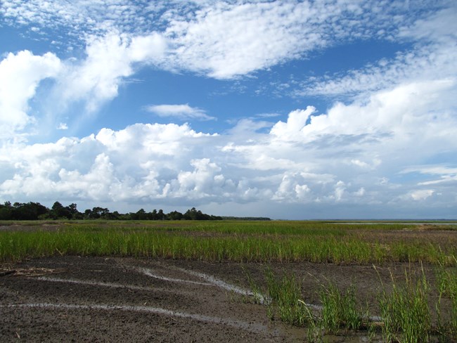
NPS/J. Cadoff Hot, Wet, & StormyIn the 17th and 18th centuries, the Lowcountry (coastal region of Georgia & South Carolina) was a wild, dangerous subtropical wilderness. The citizens of Savannah (founded 1733) had to contend with a harsh environment. Lowcountry winters are short (December to February), and springs/summers are quite long. Breezy conditions near coastal waters have a moderating effect on temperatures. Hot and cold temperatures tend to be less extreme in the Lowcountry compared to inland regions. The subtropical climate of the region also exacerbated the spread among colonists. Such diseases as yellow fever, malaria, smallpox, and typhus could run rampant in this climate. The average annual rainfall ranges from 30 to 50 inches in the island regions. A large high pressure cell, called the Bermuda high, affects the Southeast in summer months. The Bermuda high diverts large continental storms away from the Lowcountry. Summer rains in the Lowcountry tend to result from local convection storms as a result. These convection storms don’t always produce rainfall. Periods of summer drought are not uncommon. When summers draw to a close, so too does the Bermuda high. This exposes the Lowcountry region to large, frontal storm systems which can produce tropical storms and hurricanes. 
NPS Photo - Davey Allen During the colonial period, long term residents chose to remain after getting used to the climate conditions. However, newcomers to the region did not have the same tolerance. New inhabitants, who did not have the ability to seek a home in a more welcoming climate, were frequently battered by strong storms. These storms became a source of great concern for France and Britain, whose navies were exposed to much risk in American coastal waters. In Savannah, these concerns were exemplified in the troubles French Admiral d’Estaing’s fleet encountered after the Battle of Savannah in October 1779. The French fleet got caught up in a hurricane which sunk some ships and made others vulnerable enough to be seized by the British. The very next year, eight hurricanes threatened the Atlantic and Gulf coasts. 1780 was one of the deadliest years for hurricanes on record. To this day, hurricanes are particularly dangerous to barrier islands and coastal marshland. Their fierce winds and enormous storm surges can erode islands and deposit sediment in marshes. Tide levels are typically predictable in advance. However, the interaction between tidal action and storms can produce extreme and unpredictable results. It is critical to understand the impact a volatile climate can have on our natural and cultural resources. This knowledge can minimize negative effects to parks, helping to preserve parks like Fort Pulaski National Monument for years to come. References A Guide to a Georgia Barrier Island, Schoettle, Watermarks Publishing (1996) Lowcountry Hurricanes, Fraser, University of Georgia Press (2006) Saltmarsh Ecology, Adam, Cambridge University Press (1990) |
Last updated: December 8, 2025
