
NPS Photo The Enchanted Land

NPS Photo Fort Pulaski National MonumentFort Pulaski National Monument, located in Chatham County, Georgia, lies along the Savannah River only a few miles from its junction with the Atlantic Ocean. With the exception of approximately 250 acres on Cockspur Island and 200 acres on McQueens Island, the 5,400 acre park consists primarily of tidal marshes and mud flats that are subject to twice-daily inundation of a six to ten foot tide, the second highest tidal range on the U.S. eastern seaboard. These two islands that make up the site were, before human intervention, primarily salt marsh. Maritime forests, scrubland, shorelines, and grassed areas created through stages of succession and human intervention create diverse ecosystems providing habitat for a wide range of wildlife. Click on the links below to find out more about the wildlife inhabiting Fort Pulaski National Monument, the various ecosystems, and environmental factors and management challenges natural resources face at the monument and along Georgia’s coast.

Animals
Explore the many species of wildlife that Fort Pulaski supports, including 11 Protected Species that have been identified in the park. 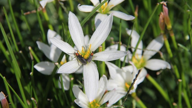
Plants
Explore the diverse vegetation that shape the landscape of Fort Pulaski and provide habitat to the park's wildlife. 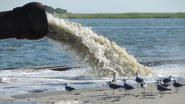
Environmental Factors
Learn about the different environmental factors that impact the park and the management challenges that they create for park staff. 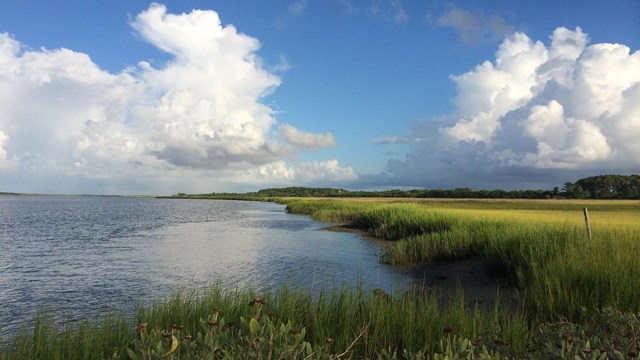
Natural Features
With over 4,800 acres of salt marsh and about 500 acres of dredge spoil, Fort Pulaski is a mosaic of unique ecosystems and natural features. 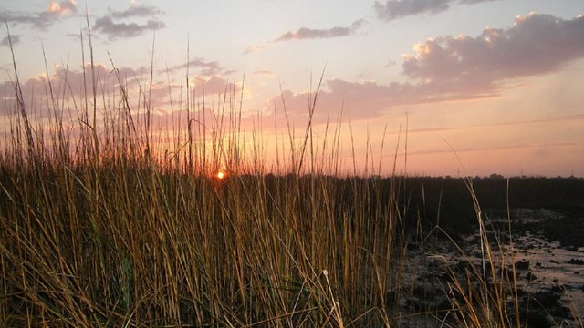
Wilderness
See why nearly 4,500 acres of pristine salt marsh located in Fort Pulaski is managed as "wildnerness" under the Wilderness Act of 1964. |
Last updated: December 15, 2025