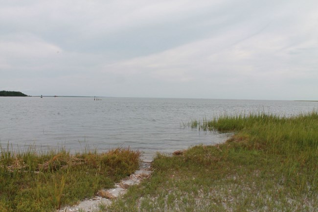
NPS Photo TidesGeorgia's unique coastal region owes many of its characteristics to the local hydrology. Tidal submergence distinguishes coastal saltmarshes from terrestrial habitats. Tides are regular, periodic changes in sea levels caused by gravitational effects of the sun and moon on ocean waters. The shape of the seabed interacts with landmass distribution to form discrete tidal basins, each with their own characteristics. In each basin the tidal waves rotate about a node, referred to as the amphidromic point, where the tidal amplitude is zero. The tidal amplitude, or total range between high and low tide peaks and troughs, varies according to distance from the amphidromic point and local coastal morphology.
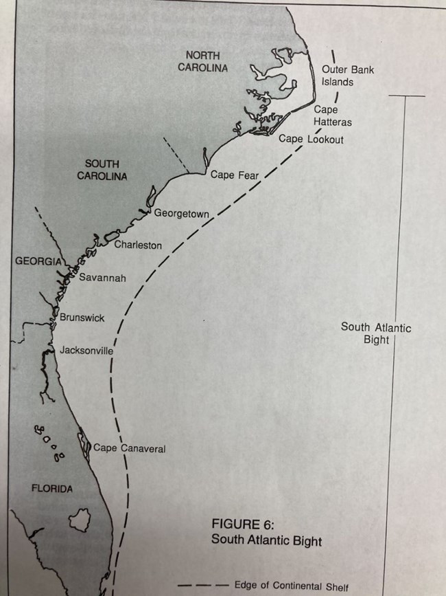
Schoettle & Smith The South Atlantic BightGeorgia’s tides are categorized as semidiurnal, featuring two high tide peaks and two low tide troughs over a 24 hour period. This is typical of tidal patterns along the Southeast Atlantic coast. The Georgia tides range from 6 to 9 feet, which is atypical compared to the areas around Cape Hatteras or Miami. The unique nature of Georgia’s tides is owed to the geographic location of the Georgia coast, the westernmost point of any Atlantic coast region. The coastline curves inland between North Carolina and Florida, and the area contained within is known as the South Atlantic Bight or Georgia Bight. Miles offshore, the tidal range of the Atlantic Ocean is 2 to 3 feet. The tides reach more Eastern regions like Cape Hatteras first, so their tidal ranges tend to reflect that of the open water. The tides then funnel westward into the South Atlantic Bight, where what basically amounts to a “sloshing” effect results in a graded increase of tidal ranges. St Simons and Jekyll Islands, which are at the inward-most point of the Bight, experience the most severe tidal ranges. The high tides interact with the gentle, gradual slope of Georgia’s coastal plain to form some of the most expansive marshland on America’s eastern seaboard.
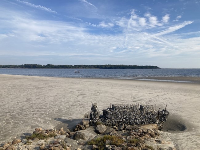
NPS/Davey Allen Surf's Up - Or Not?Georgia typically has small waves. The energy of waves that come in from offshore is dissipated by bottom friction that occurs when the waves travel over the shallow waters of the continental shelf, which extends to about 60 miles offshore. Sandbars and shoals account for additional energy loss as the waves move over them. Beaches with large tidal ranges, like those of the Georgia coast, typically have low-energy waves and are called tide-dominant. Georgia’s beaches – flat, with expansive wet intertidal zones and small or no dry upper beach – are formed by all of these factors. The weak waves lack sufficient energy to carry coarse sand from the continental shelf, so Georgia beaches tend to have fine sand. The low wave energy also means that shells washed up by the tides are often quite well preserved. Relics of this tidal action, like the ever popular horse conch, decorate homes and businesses all over Georgia’s coast.References Saltmarsh Ecology, Adam, Cambridge University Press 1990 A Beachcomber's Guide to Georgia's Barrier Islands, Schoettle & Smith, Schoettle 2011 A Guide to a Georgia Barrier Island, Schoettle & Smith, Schoettle 1996 |
Last updated: December 8, 2025
