|
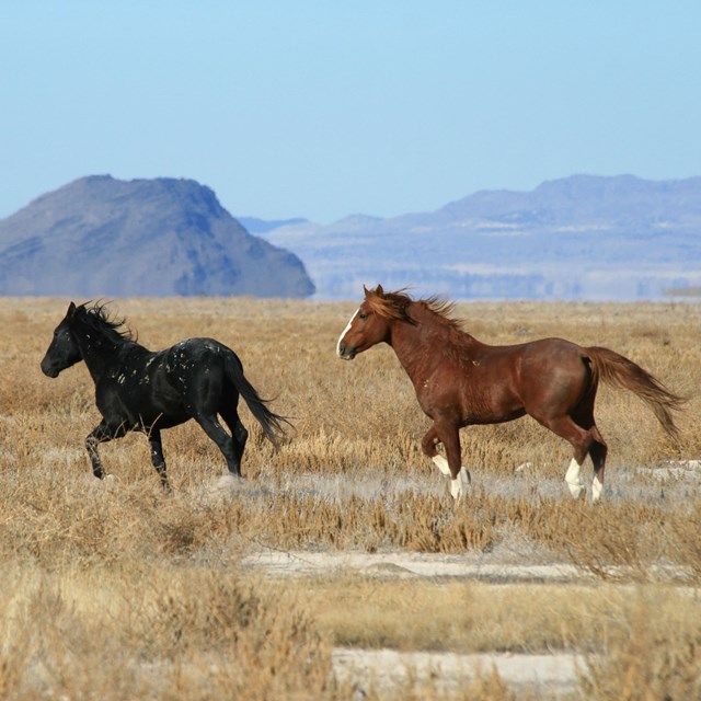
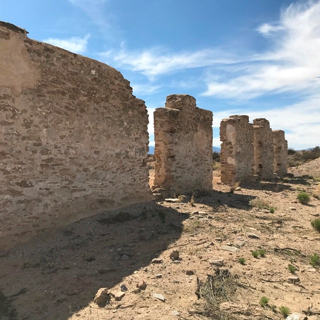
StoryMaps are tools used to tell compelling stories in a visually appealing and immersive manner. They combine real geo-spatial data, images, text, and other multi-media in one cohesive platform. The storymap is best viewed within a full browser window. Agricultural Connections Along El Camino RealCrops that link people and ecosystems, past and present along El Camino Real de Tierra Adentro National Historic Trail. Traversing El Camino Real de Tierra AdentroTransportation in New Mexico from Indigenous Trails to US Railways. Learn More
|

Last updated: July 20, 2022