|
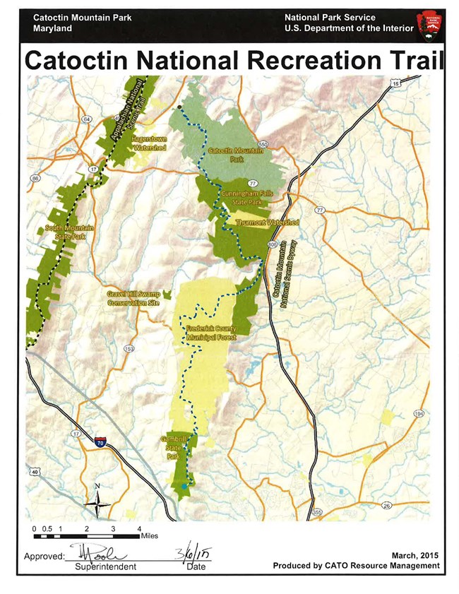
The Catoctin National Recreation Trail runs 26.6 miles along the eastern-most ridge of the Blue Ridge Mountains in Frederick County, Maryland 55 miles northwest of Washington, D.C. and Baltimore.

XX

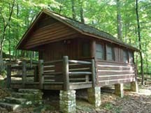
NPS Photo The north trailhead is in Catoctin Mountatin Park and lies within three miles of the Appalachian National Scenic Trail. Along its route the trail crosses a State Scenic Byway and parallels the Catoctin Mountain National Scenic Byway. There are historic districts (Camp Greentop and Camp Misty Mount) as well as historic and prehistoric archeological resources along the trail, including Indian flint napping sites and Colonial era charcoal hearths. In addition to skirting several lakes, the trail also accessess numerous scenic vistas with views of the Monocacy River Valley.
After crossing Catoctin Mountain Park the trail passes through Cunningham Falls State Park, Gambrill State Park and two municipal watersheds while traversing the eastern most ridge of the Blue Ridge Mountains in Maryland. The south trailhead is at Gambrill State Park.

NPS Photo Portions of this trail were originally designed and constructed by the Works Progress Administration and the Civilian Conservation Corps in the 1930's. The Catoctin National Recreation Trail provides recreation to the towns of Thurmont and Smithsburg on the north and Frederick, MD on the south in addition to serving over three million visitors per year from the Washington and Baltimore metropolitan area.
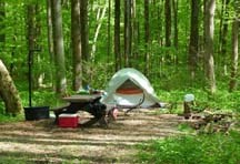
Hiking, horseback riding, cross-country skiiing, and snowshoeing are permitted along sections of the trail that pass through the national park. Camping is also available in the Owens Creek Campground with advance reservations. Beyond the park boundary, in adjacent jurisdictions, other recreational activities are permitted, including: mountain biking, kayaking, canoeing, fishing, and rock climbing. Visit websites for Cunningham Falls State Park, Gambrill State Park, and Frederick County Municipal Forest for details.
The trail surface is soil and rock with an average grade of 6 degrees.
NOTE: Management of this trail is by a diverse partnership of all levels of government and non-profit organizations who manage a variety of recreational uses along the trail. This information is provided for the convenience of the public, trail managers, organizations, elected officials, etc. Neither the National Park Service, the USDA Forest Service, nor American Trails can guarantee that the information is accurate. Trail users are urged to inquire locally about weather, trail conditions, trail characteristics, fees, and regulations! |
Last updated: April 13, 2019
