|
All maps tell a story, whether it is a trend, pattern, event, or some other tale. The National Park Service and Canyonlands have found a way to tell some of its stories through the creation of StoryMaps. StoryMaps are tools for digital exploration. They focus on places while telling a story. StoryMaps use spatial data, such as coordinates on a map, and combine them with text, photos, and video to create an immersive experience. Take a deep dive into the stories that Canyonlands can tell by exploring the StoryMaps below. 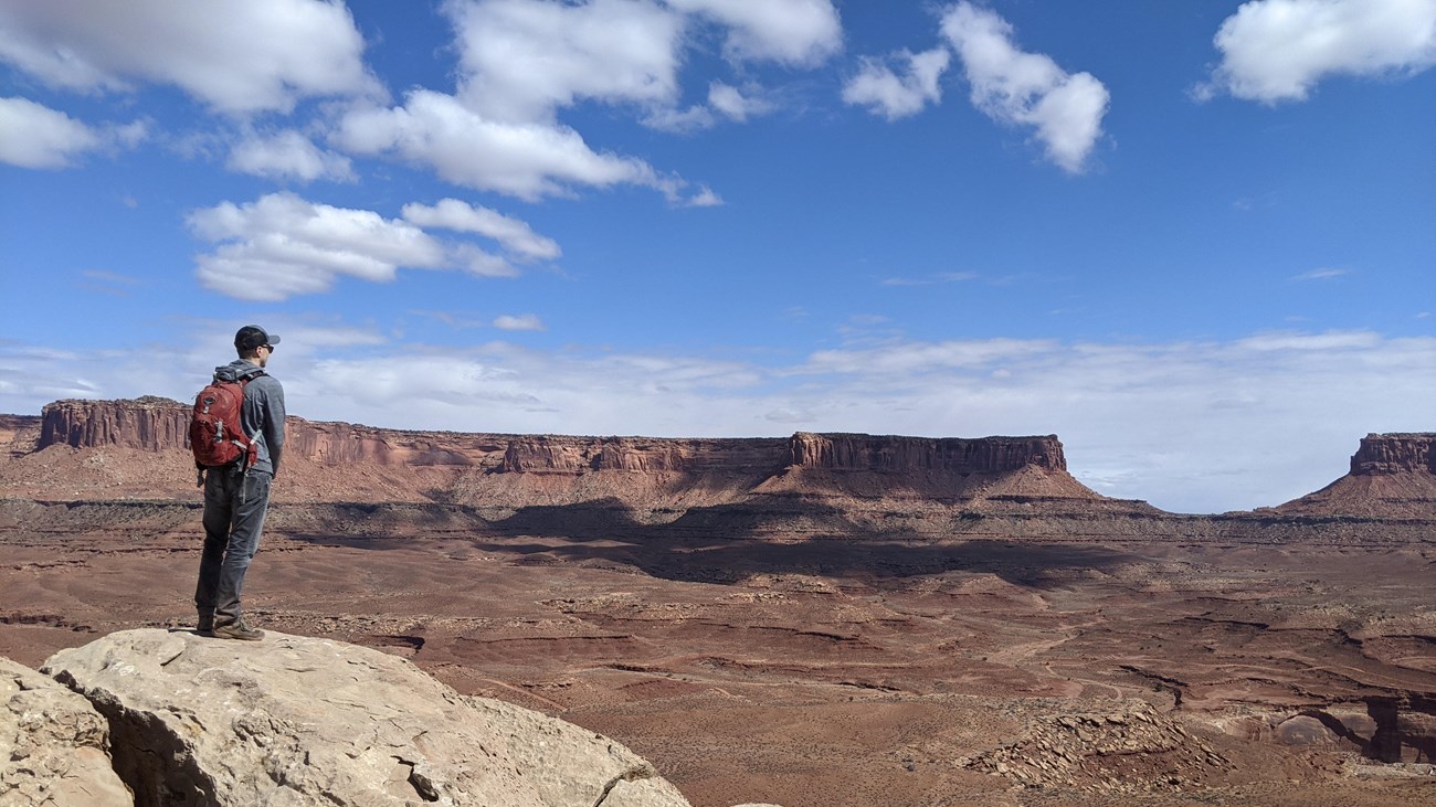
A Wilderness Character
Discover the meaning of wilderness, and how visitors to Canyonlands' backcountry experience this special place. |
Last updated: April 29, 2025