
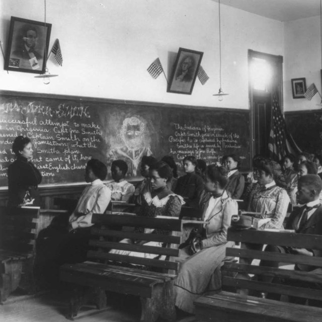
The Monroe Elementary School site was originally part of a homestead claim by Jacob Chase, one of the founders of Topeka. John Ritchie settled in the future state capital of Topeka in 1855. The following year, he purchased a 160-acre claim from Jacob Chase, building a home and farm on part of the site. He and his wife, Mary Jan Shelledy, were committed abolitionists and worked as “conductors” on the Underground Railroad. Ritchie became a prominent figure in Topeka history, selling and sometimes giving away pieces of his land to blacks and poor whites. These sites collectively became known as “Ritchie’s Addition” and the lots were 25 feet by 150 feet, with a wide alley bisecting the block for utility access. By 1865, Ritchie established a Christian college, and later established a cemetery for African Americans and poor whites who were not allowed in Topeka’s cemetery. In July of 1889, lots 505, 507, and 509 on Monroe Street, at the corner of 15th Street, were purchased by the Topeka Board of Education as the site for a school for black children. These lot numbers, based on Sanborn maps of 1889 and 1896, are consistent with the current numbering system. An existing building on the site was rented as a temporary school until 1874, when construction began on the first Monroe Elementary School. This building was remodeled in 1911 and demolished in 1927 when the new school was completed.
In June of 1913, the Board purchased lots 513 and 515, and by 1916 had purchased lots 517, 519, 521, and 523. In 1926 lots 525, 527, 529, and 531 were added, the last two through condemnation. These combined lots became the site for the new Monroe Elementary School and playgrounds completed in 1927. In 1934, seeking additional playground space, the Board purchased the vacant triangular parcel on the east side of Monroe Street. This was the final acquisition to the Monroe Elementary School site.
Subsequent sales of the property included the entire Monroe Elementary School site package. The school was closed in 1975, but the property was held by the school board until it was sold to Richard C. Appelhans in 1980. The Fairlawn Church of the Nazarene purchased the property from Appelhans in 1982, selling it to S/S Builders (Mark A. Stueve, President) in 1988. The Trust for Public Lands relieved Stueve of the property in 1991 and donated it to the United States of America, National Park Service, in 1993.
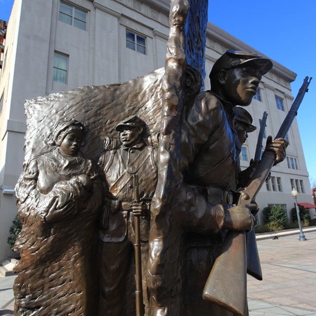
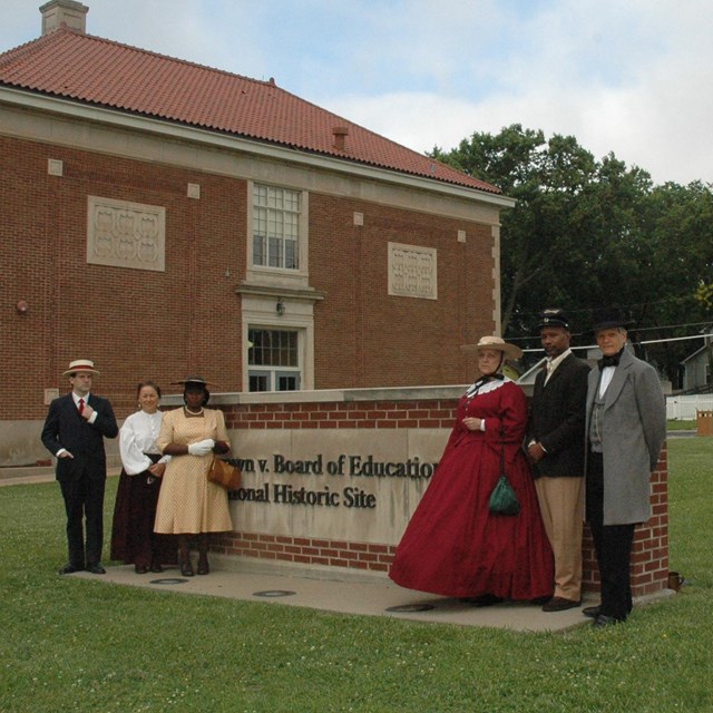
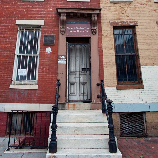
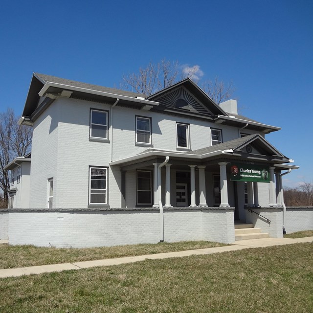
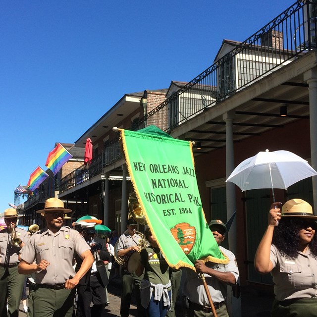
African American Experience FundThe mission of the African American Experience Fund of the National Park Foundation is to preserve African American history by supporting education programs in National Parks that celebrate African American history and culture. There are 26 National Parks identified by the African American Experience Fund: |

 and (1523) Southeast Monroe Street. While all lots were combined for the school site, the buildings right exterior wall doesnt begin until lot 511, or 1507 Southeast Monroe Street. The left exterior building wall terminates between lots 523 and 525, or (1521) Southeast Monroe Street. The two-story school building is labeled Monroe Public School and Negro in parenthesis and colored light peach. The words Heat: Steam and Lights: Elec. are below Negro. The front of the building faces to the right-hand side of the map, which is Monroe Street. The layout of the building is a rectangular block with a center hall running the length of the building and features a projecting block to the rear of the building labeled Auditorium and Gymnasium. On the back side of the building and adjacent to the Auditorium and Gymnasium extension is a small block addition labeled as Coal Pit Und Grad and Fire proof construn. While constructed with many classrooms and support rooms on both floors there are no room dimensions or floor plans provided for any interior rooms. The majority of ceiling heights in the building are 12 feet with a 25-foot ceiling height in the Auditorium and Gymnasium. Labeled in the center of the building is (Built 1926) in parenthesis and the following text: Fireproof Constrn., Walls, Concr, Flrs. & Roof Slab. False Frame Roof Above. Only portions of other lots both in front of the building across Monroe Street and behind the school building can be seen on the map, but none are complete lots or show any details. Monroe Street appears to be a standard 60-foot-wide street, although no dimensions are shown on the map.")


Last updated: March 5, 2026