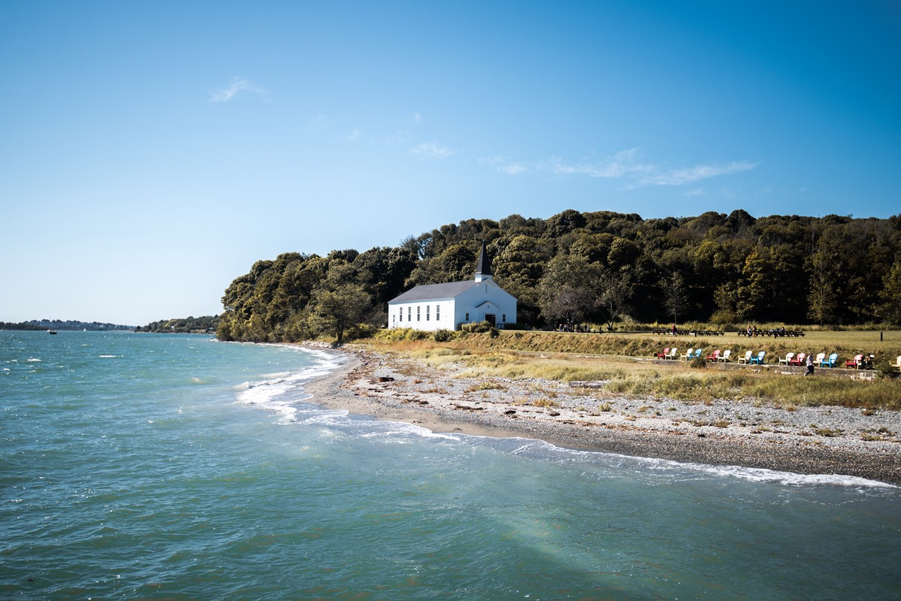
Credit: Arlan Fonseca This large island features military ruins, varied habitats, scenic hiking trails, and overnight camping. At 184 acres, Peddocks Island is one of the largest, most diverse islands in the harbor. With the longest shoreline of any harbor island, Peddocks is composed of four headlands connected by sand or gravel bars called tombolos. Total acreage at low tide is 288. Peddocks features a new pier and hiking trails that pass a marsh, a pond, and coastal forests. These varied environments allow visitors to experience a wide range of natural beauty. Since the mid-1990s renewable energy has been highlighted with photovoltaic installations on the island. General InformationThis island of Boston Harbor Islands national park area is managed by Massachusetts Department of Conservation and Recreation (DCR). For more information on public access to the island, please visit our partnership website page for Peddocks Island. Visitor Facilities & Services
On-Island Circulation: A network of asphalt roads circulate through Fort Andrews on East Head including an 800-foot road from pier to Fort Andrews; 4,150-foot loop road through Fort Andrews; and a 2,000-foot road along Officer's Row. An 2650-foot asphalt road and unimproved path extends between the pier and Middle Head. A 2,600-foot path crosses Middle Head with two sections of paths extending 5,800 feet around the cottages. A rough 3,100-foot path extends from the Middle Head cottages to West Head. A path traverses West Head to the wetland at the western end. Visitor Cautions: MOST BUILDINGS ARE CLOSED TO THE PUBLIC: Those associated with Fort Andrews and vacant cottages are not open to the public due to unsafe floors and ongoing construction. Other cottages are private residences. There is an abundance of poison ivy. Short HistoryPrior to Euro-American colonization, Indigenous Peoples inhabited the island seasonally. Settlers then began occupying the land around 1634. Due to its proximity to the mainland, Peddocks held a prominent military role for the following centuries. Said to be the site of a patriot infantrymen's raid on a Loyalist farm, Peddocks also saw over 600 patriot militiamen stationed on the island in 1776 to guard the harbor against the return of British troops. Home to Fort Andrews and active in harbor defense from 1904 to the end of World War II, 26 structures remain, including guardhouses, prisoner-of-war barracks, stables, a gymnasium, and a firehouse. Natural History OverviewVegetationA vegetation inventory done in 1981 is contained within the Peddocks Island Building Study. Predominant species include Norway Maple, Apple, Beach plum, Birch, Meadow, Oak, Pine, Poplars, Sumac, Wild roses and poison ivy. WildlifePlease see Animals page for more information. Water FeaturesConstructed water features include cisterns, wells, and Fort Andrews reservoir. Fresh water marsh on southern end of island, between West and Prince Heads. Views and VistasBoston Light, Downtown Boston, Hull, and surrounding islands. Structures
*Indicates that the building was removed in 2011. Remaining numbered buildings (excluding Building 31) have been stabilized as of 2011.
|
Last updated: November 30, 2023
