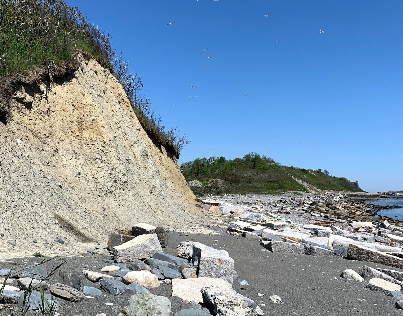
NPS Photo/R. Vincent This largest of the Brewster islands features eroding cliffs, a salt marsh, tidal pools, and a large gull colony. Great Brewster Island is the largest island in Boston's outer harbor at 19 acres of upland and 49 acres of intertidal area. It offers spectacular views of Boston's inner harbor, Massachusetts Bay, and Boston Lighthouse, America's oldest light station. In fact, from Great Brewster's 100 feet high bluffs, one can see four lighthouses. While walking the island's trails, a visitor will see a salt marsh, gull breeding grounds and nurseries, the remains of a military bunker and observation post, and the stone wall foundations of summer cottages. Along the shoreline one can investigate tidal pools and, on most days, one can see lobster boats working their traps and several private boats fishing the many rock outcroppings that ring Great Brewster and the other outer islands. There is no dock at Great Brewster Island. General InformationThis island of Boston Harbor Islands National and State Park is managed by Massachusetts Department of Conservation & Recreation (DCR). Visitor Facilities & Services
Short HistoryGreat Brewster Island was named for Elder William Brewster, the first preacher and teacher for the Plymouth Colony. Thousands of years before the English settlers named the island, Indigenous people used it as a summer residence and used its natural resources. In more recent times, the island has been home to summer cottages for local families and for U.S. soldiers who manned an observation post during World War II. The military post included 90mm rapid-fire guns, searchlight stations, and a command post that aided in controlling the harbor's minefield. Natural History OverviewVegetationApple trees, pear trees, sumac, beach roses, grasses, and phragmites can be found on the island. WildlifePlease see Animals page for more information. GeologyThe northern drumlin is the highest point in the outer harbor, rising to an elevation of 105 feet. Between this drumlin and the smaller drumlin to the south is a marsh area that is seasonally inundated at high tide. A sandspit, exposed at low tide, extends for nearly a mile from the southwest side of the island towards Georges Island. Mussel beds surround the island and connect Little Brewster at low tide. Water FeaturesFurther research required to determine whether the circa 1720s well or 1940s military water supply facilities remain. Views and VistasThe northern bluff offers spectacular views of the outer harbor and Boston skyline. Structures
|
Last updated: November 30, 2023
