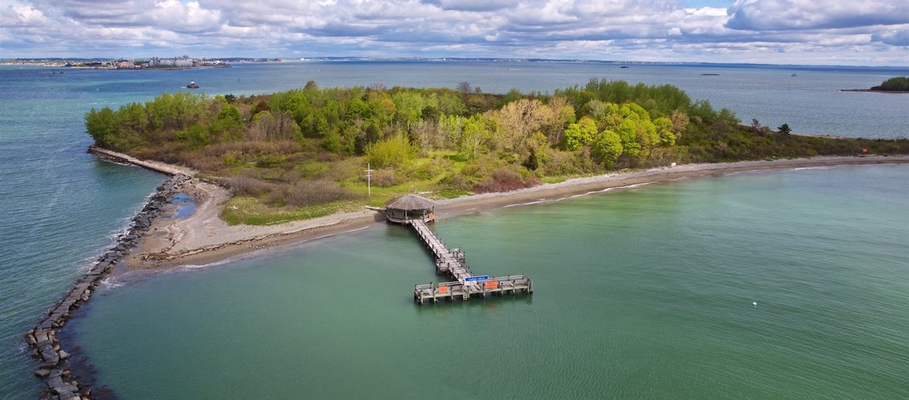
Boston Harbor Now This small island offers a rocky beach, salt spray roses, and vistas from atop grassy bluffs. From housing a restaurant and inn to a military camp and radio school, Gallops Island holds a varied history. General InformationThis island of Boston Harbor Islands National and State Park area is managed by Massachusetts Department of Conservation & Recreation (DCR). Visitor Facilities & Services
Short HistoryPrior to European settler colonization, Indigenous peoples accessed the island. Located in the center of the harbor, the island served as home to one of the region's first harbor pilots (including John Gallop), as a restaurant and inn, a military camp, quarantine station, and radio school. During the Civil War, this small island housed 3,000 Union soldiers. During World War II a radio school housed 325 people and a school for bakers and cooks accommodated 150 people. Natural History OverviewVegetationThis island contains a notable collection of ornamental trees, shrubs and herbaceous plants that harken back to its use as a quarantine station and radio school. Dr. Sweeny is attributed with installing 2,500 plants in 1927 with additional trees installed by the Civilian Conservation Corps in the 1930s. No doubt many plants were removed to accommodate the radio school buildings, but others may have been added. Historical photographs from the 1940s show the tree lined "Main Street" that extended the length of the island. Though the structures are gone, the pathways and foundations are still lined with privet hedges and punctuated with fruit, shade and coniferous trees, stands of lilacs, mock orange, snowberry, and forsythia. These cultivated plants compete with encroaching self-sown sumac, poplar, poison ivy, and bayberry. Most ornamental shrubs bloom in the spring when the island is difficult to access. Fruit trees, including apple and peach, have been severely damaged in the past few years by an overpopulation of rabbits. WildlifePlease see Animals page for more information. GeologyThe island is composed of one large drumlin, rising to 79 feet on its north side and overlooking "The Narrows", a main shipping channel into Boston. The eastern end of the drumlin was removed during the early 1800s. A granite block seawall bounds the north and west sides of the island while the south and east sides offer a fine gravel beach. Water FeaturesFurther study required. Views and VistasFrom the top of the drumlin, the island offers excellent views of downtown Boston, Deer, Long, Nixes Mate, Lovells, and the Brewsters. From the south side of the island, Rainsford, Peddocks, and Long Islands are visible in the distance. Structures
|
Last updated: November 30, 2023
