Last updated: July 17, 2024
Article
NPS Geodiversity Atlas—Tumacacori National Historical Park, Arizona
Geodiversity refers to the full variety of natural geologic (rocks, minerals, sediments, fossils, landforms, and physical processes) and soil resources and processes that occur in the park. A product of the Geologic Resources Inventory, the NPS Geodiversity Atlas delivers information in support of education, Geoconservation, and integrated management of living (biotic) and non-living (abiotic) components of the ecosystem.

Introduction
Tumacácori National Historical Park (TUMA) is located 29 km (18 mi) north of the U.S.–Mexico border and 69 km (43 mi) south of Tucson in Santa Cruz County, Arizona. Originally proclaimed as a national monument on September 15, 1908, the park unit was redesignated on August 6, 1990. Encompassing approximately 145 hectares (360 acres), TUMA protects the ruins of the Jesuit and Franciscan missions of San José de Tumacácori (Tumacácori), San Cayetano de Calabazas (Calabazas), and Los Santos Ángeles de Guevavi (Guevavi). These three 18th and 19th century missions contain some of the best remaining examples of Spanish Mission period architectural styles and serve as an interpretive window into the rich and complex blending of cultures within the Santa Cruz River Valley from the 17th century to today (National Park Service 2016a). TUMA is the only NPS unit displaying an entire, original institutionalized Spanish mission landscape, and preserves a record of the social and political hierarchy that was emplaced on the existing Native American communities (National Park Service 2014b).
Geologic Setting
Tumacácori National Historical Park lies within the Basin and Range physiographic province, a region characterized by fault-bounded structural basins (grabens) separating uplifted mountain ranges (horsts). The horst and graben landscape of the Basin and Range province began developing during the Miocene Epoch approximately 12–5 Ma due to regionally extensive tectonic forces that stretched the continental crust (Bezy 2005; Graham 2011c). The oldest rocks underlying TUMA are Jurassic-age granitic rocks that form Mount Benedict and the southern border of the Guevavi Mission Unit. The bedrock geology of the Calabazas Mission Unit is composed entirely of sandstone, conglomerate, and volcanic tuff of the Cretaceous Salero Formation. Rocks of Quaternary age are mapped in all three units of TUMA and consist of Holocene river channel, floodplain, and terrace deposits, as well as unconsolidated alluvium.
Regional Geology
Tumacacori National Historical Park is a part of the Basin and Range Physiographic Province and shares its geologic history and some characteristic geologic formations with a region that extends well beyond park boundaries.
- Scoping summaries are records of scoping meetings where NPS staff and local geologists determined the park’s geologic mapping plan and what content should be included in the report.
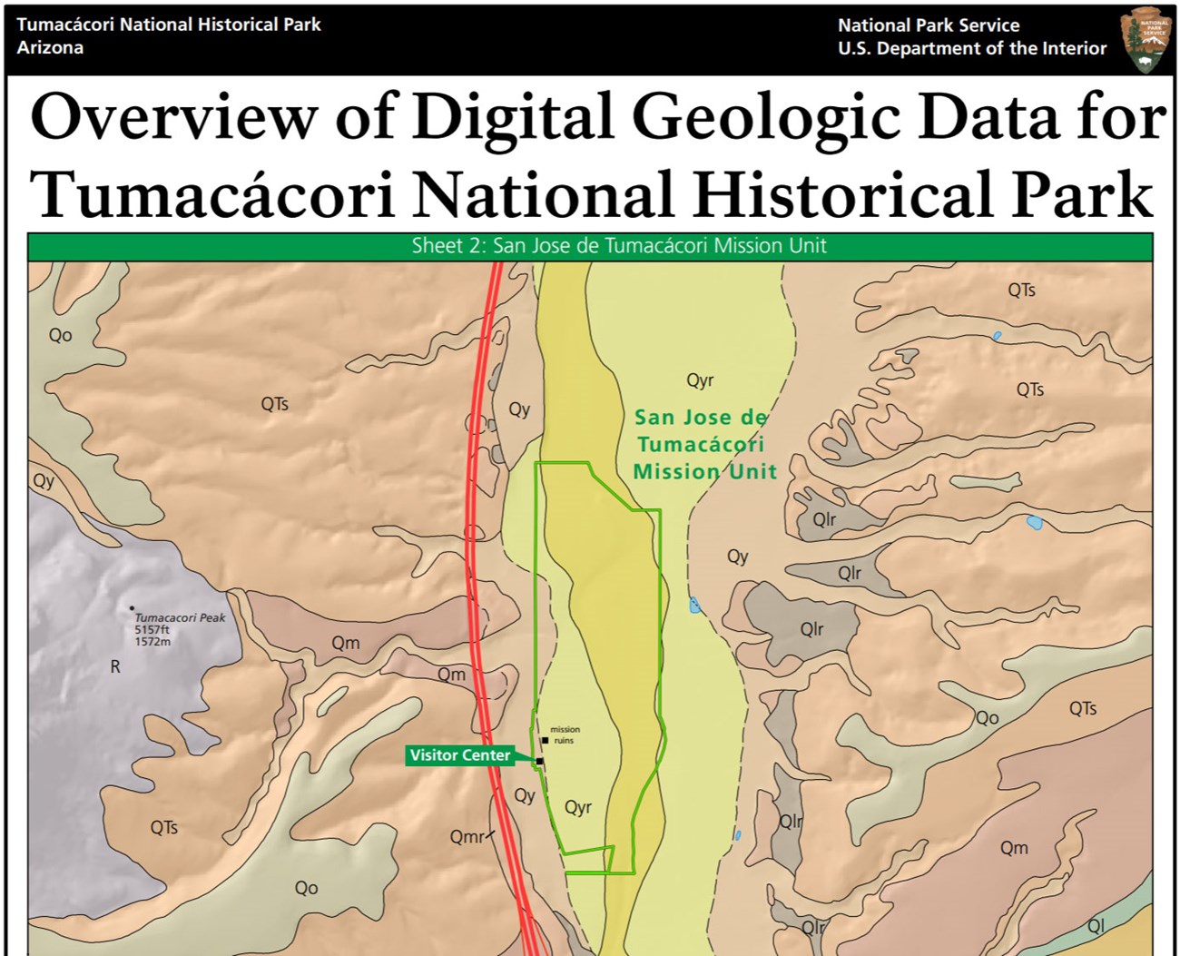
- Digital geologic maps include files for viewing in GIS software, a guide to using the data, and a document with ancillary map information. Newer products also include data viewable in Google Earth and online map services.
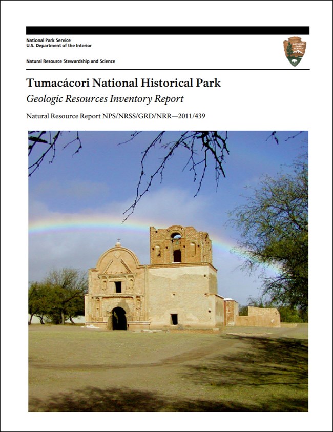
- Reports use the maps to discuss the park’s setting and significance, notable geologic features and processes, geologic resource management issues, and geologic history.
- Posters are a static view of the GIS data in PDF format. Newer posters include aerial imagery or shaded relief and other park information. They are also included with the reports.
- Projects list basic information about the program and all products available for a park.
Source: NPS DataStore Saved Search 3184. To search for additional information, visit the NPS DataStore.
A NPS Soil Resources Inventory project has been completed for Tumacacori National Historical Park and can be found on the NPS Data Store.
Source: NPS DataStore Saved Search 3135. To search for additional information, visit the NPS DataStore.
Related Articles
Tumacacori National Historical Park
National Park Service Geodiversity Atlas
The servicewide Geodiversity Atlas provides information on geoheritage and geodiversity resources and values within the National Park System. This information supports science-based geoconservation and interpretation in the NPS, as well as STEM education in schools, museums, and field camps. The NPS Geologic Resources Division and many parks work with National and International geoconservation communities to ensure that NPS abiotic resources are managed using the highest standards and best practices available.


