Last updated: July 17, 2024
Article
NPS Geodiversity Atlas—Tonto National Monument, Arizona
Geodiversity refers to the full variety of natural geologic (rocks, minerals, sediments, fossils, landforms, and physical processes) and soil resources and processes that occur in the park. A product of the Geologic Resources Inventory, the NPS Geodiversity Atlas delivers information in support of education, Geoconservation, and integrated management of living (biotic) and non-living (abiotic) components of the ecosystem.

Introduction
The geology of the monument played an essential role in the lives of the ancestral people who inhabited the area from around 1150 CE to 1450 CE. In the 1930s, archeologists working in the valley of the Salt River (“Rio Salado”) applied the name “Salado” to this culture of people and associated artifacts. Geologic resources provided the raw materials from which people of the Salado culture shaped tools for everyday living and built structures. In addition, geologic processes created caves in which the Salado people found shelter and built dwellings. Moreover, groundwater springs served as a source of water, and major surface-water streams were vital to prehistoric farming.
The most ancient rocks within the basin are many orders of magnitude older than the human history and reach back more than 1.6 billion years making them older than many rocks in the base of the Grand Canyon. Most of the rocks in the park are a bit younger, between 1.0 and 1.6 billion years old. The park is in a transition zone between the Colorado Plateau and the Basin and Range. The transition zone has the most extensive display of Arizona’s oldest rocks, which give the region its bold character. At nearly 8,000 ft above sea level, Mazatzal Peak represents the maximum elevation of these ancient rocks in Arizona's transition zone. These ancient rocks house the caves and associated cliff dwellings at the monument.
Geologic Features and Processes
Features visible within the park include the following:
-
Proterozoic Rocks
-
Unconformities
-
Conglomerates
-
Basin Fill
-
Pleistocene Deposits
-
Caves and Cliff Dwellings (including a reassignment of the Lower Cliff Dwelling to the Mescal Limestone!)
-
Holocene Deposits
-
Springs and Groundwater Resources
-
Geothermal Resources
-
Lithic Resources
Geoconservation
The Monument's geologic features and processes also come with a suite of resource management issues faced by park staff:
- Fire and Slope Movements
- Flash Floods
- Aircraft-Induced Vibration
- Rockfall Hazard
- Seismicity
- Active Faults and Earthquakes
- Cave Resource Management
- Paleontological Resource Inventory, Monitoring, and Protection
- Climate Change
Learn more about NPS programs for geologic resource management on these websites: [Geoconservation Programs] [Geohazards] [Fossil Stewardship] [Cave Resources Stewardship]
Regional Geology
Tonto National Monument is a part of the Southern Basin and Range Physiographic Province and shares its geologic history and some characteristic geologic formations with a region that extends well beyond park boundaries.
- Scoping summaries are records of scoping meetings where NPS staff and local geologists determined the park’s geologic mapping plan and what content should be included in the report.
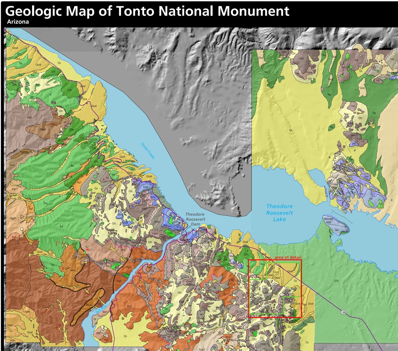
- Digital geologic maps include files for viewing in GIS software, a guide to using the data, and a document with ancillary map information. Newer products also include data viewable in Google Earth and online map services.
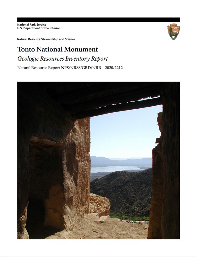
- Reports use the maps to discuss the park’s setting and significance, notable geologic features and processes, geologic resource management issues, and geologic history.
- Posters are a static view of the GIS data in PDF format. Newer posters include aerial imagery or shaded relief and other park information. They are also included with the reports.
- Projects list basic information about the program and all products available for a park.
Source: NPS DataStore Saved Search 3183. To search for additional information, visit the NPS DataStore.
A NPS Soil Resources Inventory project has been completed for Tonto National Monument and can be found on the NPS Data Store.
Source: NPS DataStore Saved Search 3134. To search for additional information, visit the NPS DataStore.
GRI Geology Image Gallery
Related Articles
Tonto National Monument
National Park Service Geodiversity Atlas
The servicewide Geodiversity Atlas provides information on geoheritage and geodiversity resources and values within the National Park System. This information supports science-based geoconservation and interpretation in the NPS, as well as STEM education in schools, museums, and field camps. The NPS Geologic Resources Division and many parks work with National and International geoconservation communities to ensure that NPS abiotic resources are managed using the highest standards and best practices available.


