Last updated: July 17, 2024
Article
NPS Geodiversity Atlas—Thomas Stone National Historic Site, Maryland
Geodiversity refers to the full variety of natural geologic (rocks, minerals, sediments, fossils, landforms, and physical processes) and soil resources and processes that occur in the park. A product of the Geologic Resources Inventory, the NPS Geodiversity Atlas delivers information in support of education, Geoconservation, and integrated management of living (biotic) and non-living (abiotic) components of the ecosystem.

Introduction
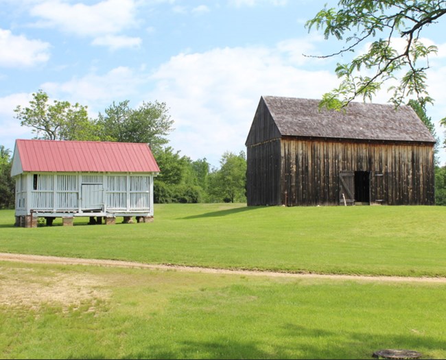
Thomas Stone National Historic Site (THST) is situated in the Atlantic Coastal Plain physiographic province on the eastern side of the Potomac River Valley in Charles County, Maryland. The historic site commemorates Thomas Stone, a signer of the Declaration of Independence and early Maryland state senator. Established on November 10, 1978, THST preserves approximately 132 hectares (328 acres) of protected pastoral fields, forest, outbuildings, Stone’s home, and the Stone family cemetery (Anderson 2017). Built in 1771, Stone’s home is a unique, five-part Georgianstyle mansion nicknamed “Haberdeventure” that was restored after a 1977 fire (Thornberry-Ehrlich 2009). Visitors to THST are encouraged to explore the historic estate through several walking trails.
Geologic Setting
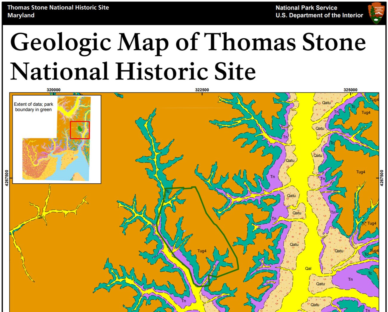
The geology of Thomas Stone National Historic Site generally consists of flat-lying and undeformed units with subtle topographic variations resulting from erosion and river downcutting through the horizontal layers. The oldest geologic exposures at the historic site can be seen along Hoghole Run and are represented by sand, silt, and clay of the Eocene Nanjemoy Formation and Miocene Calvert Formation. A large portion of the Stone estate is positioned on a broad upland between Hoghole Run and the upper Port Tobacco River and consists of younger Pliocene upland gravels (Thornberry-Ehrlich 2009). The youngest deposits at THST include alluvial deposits (unconsolidated sand, gravel, silt, clay), marsh deposits along larger stream bottoms, shelly sands, and artificial fill from human activity.
Regional Geology
Thomas Stone National Historis Site is a part of the Embayed Section of the Coastal Plain Physiographic Province and shares its geologic history and some characteristic geologic formations with a region that extends well beyond park boundaries.
- Scoping summaries are records of scoping meetings where NPS staff and local geologists determined the park’s geologic mapping plan and what content should be included in the report.
- Digital geologic maps include files for viewing in GIS software, a guide to using the data, and a document with ancillary map information. Newer products also include data viewable in Google Earth and online map services.
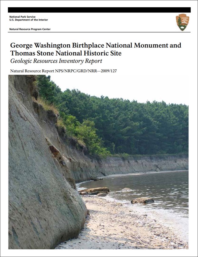
- Reports use the maps to discuss the park’s setting and significance, notable geologic features and processes, geologic resource management issues, and geologic history.
- Posters are a static view of the GIS data in PDF format. Newer posters include aerial imagery or shaded relief and other park information. They are also included with the reports.
- Projects list basic information about the program and all products available for a park.
Source: NPS DataStore Saved Search 3180. To search for additional information, visit the NPS DataStore.
A NPS Soil Resources Inventory project has been completed for Thomas Stone National Historic Site and can be found on the NPS Data Store.
Source: NPS DataStore Saved Search 3131. To search for additional information, visit the NPS DataStore.
Related Articles
Thomas Stone National Historic Site
National Park Service Geodiversity Atlas
The servicewide Geodiversity Atlas provides information on geoheritage and geodiversity resources and values within the National Park System. This information supports science-based geoconservation and interpretation in the NPS, as well as STEM education in schools, museums, and field camps. The NPS Geologic Resources Division and many parks work with National and International geoconservation communities to ensure that NPS abiotic resources are managed using the highest standards and best practices available.


