Last updated: July 16, 2024
Article
NPS Geodiversity Atlas—Shiloh National Military Park, Tennessee and Mississippi
Geodiversity refers to the full variety of natural geologic (rocks, minerals, sediments, fossils, landforms, and physical processes) and soil resources and processes that occur in the park. A product of the Geologic Resources Inventory, the NPS Geodiversity Atlas delivers information in support of education, Geoconservation, and integrated management of living (biotic) and non-living (abiotic) components of the ecosystem.

Introduction
Shiloh National Military Park (SHIL) encompasses the Shiloh Battlefield on the west bank of the Tennessee River in Hardin County, Tennessee, and the Corinth Unit located in Corinth County, Mississippi. Established on December 27, 1894, SHIL contains about 2,719 hectares (6,720 acres) and preserves the battlefields, sites, and resources associated with Shiloh and Corinth during the Western Campaign of the Civil War (National Park Service 2016a). The Battle of Shiloh took place in April 1862 and represents a major battle to control western Confederate railroads and the Mississippi River Valley that ended in a decisive Union victory. An attempt by Confederate troops to drive Union forces from their fortified defenses at Corinth six months later in October 1862 resulted in another Confederate defeat at the Battle of Corinth, the last major Confederate offensive in the state of Mississippi. The Corinth Unit of SHIL protects the few surviving examples of early earthen fortifications that foreshadowed the complex trench warfare that would define the final desperate year of the Civil War (National Park Service 2016e).
Geologic Setting
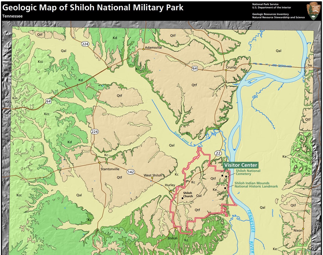
The geology of Shiloh National Military Park reflects a long history of deposition and the evolution of the Tennessee River valley that records several sea level fluctuations. The bedrock of SHIL consists entirely of Cretaceous-age sedimentary rocks originally deposited in nearshore environments along the upland margins of western Tennessee. The oldest unit mapped in SHIL consists of marine sands and clays of the Eutaw Formation, overlain by lagoonal, barrier bar, and shoreline sands and clays of the Coffee Formation (Thornberry-Ehrlich 2018). Ancient precursors to the modern Tennessee River reworked these Cretaceous-age deposits, carving river channels and depositing thick fluvial sequences of gravel, sand, silt, and clay. Many of these Quaternary-age fluvial deposits were left as perched, dissected terraces and include “Shiloh Hill”. The youngest units mapped in SHIL include unconsolidated Quaternary-age alluvium located along the Tennessee River and adjacent floodplains.
Regional Geology
Shiloh National Military Park is a part of the Coastal Plain Physiographic Province and shares its geologic history and some characteristic geologic formations with a region that extends well beyond park boundaries.
- Scoping summaries are records of scoping meetings where NPS staff and local geologists determined the park’s geologic mapping plan and what content should be included in the report.
- Digital geologic maps include files for viewing in GIS software, a guide to using the data, and a document with ancillary map information. Newer products also include data viewable in Google Earth and online map services.
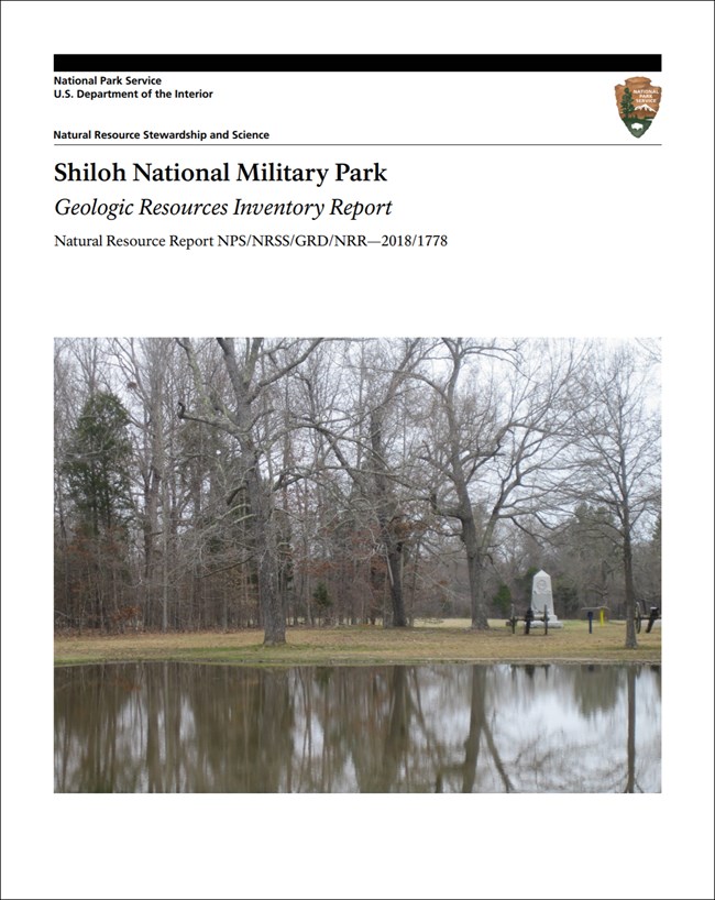
- Reports use the maps to discuss the park’s setting and significance, notable geologic features and processes, geologic resource management issues, and geologic history.
- Posters are a static view of the GIS data in PDF format. Newer posters include aerial imagery or shaded relief and other park information. They are also included with the reports.
- Projects list basic information about the program and all products available for a park.
Source: NPS DataStore Saved Search 3173. To search for additional information, visit the NPS DataStore.
A NPS Soil Resources Inventory project has been completed for Shiloh National Military Park and can be found on the NPS Data Store.
Source: NPS DataStore Saved Search 3124. To search for additional information, visit the NPS DataStore.
GRI Geology Image Gallery

Related Links
Related Articles
Shiloh National Military Park
National Park Service Geodiversity Atlas
The servicewide Geodiversity Atlas provides information on geoheritage and geodiversity resources and values within the National Park System. This information supports science-based geoconservation and interpretation in the NPS, as well as STEM education in schools, museums, and field camps. The NPS Geologic Resources Division and many parks work with National and International geoconservation communities to ensure that NPS abiotic resources are managed using the highest standards and best practices available.

