Last updated: July 16, 2024
Article
NPS Geodiversity Atlas—Sequoia and Kings Canyon National Parks, California
Geodiversity refers to the full variety of natural geologic (rocks, minerals, sediments, fossils, landforms, and physical processes) and soil resources and processes that occur in the park. A product of the Geologic Resources Inventory, the NPS Geodiversity Atlas delivers information in support of education, Geoconservation, and integrated management of living (biotic) and non-living (abiotic) components of the ecosystem.

Introduction
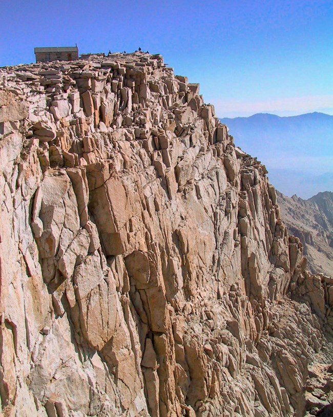
Sequoia and Kings Canyon National Parks (SEKI) are contiguous park units in the southern Sierra Nevada in Tulare and Fresno counties, California. Both parks were established in 1890. They encompass a combined area of 350,443 hectares (865,964 acres) with landscapes decorated with huge mountains, rugged foothills, deep canyons, vast caverns, and the world’s largest trees (Anderson 2017). Weather varies greatly by season and elevation in SEKI, which ranges from 418 m (1,370 ft) in the foothills to 4,418 m (14,494 ft) at the summit of Mt. Whitney, the tallest mountain in the contiguous United States. Eleven additional peaks higher than 4,270 m (14,000 ft) are also found in SEKI, forming the crest of the Sierra Nevada along the eastern boundary of the parks. SEKI was designated a Biosphere Reserve in 1978.
Geologic Setting
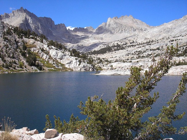
The geology of Sequoia and Kings Canyon National Parks dominantly consists of Mesozoic igneous rocks associated with the formation of the Sierra Nevada. Numerous geologic units situated within the parks record a complex, episodic emplacement of molten rock that represent the Mount Whitney, John Muir, Mitchell, Sequoia, Shaver, Fine Gold, Palisade Crest, and Scheelite Intrusive Suites. Isolated areas of SEKI contain older metamorphic rocks that are remnants of volcanic islands tectonically added to North America before the Sierra Nevada uplift. These metamorphic units include metavolcanic rocks, schist, quartzite, phyllite, and marble. Surprisingly, the marble rocks in the parks host more than 270 caves and include the longest cave in California (Lilburn Cave) with nearly 27 km (17 mi) of surveyed passageway. Paleozoic metasedimentary units that occur within SEKI consist of the Cambrian Campito and Poleta formations, as well as the Permian Keeler Canyon, Lone Pine, and Conglomerate Mesa formations. Younger Cenozoic deposits include rhyolites and olivine basalts, in addition to glacial till deposits from Pleistocene glaciers responsible for carving out deep, spectacular canyons that include Kings Canyon.
Regional Geology
Sequoia and Kings Canyon are part of the Cascade-Sierra Mountains Physiographic Province and they share a geologic history and some characteristic geologic formations with a region that extends well beyond park boundaries.
- Scoping summaries are records of scoping meetings where NPS staff and local geologists determined the park’s geologic mapping plan and what content should be included in the report.
- Digital geologic maps include files for viewing in GIS software, a guide to using the data, and a document with ancillary map information. Newer products also include data viewable in Google Earth and online map services.
- Reports use the maps to discuss the park’s setting and significance, notable geologic features and processes, geologic resource management issues, and geologic history.
- Posters are a static view of the GIS data in PDF format. Newer posters include aerial imagery or shaded relief and other park information. They are also included with the reports.
- Projects list basic information about the program and all products available for a park.
Source: NPS DataStore Saved Search 3171. To search for additional information, visit the NPS DataStore.
A NPS Soil Resources Inventory project has been completed for Sequoia and Kings Canyon National Parks and can be found on the NPS Data Store.
Source: NPS DataStore Saved Search 3122. To search for additional information, visit the NPS DataStore.

Photo by Bob Meadows.
Related Links
Related Articles
Sequoia and Kings Canyon National Parks
National Park Service Geodiversity Atlas
The servicewide Geodiversity Atlas provides information on geoheritage and geodiversity resources and values within the National Park System. This information supports science-based geoconservation and interpretation in the NPS, as well as STEM education in schools, museums, and field camps. The NPS Geologic Resources Division and many parks work with National and International geoconservation communities to ensure that NPS abiotic resources are managed using the highest standards and best practices available.
