Last updated: July 16, 2024
Article
NPS Geodiversity Atlas—Scotts Bluff National Monument, Nebraska
Geodiversity refers to the full variety of natural geologic (rocks, minerals, sediments, fossils, landforms, and physical processes) and soil resources and processes that occur in the park. A product of the Geologic Resources Inventory, the NPS Geodiversity Atlas delivers information in support of education, Geoconservation, and integrated management of living (biotic) and non-living (abiotic) components of the ecosystem.

Introduction
Scotts Bluff National Monument (SCBL) is located in the panhandle of Nebraska just west of the cities of Scottsbluff, Terrytown, and Gering in Scotts Bluff County. Proclaimed on December 12, 1919, SCBL encompasses about 1,216 hectares (3,005 acres) and preserves the massive Scotts Bluff promontory as well as historic emigrant trail corridors associated with the Oregon and California Trails (National Park Service 2016a). The predominant feature of SCBL is Scotts Bluff, a stunning geologic landmark that rises 244 m (800 ft) above the surrounding landscape. Named after fur trader Hiram Scott, Scotts Bluff represented a notable waypoint for emigrant travelers and is a site of cultural significance to Native Americans (National Park Service 2015). Both the Old Oregon Trail and Oregon National Historic Trail traverse SCBL through Mitchell Pass in the southern portion of the monument between Sentinel Rock and Eagle Rock.
Geologic Setting
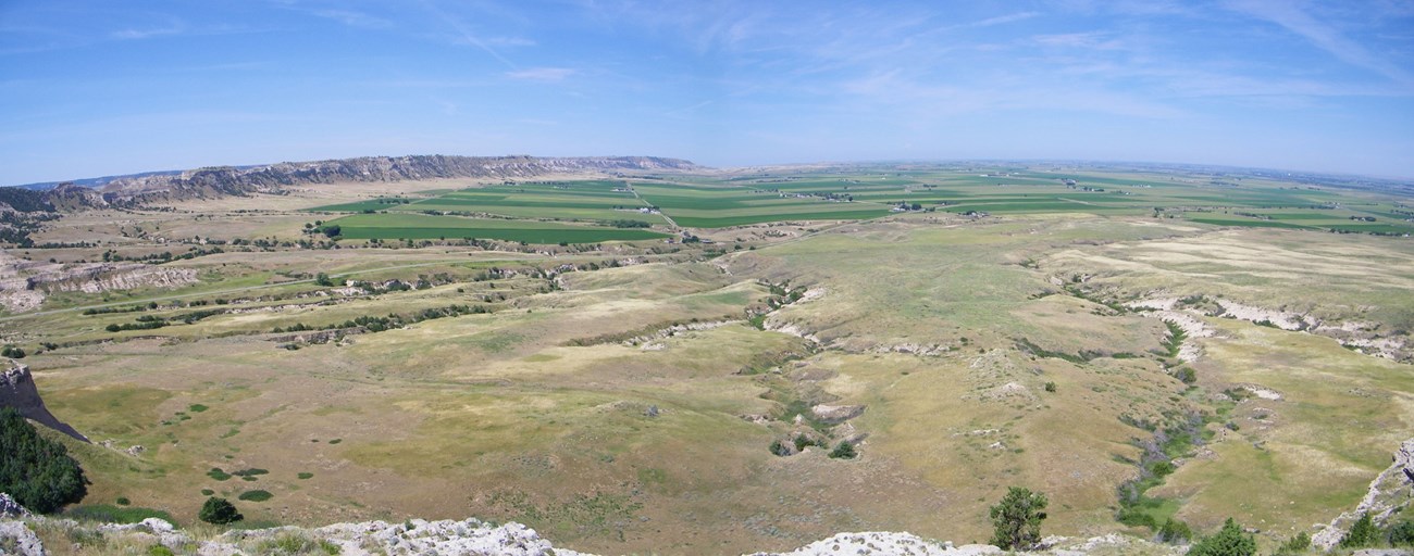
Situated in the Great Plains physiographic province of western Nebraska, the landscape of Scotts Bluff National Monument features badlands, ridges, broad alluvial fans, and the prominent steep-sided cliffs of Scotts Bluff and South Bluff. Exposed sedimentary and igneous strata at Scotts Bluff date back to the Oligocene Epoch and reveal more geologic history than any location in the state of Nebraska (Graham 2009c). The vertical succession of rocks at Scotts Bluff and South Bluff includes formations associated with the Oligocene White River Group (Brule Formation) and Oligocene–Miocene Arikaree Group (Gering Formation, Monroe Creek Formation, and Harrison Formation). Dissected badlands located in the northeastern area of the monument are composed of mudstone, siltstone, sandstone, and volcanic tuffs of the Brule Formation, the same unit that forms part of the iconic badlands-style topography of BADL. Quaternary surficial deposits such as sand dunes, rockfalls, loess, alluvium, and colluvium are widely distributed across SCBL.
Paleontological Resources
All NPS fossil resources are protected under the Paleontological Resources Preservation Act of 2009 (Public Law 111-11, Title VI, Subtitle D; 16 U.S.C. §§ 470aaa - 470aaa-11).
Regional Geology
Scotts Bluff is a part of the Great Plains Province and shares its geologic history and some characteristic geologic formations with a region that extends well beyond park boundaries.
- Scoping summaries are records of scoping meetings where NPS staff and local geologists determined the park’s geologic mapping plan and what content should be included in the report.
- Digital geologic maps include files for viewing in GIS software, a guide to using the data, and a document with ancillary map information. Newer products also include data viewable in Google Earth and online map services.
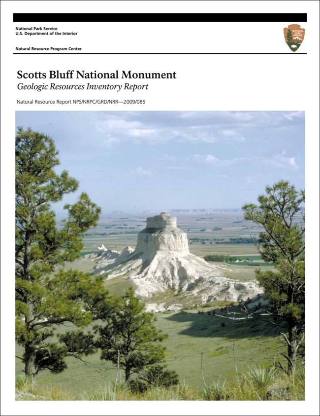
- Reports use the maps to discuss the park’s setting and significance, notable geologic features and processes, geologic resource management issues, and geologic history.
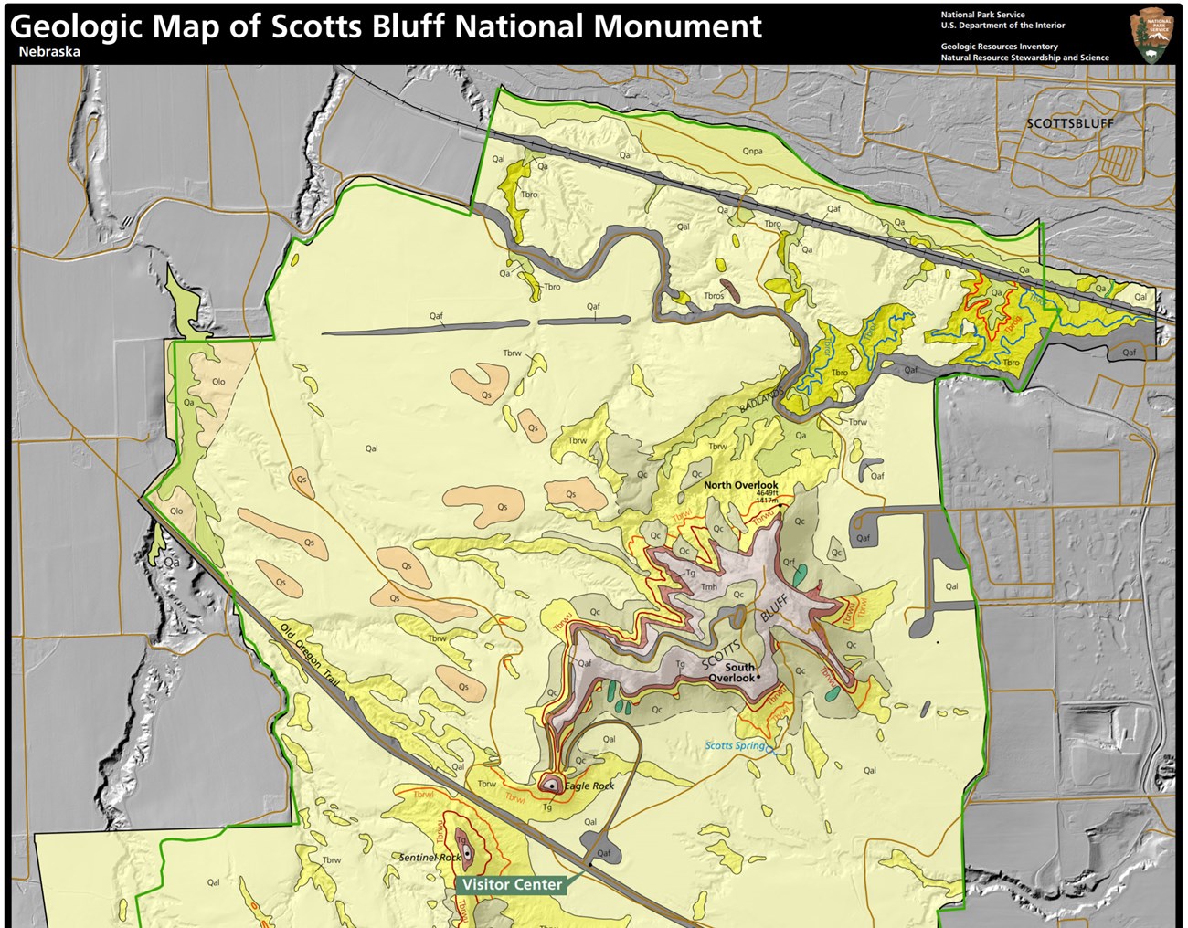
- Posters are a static view of the GIS data in PDF format. Newer posters include aerial imagery or shaded relief and other park information. They are also included with the reports.
- Projects list basic information about the program and all products available for a park.
Source: NPS DataStore Saved Search 3170. To search for additional information, visit the NPS DataStore.
A NPS Soil Resources Inventory project has been completed for Scotts Bluff National Monument and can be found on the NPS Data Store.
Source: NPS DataStore Saved Search 3121. To search for additional information, visit the NPS DataStore.

Related Links
Related Articles
Scotts Bluff National Monument
National Park Service Geodiversity Atlas
The servicewide Geodiversity Atlas provides information on geoheritage and geodiversity resources and values within the National Park System. This information supports science-based geoconservation and interpretation in the NPS, as well as STEM education in schools, museums, and field camps. The NPS Geologic Resources Division and many parks work with National and International geoconservation communities to ensure that NPS abiotic resources are managed using the highest standards and best practices available.

