Last updated: July 16, 2024
Article
NPS Geodiversity Atlas—Sand Creek Massacre National Historic Site, Colorado
Geodiversity refers to the full variety of natural geologic (rocks, minerals, sediments, fossils, landforms, and physical processes) and soil resources and processes that occur in the park. A product of the Geologic Resources Inventory, the NPS Geodiversity Atlas delivers information in support of education, Geoconservation, and integrated management of living (biotic) and non-living (abiotic) components of the ecosystem.
Introduction
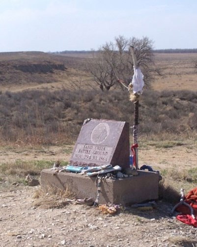
Sand Creek Massacre National Historic Site (NHS) was formally dedicated and became a part of the national park system in 2007. The site’s purpose is to protect the area along Sand Creek where a peaceful village of Cheyenne and Arapaho Indians under the leadership of Chief Black Kettle was attacked in 1864 by approximately 700 members of the 1st and 3rd regiments, Colorado (U.S.) Volunteer Cavalry, under the leadership of Colonel John M. Chivington. Approximately 230 Cheyenne and Arapaho were killed, mostly women, children, elderly, and infirmed. The site is of great significance to descendants of the victims and their respective tribes and for the commemoration of ancestors, and is a reminder of the tragic events that took place during the Indian Wars.
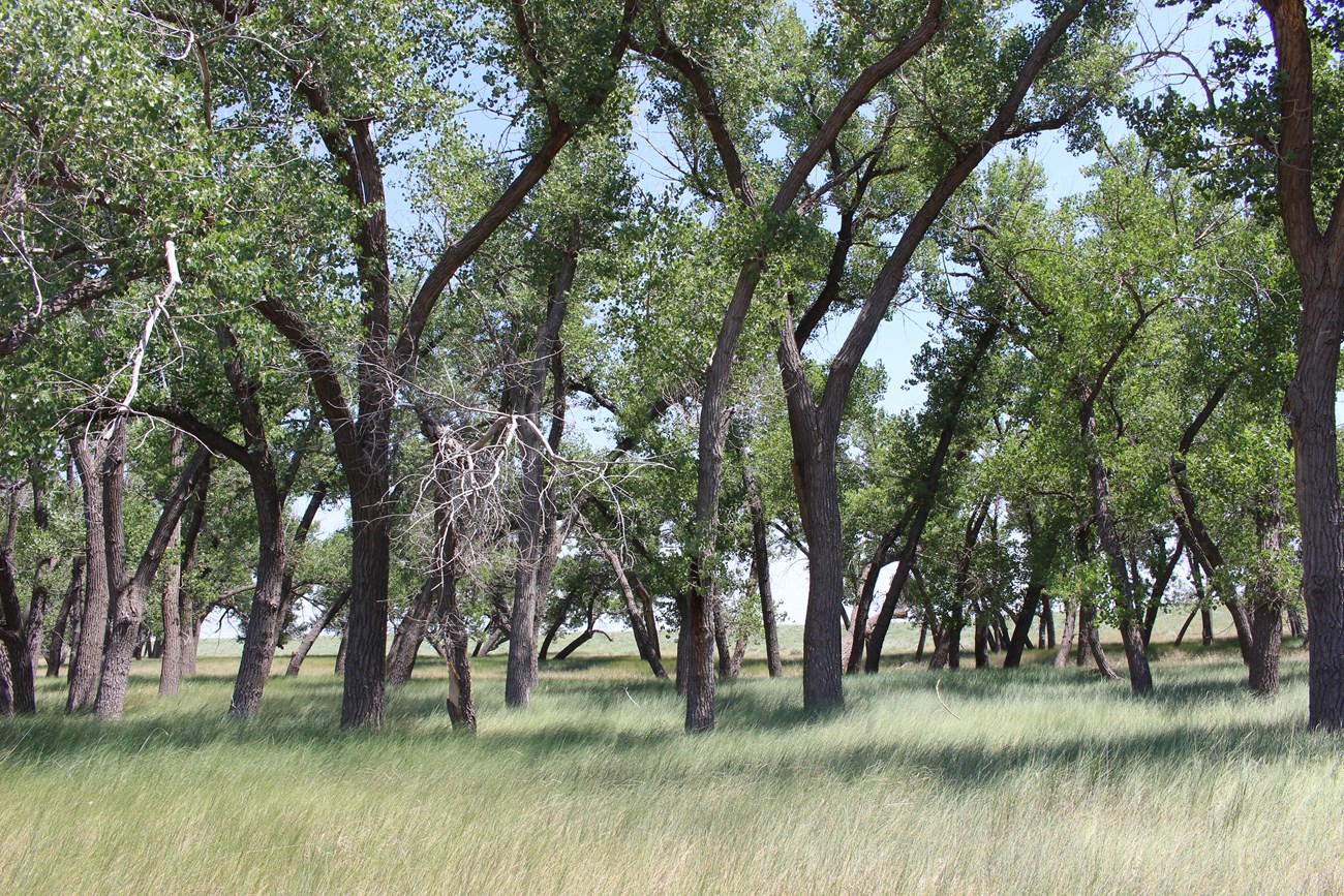
Big Sandy Creek, an intermittent tributary of the Arkansas River, flows diagonally across the historic site, with a reach of approximately 3.25 miles (5.23 km) within the park boundary. The Cheyenne and Arapahoe people were camped along Big Sandy Creek at the time of the attack, and dug holes, or sand pits, into the river bank in a desperate attempt to escape. Period trees, which were present as seedlings during the Sand Creek Massacre, are found today in the riparian area.
Sand Creek Massacre NHS is located on the Colorado Piedmont, part of the Great Plains physiographic province in eastern Colorado. Bedrock exposure is poor in the region, but the area is underlain by the Cretaceous Niobrara Formation. Quaternary alluvium is present along the course of Big Sandy Creek, and widespread eolian deposits are present at the surface in the southern part of the historic site.
NPS photo.
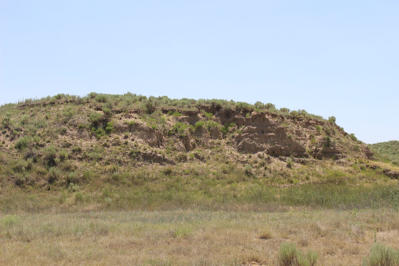
The most prominent topographic feature in the historic site is an approximately 20 ft (6 m) tall bluff southeast of Big Sandy Creek. The bluff overlooks the creek and consists mostly of eolian sand deposits. All but the top 2.5 feet of the bluff are too old to potentially contain cultural material dating to the time of the massacre. Alluvial material that dates to the time of the attack is found in the floodplain.
Geologic Setting & Regional Geology
NPS photo.
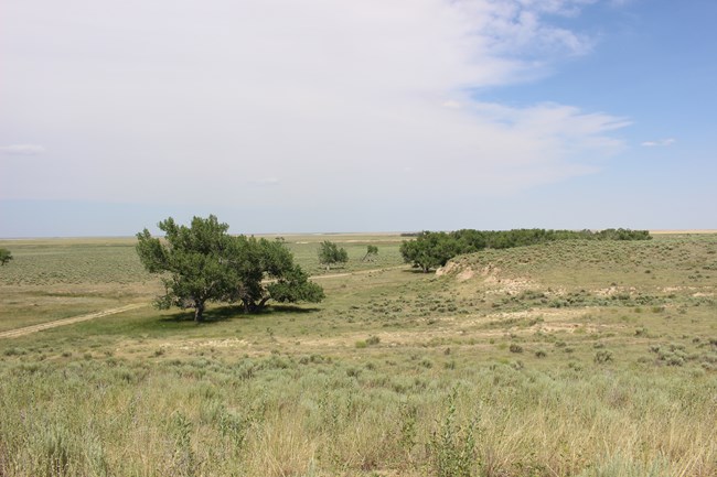
Sand Creek Massacre NHS is in the Colorado Piedmont, an area of rolling hills and valleys located west of the High Plains and east of the Rocky Mountain foothills. The Paleogene sedimentary rocks that underlie the High Plains have been eroded off the Colorado Piedmont and upper Cretaceous rocks are exposed at the surface where not buried by Quaternary deposits. Eolian deposits, both sand and loess, are at the surface in much of the Colorado Piedmont.
The Niobrara Formation consists of two members, Fort Hays Limestone Member and the overlying Smoky Hill Shale Member. The Smoky Hill Shale Member is mapped at the surface in the northern part of the historic site, but is usually concealed by a thin layer of silty clay. The Niobrara Formation was deposited in the Western Interior Seaway between 82 and 81 million years ago. The unit weathers quickly to a distinctive yellowish-gray color which is visible in the soil.
Sand hills formed on eolian deposits are present to the west and south of Big Sandy Creek. These sandy soils are very sensitive to disturbances. Sand sagebrush vegetative communities are found on the eolian deposits, whereas shortgrass prairie ecosystems are more typically found on the loamy soils of the Niobrara Formation.
Big Sandy Creek
NPS photo.
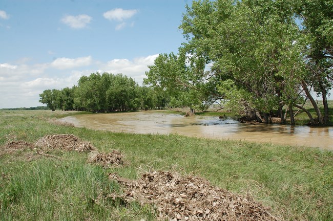
The entire Big Sandy Creek drainage basin is about 2,631 square miles (6,814 square kilometers) in eastern Colorado. The drainage continues predominantly southeast from its headwaters until it joins the Arkansas River approximately 31 miles (50 kilometers) south of the historic site. Big Sandy Creek is an alluvial stream, meaning that its bed and banks are composed of sediment transported by the watercourse. The creek is a meandering alluvial channel underfit in a broad valley. However, due to the infrequency of flow events (every 5 to 10 years), there is little in the way of actual meandering or channel formation at the present time, and few geomorphic features characteristic of meandering streams are present. Because of the lack of regular flow, there are reaches where there is no defined stream channel, and the drainage is essentially a broad grassy swale, and the riparian area is further marked by the presence of cottonwood trees. Three stream terraces are present above the modern floodplain.
The sediments associated with Big Sandy Creek are composed of various size particles ranging from clay to gravel, mostly deposited as alluvium but also with some eolian deposits, especially on the surface. The average thickness of the valley fill is about 23 to 30 feet (7 to 9 m).
NPS photo.
Related Links
Paleontological Resources
Fossils have not been identified within Sand Creek Massacre NHS. The Niobrara Formation contains a wide variety of fossils, mostly of marine vertebrates and invertebrates. Fossils have also not been identified in the eolian or alluvial deposits in the historic site, although there is the potential for fossils, particularly pollen, to be present in both.
All NPS fossil resources are protected under the Paleontological Resources Preservation Act of 2009 (Public Law 111-11, Title VI, Subtitle D; 16 U.S.C. §§ 470aaa - 470aaa-11).
Geohazards
Natural geologic processes continue to occur in and around Sand Creek Massacre NHS on time scales ranging from seconds to years. Visitors should be cautious and alert to geohazards that may be present.
Flooding may present a potential hazard along the Big Sandy Creek, although flooding is rare and is typically a result of intense summer thunderstorms.
Eastern Colorado has a relatively low seismic hazard. The USGS 2014 Seismic Hazard Map indicates that the Sand Creek Massacre area has a 2% chance that an earthquake peak ground acceleration of between 4 and 8 %g (percent of gravity) being exceeded in 50 years due to natural earthquakes. Peak ground acceleration between 4 and 8 %g is roughly equivalent to V on the Modified Mercalli Intensity Scale. The expected number of damaging earthquake shaking in eastern Colorado in 10,000 years is between 2 and 4. A M3.9 earthquake occurred in 2009 east of Eads, approximately 11 miles southwest of the historic site.
Related Links
Regional Geology
Sand Creek Massacre NHS is within the Great Plains physiographic province and it shares its geologic history and some characteristic geologic formations with a region that extends well beyond park boundaries.
A NPS Soil Resources Inventory project has been completed for Sand Creek Massacre National Historic Site and can be found on the NPS Data Store.
Source: NPS DataStore Saved Search 3402. To search for additional information, visit the NPS DataStore.
Related Articles
Sand Creek Massacre National Historic SiteNational Park Service Geodiversity Atlas
The servicewide Geodiversity Atlas provides information on geoheritage and geodiversity resources and values within the National Park System. This information supports science-based geoconservation and interpretation in the NPS, as well as STEM education in schools, museums, and field camps. The NPS Geologic Resources Division and many parks work with National and International geoconservation communities to ensure that NPS abiotic resources are managed using the highest standards and best practices available.

