Last updated: July 15, 2024
Article
NPS Geodiversity Atlas—Pictured Rocks National Lakeshore, Michigan
Geodiversity refers to the full variety of natural geologic (rocks, minerals, sediments, fossils, landforms, and physical processes) and soil resources and processes that occur in the park. A product of the Geologic Resources Inventory, the NPS Geodiversity Atlas delivers information in support of education, Geoconservation, and integrated management of living (biotic) and non-living (abiotic) components of the ecosystem.

Introduction
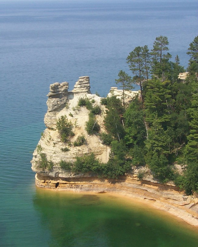
Pictured Rocks National Lakeshore (PIRO) is located along the southeastern shores of Lake Superior in Alger County, Michigan. Established on October 5, 1972, PIRO encompasses approximately 29,637 hectares (73,236 acres) of multicolored sandstone cliffs, long beach strands, sand dunes, waterfalls, inland lakes, wetlands, hardwood and coniferous forests, and a diverse biological community (Anderson 2017). The geologic formations that are the namesake for PIRO form 15–61 m (50–200 ft) tall sandstone cliffs that extend over 24 km (15 mi) of shoreline and have been eroded to form sea caves, arches, blowholes, turrets, and stone spires. The nickname “Pictured Rocks” is from the streaks of mineral stain found on the cliff exposures that form when groundwater percolates through the rock and runs down the rock face. Among the most common color-producing mineral components include iron (red and orange), copper (blue and green), manganese (brown and black), and limonite (white).

Geologic Setting
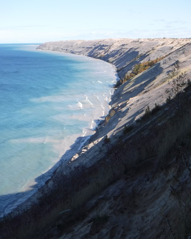
The bedrock geology of Pictured Rocks National Lakeshore predominantly consists of sedimentary rocks and deposits from two different intervals of geologic time: (1) the Mesoproterozoic, Cambrian, and Ordovician; and (2) the late Quaternary. The oldest rocks in PIRO pertain to the Mesoproterozoic Jacobsville Sandstone located in the northern area of the park unit. A significant portion of PIRO consists of the late Cambrian Munising Formation, which forms the “Pictured Rocks” along the lakeshore. The Early Ordovician Au Train Formation is found in the inland southern area of the park unit. During the Pleistocene, glaciers intermittently advanced and retreated across the Great Lakes region, leaving behind surficial deposits of till and outwash. Melting of glacial ice eroded several channels into the Cambrian bedrock of PIRO, including those now occupied by Chapel Creek and Mosquito River.
Regional Geology
Pictured Rocks National Lakeshore is a part of the Central Lowland Physiographic Province and shares its geologic history and some characteristic geologic formations with a region that extends well beyond park boundaries.
- Scoping summaries are records of scoping meetings where NPS staff and local geologists determined the park’s geologic mapping plan and what content should be included in the report.
- Digital geologic maps include files for viewing in GIS software, a guide to using the data, and a document with ancillary map information. Newer products also include data viewable in Google Earth and online map services.
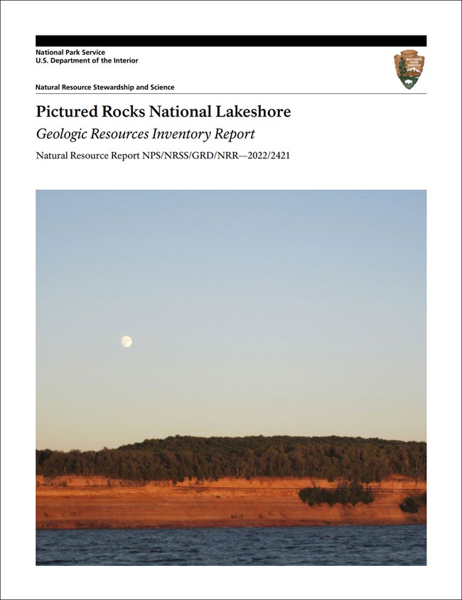
- Reports use the maps to discuss the park’s setting and significance, notable geologic features and processes, geologic resource management issues, and geologic history.
- Posters are a static view of the GIS data in PDF format. Newer posters include aerial imagery or shaded relief and other park information. They are also included with the reports.
- Projects list basic information about the program and all products available for a park.
Source: NPS DataStore Saved Search 3145. To search for additional information, visit the NPS DataStore.
A NPS Soil Resources Inventory project has been completed for Pictured Rocks National Lakeshore and can be found on the NPS Data Store.
Source: NPS DataStore Saved Search 3096. To search for additional information, visit the NPS DataStore.

Related Links
Related Articles
Pictured Rocks National Lakeshore
National Park Service Geodiversity Atlas
The servicewide Geodiversity Atlas provides information on geoheritage and geodiversity resources and values within the National Park System. This information supports science-based geoconservation and interpretation in the NPS, as well as STEM education in schools, museums, and field camps. The NPS Geologic Resources Division and many parks work with National and International geoconservation communities to ensure that NPS abiotic resources are managed using the highest standards and best practices available.
