Last updated: January 3, 2025
Article
NPS Geodiversity Atlas—Petersburg National Battlefield, Virginia
Geodiversity refers to the full variety of natural geologic (rocks, minerals, sediments, fossils, landforms, and physical processes) and soil resources and processes that occur in the park. A product of the Geologic Resources Inventory, the NPS Geodiversity Atlas delivers information in support of education, Geoconservation, and integrated management of living (biotic) and non-living (abiotic) components of the ecosystem.

Introduction
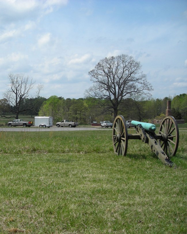
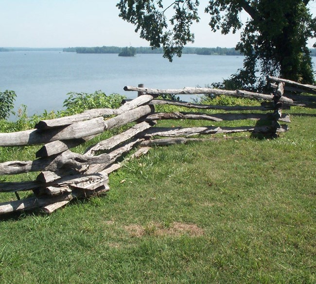
Petersburg National Battlefield (PETE) is located approximately 32 km (20 mi) south of Richmond in Peterburg City, Hopewell City, Dinwiddie County, and Prince George County, Virginia. Originally established as a national military park on July 3, 1926, the park unit was redesignated a national battlefield on August 24, 1962 (National Park Service 2016). Encompassing about 1,109 hectares (2,740 acres), PETE preserves the historic sites, structures, and landscapes of the Civil War campaign, siege, and defense of Petersburg, and fosters an understanding of these events, their causes, and impacts on the country. The Union Army waged a 10-month campaign from 1864 into 1865 to seize Petersburg, and it is here that General Ulysses S. Grant cut off Peterburg’s supply lines, ensuring the fall of Richmond in April 1865. The national battlefield includes General Grant’s Headquarters located along the James River in Hopewell, Virginia, as well as the Five Forks Battlefield in Dinwiddie County where the Confederate Army collapse led to the fall of the city and ultimately of Richmond (National Park Service 2016).

Geologic Setting
The regional geology of the Petersburg National Battlefield area predominantly consists of ancient crystalline metasedimentary and metaigneous rocks of Neoproterozoic age, Paleozoic metamorphic and igneous rocks, and younger Cretaceous and Quaternary sedimentary strata. Some of the oldest bedrock in PETE underlies the Five Forks Battlefield and consists of the Pennsylvanian–Permian Petersburg Granite. The Petersburg Granite was first named by Jonas (1928) to describe a widely mappable granite body that occurs outside the park boundary in the area of Petersburg, Virginia. The Cretaceous Potomac Formation occurs near Soldiers Pond along Harrison Creek and near the Eastern Front Visitor Center. Younger Cenozoic-age geologic units within the national battlefield include Miocene-age gravel terraces and sedimentary rocks of the lower Chesapeake Group, Pliocene Yorktown Formation, Cold Harbor Formation, and Pleistocene Bacons Castle Formation.
Regional Geology
Petersburg National Battlefield is in both the Piedmont and Coastal Plain Physiographic Provinces and shares its geologic history and some characteristic geologic formations with a region that extends well beyond park boundaries.
- Scoping summaries are records of scoping meetings where NPS staff and local geologists determined the park’s geologic mapping plan and what content should be included in the report.
- Digital geologic maps include files for viewing in GIS software, a guide to using the data, and a document with ancillary map information. Newer products also include data viewable in Google Earth and online map services.
- Reports use the maps to discuss the park’s setting and significance, notable geologic features and processes, geologic resource management issues, and geologic history.
- Posters are a static view of the GIS data in PDF format. Newer posters include aerial imagery or shaded relief and other park information. They are also included with the reports.
- Projects list basic information about the program and all products available for a park.
Source: NPS DataStore Saved Search 3142. To search for additional information, visit the NPS DataStore.
A NPS Soil Resources Inventory project has been completed for Petersburg National Battlefield and can be found on the NPS Data Store.
Source: NPS DataStore Saved Search 3093. To search for additional information, visit the NPS DataStore.

Related Links
Related Articles
Petersburg National Battlefield
National Park Service Geodiversity Atlas
The servicewide Geodiversity Atlas provides information on geoheritage and geodiversity resources and values within the National Park System. This information supports science-based geoconservation and interpretation in the NPS, as well as STEM education in schools, museums, and field camps. The NPS Geologic Resources Division and many parks work with National and International geoconservation communities to ensure that NPS abiotic resources are managed using the highest standards and best practices available.

