Last updated: July 11, 2024
Article
NPS Geodiversity Atlas—Niobrara National Scenic River, Nebraska
Geodiversity refers to the full variety of natural geologic (rocks, minerals, sediments, fossils, landforms, and physical processes) and soil resources and processes that occur in the park. A product of the Geologic Resources Inventory, the NPS Geodiversity Atlas delivers information in support of education, Geoconservation, and integrated management of living (biotic) and non-living (abiotic) components of the ecosystem.

Introduction
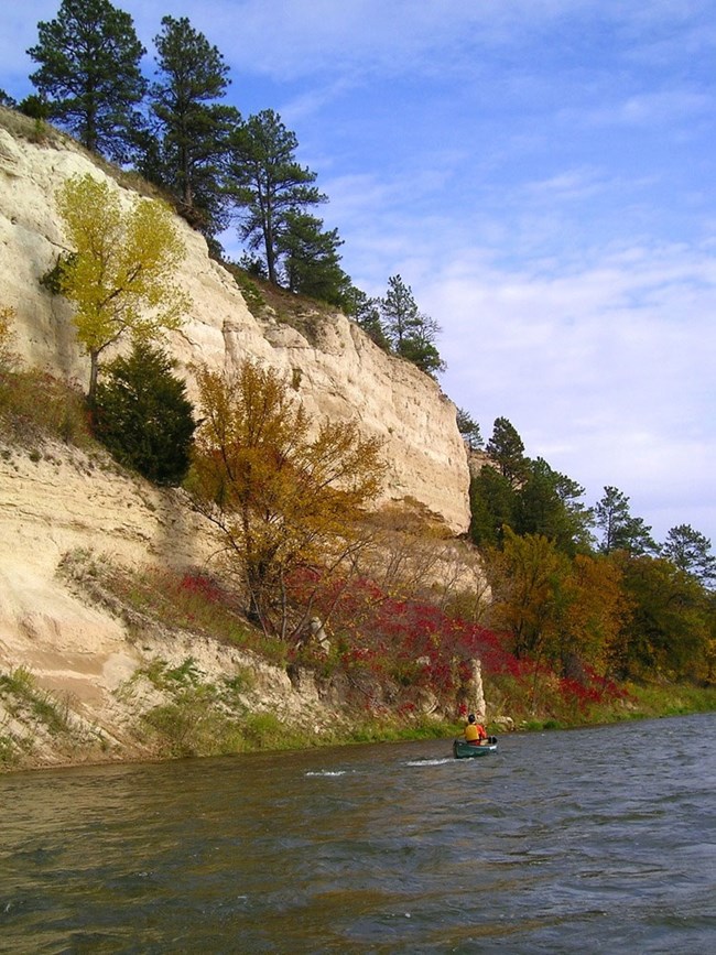
Niobrara National Scenic River (NIOB) protects a 120 km (76 mi)-long stretch of the Niobrara River in Brown, Cherry, Keya Paha, and Rock Counties, northern Nebraska. Authorized on May 24, 1991, NIOB contains approximately 11,776 hectares (29,101 acres) and features outstanding ecological, scenic, recreational, cultural, and scientific resources (National Park Service 2016a). Niobrara National Scenic River begins at Borman Bridge near the city of Valentine and encompasses the Niobrara River Valley downstream to Mariaville, Nebraska. The national scenic river supports a variety of biologically diverse ecosystems that include tallgrass, sandhills, and mixed-grass prairies in addition to northern boreal, eastern deciduous, and western coniferous forests (National Park Service 2016c). The landscape of western (upstream) NIOB features relatively narrow river canyons with steep, eroded bluffs that progressively widen and become more rounded in appearance downstream. The nature of the Niobrara River evolves downstream as well, becoming more braided and seasonally shallow east (downstream) of Norden Bridge.
Geologic Setting
Niobrara National Scenic River lies within the Nebraska Sand Hills and Dakota–Nebraska Eroded Tableland of north-central Nebraska, a region featuring mixed-grass prairies and some of the largest sand dunes in the Western Hemisphere. The bedrock underlying NIOB is composed of Mesozoic and Cenozoic rocks that represent ancient marine, fluvial, and aeolian environments. The oldest rocks in NIOB are the marine shales, siltstones, and sandstones of the Cretaceous Pierre Shale. Exposures of the Pierre Shale form the dark gray river bluffs in the eastern area of NIOB. Younger Cenozoic strata underlie the western portion of NIOB and include Oligocene sedimentary rocks that have been correlated with the White River Group as well as Miocene units of the Ogallala Group (Ash Hollow Formation and Valentine Formation) and Rosebud Formation (Skinner and Johnson 1984). The youngest rocks mapped in NIOB are composed of unconsolidated, Quaternary terrace deposits, linear dunes, alluvium, and colluvium (Swinehart et al. 1994; Joeckel et al. 2015, 2016a, 2016b).
Regional Geology
Niobrara National Scenic River is a part of the Great Plains Physiographic Province and shares its geologic history and some characteristic geologic formations with a region that extends well beyond park boundaries.
- Scoping summaries are records of scoping meetings where NPS staff and local geologists determined the park’s geologic mapping plan and what content should be included in the report.
- Digital geologic maps include files for viewing in GIS software, a guide to using the data, and a document with ancillary map information. Newer products also include data viewable in Google Earth and online map services.
- Reports use the maps to discuss the park’s setting and significance, notable geologic features and processes, geologic resource management issues, and geologic history.
- Posters are a static view of the GIS data in PDF format. Newer posters include aerial imagery or shaded relief and other park information. They are also included with the reports.
- Projects list basic information about the program and all products available for a park.
Source: NPS DataStore Saved Search 3033. To search for additional information, visit the NPS DataStore.
A NPS Soil Resources Inventory project has been completed for Niobrara National Scenic River and can be found on the NPS Data Store.
Source: NPS DataStore Saved Search 3080. To search for additional information, visit the NPS DataStore.
Related Articles
Niobrara National Scenic River
National Park Service Geodiversity Atlas
The servicewide Geodiversity Atlas provides information on geoheritage and geodiversity resources and values within the National Park System. This information supports science-based geoconservation and interpretation in the NPS, as well as STEM education in schools, museums, and field camps. The NPS Geologic Resources Division and many parks work with National and International geoconservation communities to ensure that NPS abiotic resources are managed using the highest standards and best practices available.

