Last updated: July 11, 2024
Article
NPS Geodiversity Atlas—Ninety Six National Historic Site, South Carolina
Geodiversity refers to the full variety of natural geologic (rocks, minerals, sediments, fossils, landforms, and physical processes) and soil resources and processes that occur in the park. A product of the Geologic Resources Inventory, the NPS Geodiversity Atlas delivers information in support of education, Geoconservation, and integrated management of living (biotic) and non-living (abiotic) components of the ecosystem.

Introduction
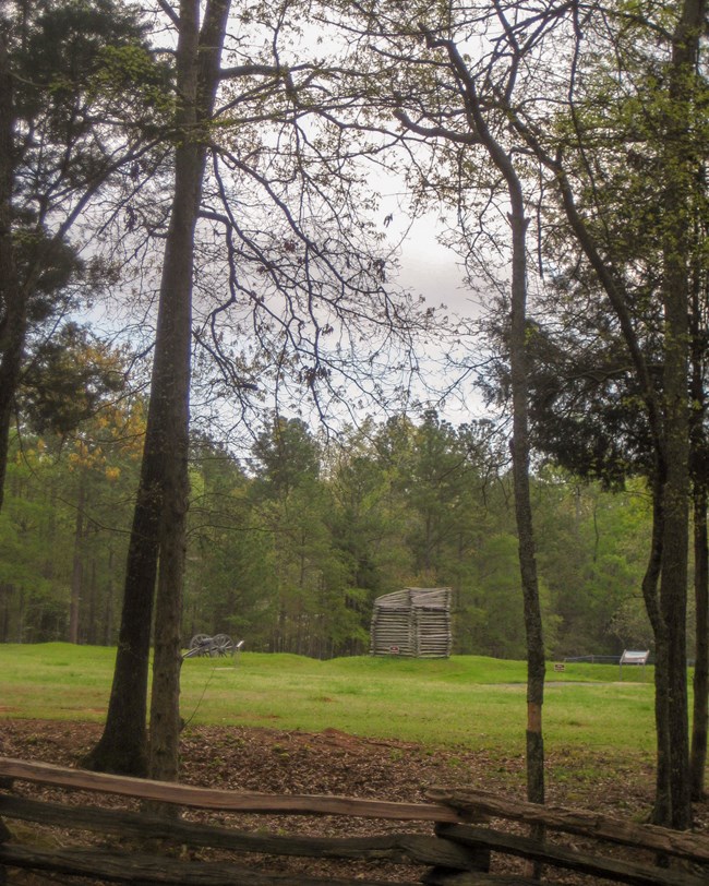
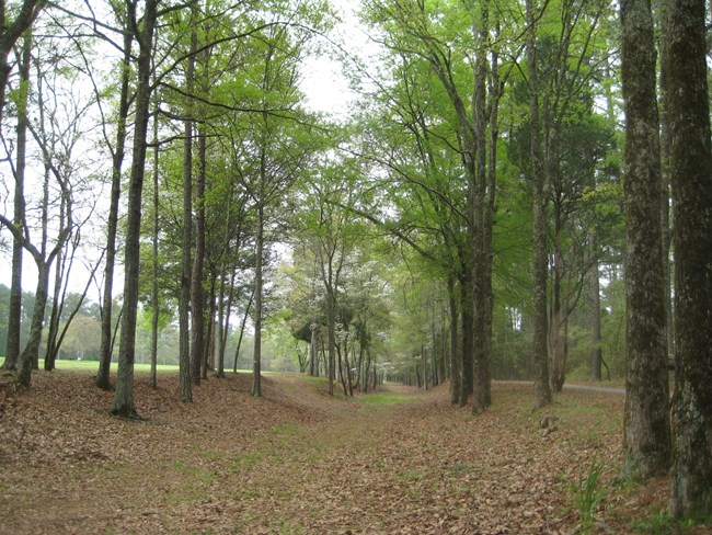
Ninety Six National Historic Site (NISI) is located approximately 14 km (9 mi) southeast of the city of Greenwood in Greenwood County, South Carolina. Authorized on August 19, 1976, NISI contains about 413 hectares (1,022 acres) and preserves and commemorates the site of the first land battle south of New England and the longest field siege of the Revolutionary War (National Park Service 2016a). NISI embodies a unique and intact combination of three distinct historic periods, as a trading and meeting place on the Carolina backcountry from 1715–1760s, a thriving colonial village and seat of government (1768–early 1800s), and a Revolutionary War stronghold (National Park Service 2014c). The site preserves unique and original resources, including the Star Fort earthwork embankments, two historic villages, a colonial plantation complex, prehistoric sites, and Kosciuszko’s Mine, associated with Nathanael Greene’s 28-day siege of the trading village in May and June of 1781. Though Greene did not succeed in taking Ninety Six, he won a strategic victory by forcing the British out of this backcountry stronghold and restricting British control of South Carolina to areas near the coast. The origin of the park namesake is a bit ambiguous, but the most accepted story of how Ninety Six was named is that it denotes the estimated distance, in miles, from NISI to the important Cherokee town of Keowee (National Park Service 2014c).
Geologic Setting
The bedrock geology of Ninety Six National Historic Site consists of ancient metamorphic and igneous rocks that date back to the Neoproterozoic and Paleozoic Eras, approximately 550–360 Ma. The oldest mapped unit in NISI consists of Neoproterozoic to Paleozoic-age biotite quartz-plagioclase gneiss that underlies a major portion of the historic site including the visitor center, Star Fort, Stockade Fort, Town of Ninety Six site, and the Siege Trenches. The bedrock of the southern portion of NISI below Tolbert Branch Henley Creek is composed of Silurian–Devonian-age gabbro of the Greenwood pluton.
Regional Geology
Ninety Six National Historic Site is a part of the Piedmont Physiographic Province and shares its geologic history and some characteristic geologic formations with a region that extends well beyond park boundaries.
- Scoping summaries are records of scoping meetings where NPS staff and local geologists determined the park’s geologic mapping plan and what content should be included in the report.
- Digital geologic maps include files for viewing in GIS software, a guide to using the data, and a document with ancillary map information. Newer products also include data viewable in Google Earth and online map services.
- Reports use the maps to discuss the park’s setting and significance, notable geologic features and processes, geologic resource management issues, and geologic history.
- Posters are a static view of the GIS data in PDF format. Newer posters include aerial imagery or shaded relief and other park information. They are also included with the reports.
- Projects list basic information about the program and all products available for a park.
Source: NPS DataStore Saved Search 3032. To search for additional information, visit the NPS DataStore.
A NPS Soil Resources Inventory project has been completed for Ninety Six National Historic Site and can be found on the NPS Data Store.
Source: NPS DataStore Saved Search 3079. To search for additional information, visit the NPS DataStore.

Related Links
Related Articles
Ninety Six National Historic Site
National Park Service Geodiversity Atlas
The servicewide Geodiversity Atlas provides information on geoheritage and geodiversity resources and values within the National Park System. This information supports science-based geoconservation and interpretation in the NPS, as well as STEM education in schools, museums, and field camps. The NPS Geologic Resources Division and many parks work with National and International geoconservation communities to ensure that NPS abiotic resources are managed using the highest standards and best practices available.
