Last updated: July 11, 2024
Article
NPS Geodiversity Atlas—National Capital Parks-East, District of Colombia
Geodiversity refers to the full variety of natural geologic (rocks, minerals, sediments, fossils, landforms, and physical processes) and soil resources and processes that occur in the park. A product of the Geologic Resources Inventory, the NPS Geodiversity Atlas delivers information in support of education, Geoconservation, and integrated management of living (biotic) and non-living (abiotic) components of the ecosystem.

Introduction
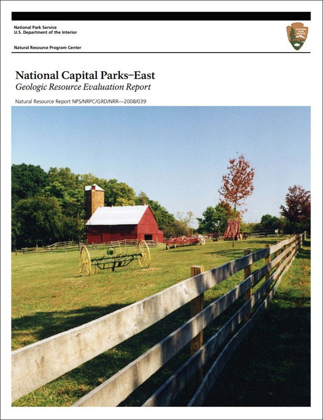
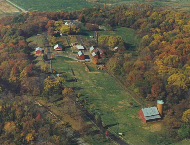
National Capital Parks-East (NACE) represents a diverse collection of urban park units located in all four quadrants of Washington, D.C., as well as in Prince George’s, Anne Arundel, and Charles Counties in Maryland. The park units of NACE protect a broad range of locally, regionally, and nationally important resources that are distributed among 98 locations and total more than 3,237 hectares (8,000 acres). Park resources consist of natural areas, recreation areas, cultural landscapes, historic homes, parkways, farms, archeological sites, and historic forts. The park units of NACE include: Anacostia Park (ANAC); Baltimore-Washington Parkway (BAWA); Capitol Hill Parks (CAHI); Fort Circle Parks, also known as the Civil War Defenses of Washington (CDWD), including Shepherd Parkway and several Civil War forts such as Fort Dupont (FODU), Fort Foote (FOFO), and Fort Stanton; Fort Washington Park (FOWA); Frederick Douglass National Historic Site (FRDO); Greenbelt Park (GREE); Harmony Hall (HAHA); Kenilworth Park and Aquatic Gardens (KEAQ), including Kenilworth Marsh; Mary McLeod Bethune Council House National Historic Site (MAMC); Oxon Cove Park and Oxon Hill Farm (OXHI); Oxon Run Parkway (OXRN); Piscataway Park (PISC), including with Hard Bargain and National Colonial Farms; Sewall-Belmont House National Historic Site (BEPA); Suitland Parkway (SUIT); and others (National Park Service 2019). Many of the park sites of NACE are located along the Anacostia and Potomac Rivers and represent important ecological buffers between urban spaces and river watersheds while providing relief from the urban environment and preserve the viewshed across the Potomac River for the historic Mount Vernon mansion.
Geologic Setting
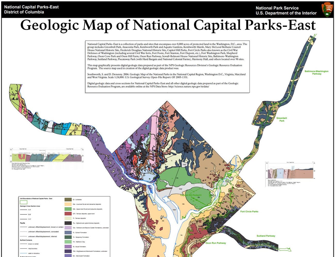
Situated within the Atlantic Coastal Plain physiographic province located east/south of the Fall Line, the geology of NACE predominantly consists of Cretaceous or younger rocks that represent partially consolidated or unconsolidated sediments shed from the Appalachian Mountains toward the Atlantic Ocean (Southworth and Denenny 2006; Thornberry-Ehrlich 2008c). The Mesozoic and Cenozoic are represented by the Cretaceous Potomac Formation and Severn Formation, Paleocene Brightseat Formation and Aquia Formation, Eocene Marlboro Clay and Nanjemoy Formation, and Miocene Calvert Formation. Younger surficial units mapped throughout NACE include Neogene–Pleistoceneage terrace deposits, Pleistocene fluvial and estuarine deposits, and Holocene alluvium.
Regional Geology
National Capital Parks East are a part of the Coastal Plain and Piedmont Physiographic Provinces and share a geologic history and some characteristic geologic formations with a region that extends well beyond park boundaries.
- Scoping summaries are records of scoping meetings where NPS staff and local geologists determined the park’s geologic mapping plan and what content should be included in the report.
- Digital geologic maps include files for viewing in GIS software, a guide to using the data, and a document with ancillary map information. Newer products also include data viewable in Google Earth and online map services.
- Reports use the maps to discuss the park’s setting and significance, notable geologic features and processes, geologic resource management issues, and geologic history.
- Posters are a static view of the GIS data in PDF format. Newer posters include aerial imagery or shaded relief and other park information. They are also included with the reports.
- Projects list basic information about the program and all products available for a park.
Source: Data Store Saved Search 3026. To search for additional information, visit the Data Store.
A NPS Soil Resources Inventory project has been completed for National Capital Parks-East and can be found on the NPS Data Store.
Source: Data Store Saved Search 3073. To search for additional information, visit the Data Store.

Related Links
Related Articles
National Capital Parks-East
National Park Service Geodiversity Atlas
The servicewide Geodiversity Atlas provides information on geoheritage and geodiversity resources and values within the National Park System. This information supports science-based geoconservation and interpretation in the NPS, as well as STEM education in schools, museums, and field camps. The NPS Geologic Resources Division and many parks work with National and International geoconservation communities to ensure that NPS abiotic resources are managed using the highest standards and best practices available.

