Last updated: July 11, 2024
Article
NPS Geodiversity Atlas—Muir Woods National Monument, California
Geodiversity refers to the full variety of natural geologic (rocks, minerals, sediments, fossils, landforms, and physical processes) and soil resources and processes that occur in the park. A product of the Geologic Resources Inventory, the NPS Geodiversity Atlas delivers information in support of education, Geoconservation, and integrated management of living (biotic) and non-living (abiotic) components of the ecosystem.

Introduction
Muir Woods National Monument (MUWO) is located just a few miles northwest of San Francisco in Marin County, California. Proclaimed on January 9, 1908, MUWO contains about 224 hectares (554 acres) and protects the last remnant of old-growth redwood forest in proximity to the Bay Area (National Park Service 2016, 2017). The monument is named after influential naturalist and writer John Muir, considered to be a key advocate and founder of the national park concept. The establishment of MUWO is regarded as an important demonstration of early 20th century American conservation history, as the virgin redwood tract reaches heights of more than 76 m (250 ft) and has an average age between 600 and 800 years, with the oldest trees being at least 1,200 years old (Port 2016; National Park Service 2017). MUWO is encompassed by and managed as a distinct park unit within Golden Gate National Recreation Area.

Geologic Setting
The bedrock geology of Muir Woods National Monument consists entirely of rocks associated with the Jurassic–Eocene Franciscan Complex. The Franciscan Complex is composed of a diverse suite of lithologies that formed in an ancient subduction zone along the western coast of the United States (Elder 2013). Convergence between the oceanic Farallon Plate and continental North American Plate sheared and faulted some of the Franciscan rocks into a “mélange” (a French word for “mixture”) or broken blocks ranging in size from a few meters or yards across to many square kilometers or miles in area (Sloan 2006). The soft and sheared mélange of the Franciscan Complex is the predominant bedrock of MUWO, and forms rounded hills among more resistant Franciscan rocks in the Bay Area (Sloan 2006). Mapped in the easternmost portion of the monument are chert and metachert of the Franciscan Complex that occur as a large, fault-bounded block surrounded by mélange. Young surficial units within MUWO include Quaternary-age alluvium located along lower Redwood Creek.
Regional Geology
Muir Woods National Monument is a part of the Pacific Border Physiographic Province and shares its geologic history and some characteristic geologic formations with a region that extends well beyond park boundaries.
- Scoping summaries are records of scoping meetings where NPS staff and local geologists determined the park’s geologic mapping plan and what content should be included in the report.
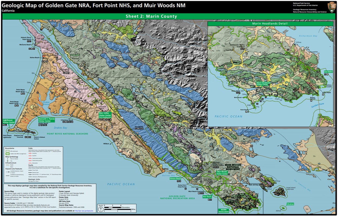
- Digital geologic maps include files for viewing in GIS software, a guide to using the data, and a document with ancillary map information. Newer products also include data viewable in Google Earth and online map services.
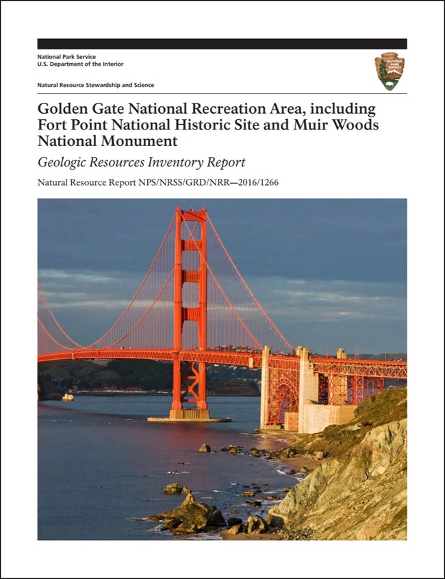
- Reports use the maps to discuss the park’s setting and significance, notable geologic features and processes, geologic resource management issues, and geologic history.
- Posters are a static view of the GIS data in PDF format. Newer posters include aerial imagery or shaded relief and other park information. They are also included with the reports.
- Projects list basic information about the program and all products available for a park.
Source: NPS DataStore Saved Search 3024. To search for additional information, visit the NPS DataStore.
A NPS Soil Resources Inventory project has been completed for Muir Woods National Monument and can be found on the NPS Data Store.
Source: NPS DataStore Saved Search 3071. To search for additional information, visit the NPS DataStore.

Related Links
Related Articles
Muir Woods National Monument
National Park Service Geodiversity Atlas
The servicewide Geodiversity Atlas provides information on geoheritage and geodiversity resources and values within the National Park System. This information supports science-based geoconservation and interpretation in the NPS, as well as STEM education in schools, museums, and field camps. The NPS Geologic Resources Division and many parks work with National and International geoconservation communities to ensure that NPS abiotic resources are managed using the highest standards and best practices available.

