Last updated: July 11, 2024
Article
NPS Geodiversity Atlas—Mount Rushmore National Memorial, South Dakota
Geodiversity refers to the full variety of natural geologic (rocks, minerals, sediments, fossils, landforms, and physical processes) and soil resources and processes that occur in the park. A product of the Geologic Resources Inventory, the NPS Geodiversity Atlas delivers information in support of education, Geoconservation, and integrated management of living (biotic) and non-living (abiotic) components of the ecosystem.

Introduction
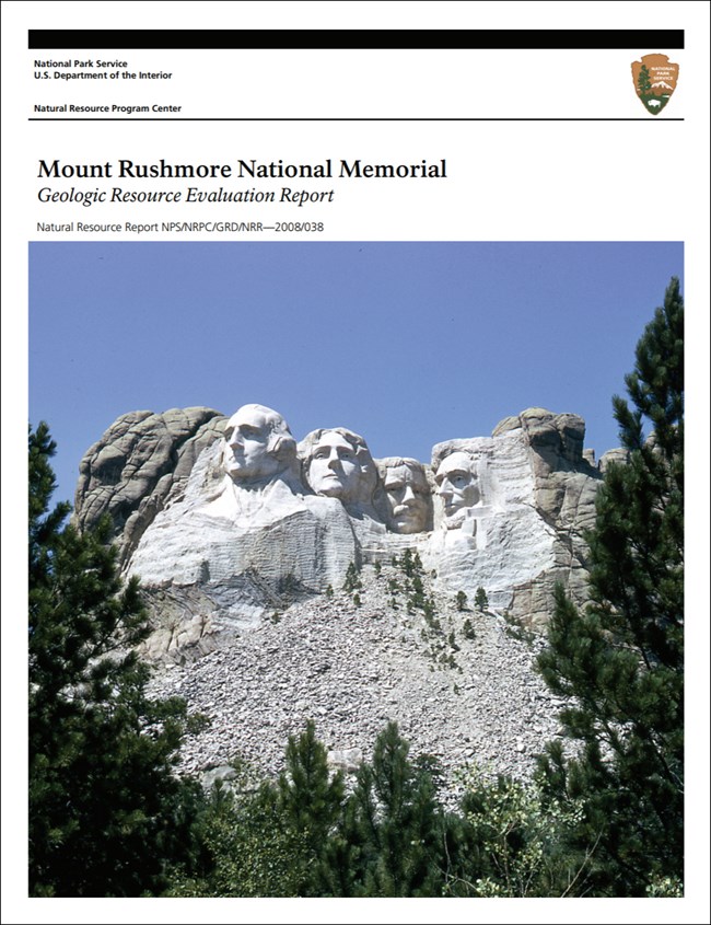
Mount Rushmore National Memorial (MORU) is located in the central Black Hills of southwestern South Dakota, approximately 3.2 km (2 mi) southwest of Keystone in Pennington County. The 517-hectare (1,278 acre) national memorial was authorized on March 3, 1925 and preserves the famous granite mountain sculpture commemorating U.S. Presidents George Washington, Thomas Jefferson, Theodore Roosevelt, and Abraham Lincoln (National Park Service 2016a). The design and construction of Mount Rushmore was inspired by artist Gutzon Borglum and required a construction team of roughly 400 workers to complete from 1927 until 1941. The 18 m (60 ft)-tall busts of Washington, Jefferson, Roosevelt, and Lincoln represent an engineering marvel sculpted by dynamite, drilling, and manpower. Set against the ponderosa pine forest and granite walls of the Black Hills region, the iconic sculpture stands as an internationally recognized symbol and powerful representation of American democracy and freedom (National Park Service 2017d).
Geologic Setting
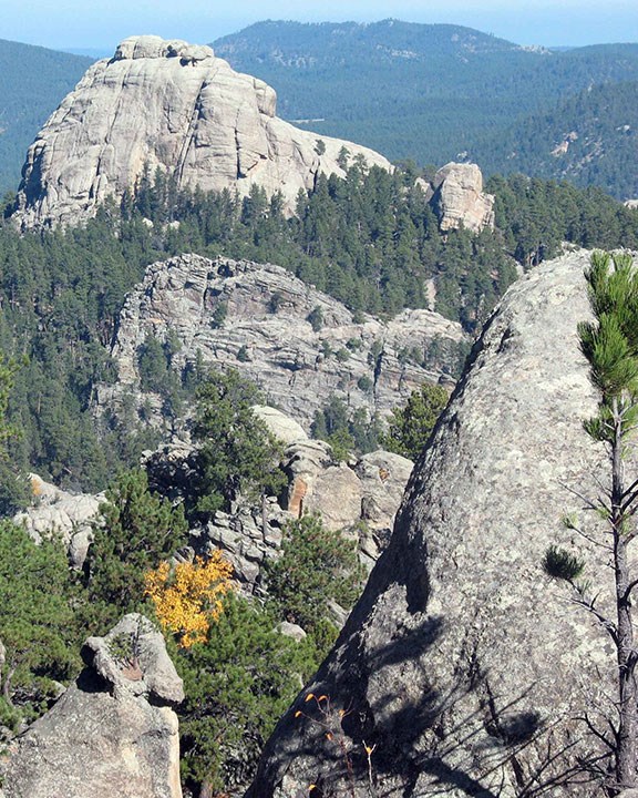
Mount Rushmore National Memorial is situated in the Great Plains physiographic province in the Black central Black Hills Uplift, an asymmetric domal uplift covering approximately 0.8 million hectares (2 million acres) along the South Dakota–Wyoming border. Development of the Black Hills Uplift largely occurred throughout the Paleocene approximately 60 to 50 million years ago due to tectonic collisional forces associated with the Laramide Orogeny (Lisenbee 1988; Lisenbee and DeWitt 1993). Uplifted Paleozoic and Mesozoic strata were eroded away from the central Black Hills Uplift, exposing a core of Precambrian metamorphic and igneous rocks that is found in MORU. These ancient Paleoproterozoic rocks include metamorphosed black shale, meta-graywacke, and the Harney Peak Granite. The Harney Peak Granite is especially important to MORU in that the granite was chosen as the artistic medium in which to sculpt Mount Rushmore. Young surficial deposits mapped in MORU include Quaternary alluvial and talus deposits.
Abandoned Mineral Lands
NPS AML sites can be important cultural resources and habitat, but many pose risks to park visitors and wildlife, and degrade water quality, park landscapes, and physical and biological resources. Be safe near AML sites—Stay Out and Stay Alive!
Regional Geology
Mount Rushmore is a part of the Great Plains Physiographic Province and shares its geologic history and some characteristic geologic formations with a region that extends well beyond park boundaries.
- Scoping summaries are records of scoping meetings where NPS staff and local geologists determined the park’s geologic mapping plan and what content should be included in the report.
- Digital geologic maps include files for viewing in GIS software, a guide to using the data, and a document with ancillary map information. Newer products also include data viewable in Google Earth and online map services.
- Reports use the maps to discuss the park’s setting and significance, notable geologic features and processes, geologic resource management issues, and geologic history.
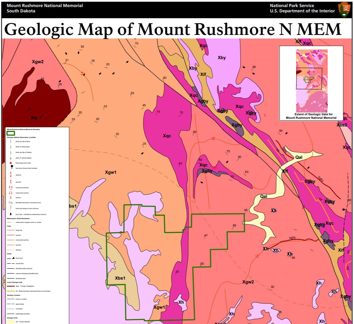
- Posters are a static view of the GIS data in PDF format. Newer posters include aerial imagery or shaded relief and other park information. They are also included with the reports.
- Projects list basic information about the program and all products available for a park.
Source: NPS DataStore Saved Search 3023. To search for additional information, visit the NPS DataStore.
A NPS Soil Resources Inventory project has been completed for Mount Rushmore National Memorial and can be found on the NPS Data Store.
Source: NPS DataStore Saved Search 3070. To search for additional information, visit the NPS DataStore.
Related Articles
Mount Rushmore National Memorial
National Park Service Geodiversity Atlas
The servicewide Geodiversity Atlas provides information on geoheritage and geodiversity resources and values within the National Park System. This information supports science-based geoconservation and interpretation in the NPS, as well as STEM education in schools, museums, and field camps. The NPS Geologic Resources Division and many parks work with National and International geoconservation communities to ensure that NPS abiotic resources are managed using the highest standards and best practices available.


