Last updated: July 11, 2024
Article
NPS Geodiversity Atlas—Montezuma Castle National Monument, Arizona
Geodiversity refers to the full variety of natural geologic (rocks, minerals, sediments, fossils, landforms, and physical processes) and soil resources and processes that occur in the park. A product of the Geologic Resources Inventory, the NPS Geodiversity Atlas delivers information in support of education, Geoconservation, and integrated management of living (biotic) and non-living (abiotic) components of the ecosystem.

Introduction
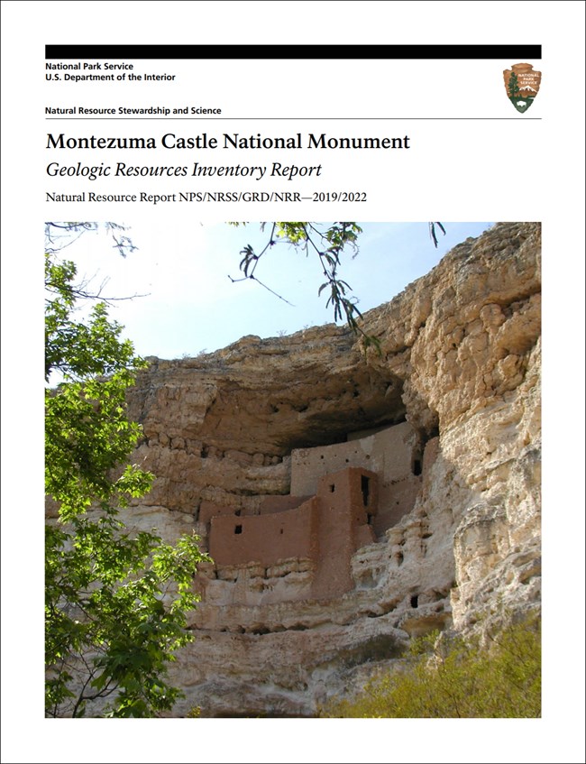
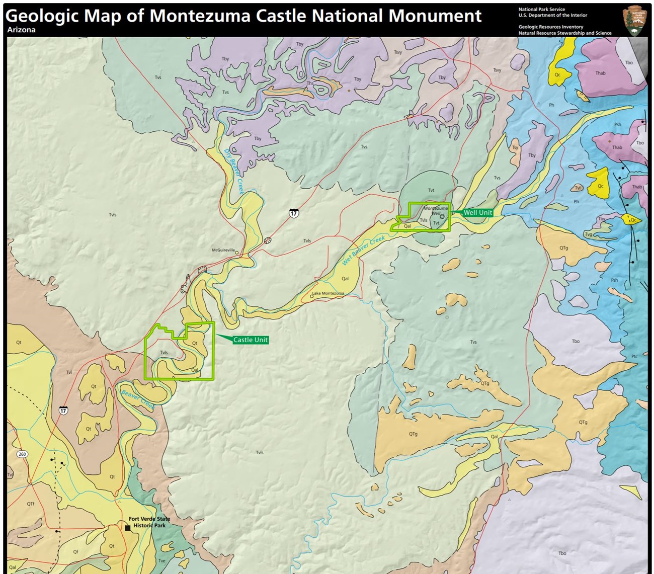
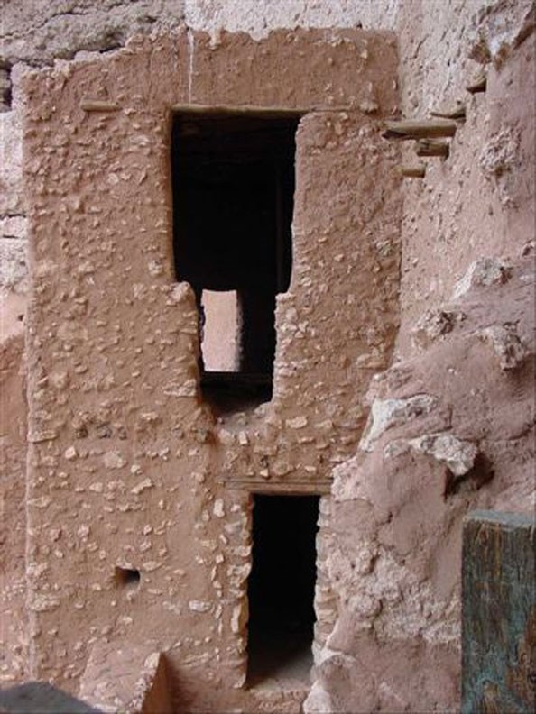
Montezuma Castle National Monument (MOCA) is located approximately 30 km (19 mi) south of Sedona in Yavapai County, Arizona. Proclaimed on December 8, 1906, MOCA encompasses about 411 hectares (1,016 acres) and was established to protect the prehistoric and historic features and natural ecosystems including iconic cliff dwellings, an artesian-fed sinkhole, and the desert riparian environment (National Park Service 2016f). The monument is composed of two non-contiguous units: the larger Castle Unit to the south and the Well Unit to the north. The most distinguishing feature of the Castle Unit is the monument namesake Montezuma Castle, a wellpreserved Sinaguan cliff dwelling constructed in the 12th and 13th centuries that stands five stories tall and contains 20 rooms. Montezuma Castle is the most visible feature found within a diverse natural landscape in the Verde Valley of Arizona (KellerLynn 2019a). The most distinguishing feature of the Well Unit is Montezuma Well, an artesian-fed limestone sinkhole that hosts invertebrates found nowhere else on Earth (National Park Service 2016a).
Geologic Setting
Montezuma Castle National Monument is situated in a transition zone between the Basin and Range and Colorado Plateau physiographic provinces. Features of the transition zone include horst and graben topography indicative of the Basin and Range as well as colorful, flat-lying sedimentary strata characteristic of the Colorado Plateau (KellerLynn 2019a). The bedrock underlying MOCA predominantly consists of the Miocene–Pliocene Verde Formation and includes sedimentary lacustrine deposits, travertine (limestone precipitated around mineral springs), and limestone. Montezuma Castle is built into limestone of the Verde Formation, while Montezuma Well formed in the travertine sequences of the formation. The well is a natural flowing spring within an immense limestone sink created by the collapse of an underground cavern. Approximately 5.7 million liters (1.5 million gallons) of water flow through the well every day and drain through a 91 m (300 ft)-long cave where it emerges into the remains of pre-contact irrigation canals and ditches, now thickly coated with travertine (KellerLynn 2019a). Surficial deposits mapped within MOCA include Pleistocene– Holocene terrace gravels and Holocene alluvium.
Regional Geology
Montezuma Castle National Monument is a part of the Basin and Range Physiographic Province and shares its geologic history and some characteristic geologic formations with a region that extends well beyond park boundaries.
Maps and Reports
- Scoping summaries are records of scoping meetings where NPS staff and local geologists determined the park’s geologic mapping plan and what content should be included in the report.
- Digital geologic maps include files for viewing in GIS software, a guide to using the data, and a document with ancillary map information. Newer products also include data viewable in Google Earth and online map services.
- Reports use the maps to discuss the park’s setting and significance, notable geologic features and processes, geologic resource management issues, and geologic history.
- Posters are a static view of the GIS data in PDF format. Newer posters include aerial imagery or shaded relief and other park information. They are also included with the reports.
- Projects list basic information about the program and all products available for a park.
Source: NPS DataStore Saved Search 3019. To search for additional information, visit the NPS DataStore.
A NPS Soil Resources Inventory project has been completed for Montezuma Castle National Monument and can be found on the NPS Data Store.
Source: NPS DataStore Saved Search 3066. To search for additional information, visit the NPS DataStore.
GRI Geology Image Gallery
Related Articles
Montezuma Castle National Monument
National Park Service Geodiversity Atlas
The servicewide Geodiversity Atlas provides information on geoheritage and geodiversity resources and values within the National Park System. This information supports science-based geoconservation and interpretation in the NPS, as well as STEM education in schools, museums, and field camps. The NPS Geologic Resources Division and many parks work with National and International geoconservation communities to ensure that NPS abiotic resources are managed using the highest standards and best practices available.


