Last updated: July 10, 2024
Article
NPS Geodiversity Atlas—Lake Roosevelt National Recreation Area, Washington
Geodiversity refers to the full variety of natural geologic (rocks, minerals, sediments, fossils, landforms, and physical processes) and soil resources and processes that occur in the park. A product of the Geologic Resources Inventory, the NPS Geodiversity Atlas delivers information in support of education, Geoconservation, and integrated management of living (biotic) and non-living (abiotic) components of the ecosystem.

Introduction
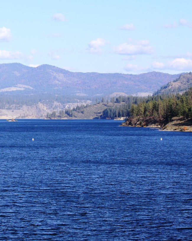
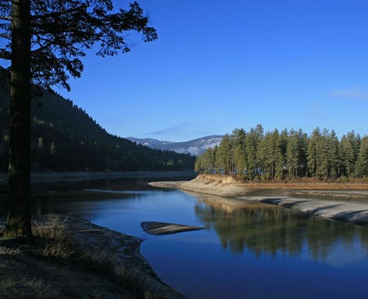
Lake Roosevelt National Recreation Area (LARO) is the largest reservoir in the Pacific Northwest and stretches 214 km (133 mi) from Grand Coulee Dam to Onion Creek in Ferry, Grant, Lincoln, and Stevens Counties, northeastern Washington. Originally established as Coulee Dam Recreational Area on December 18, 1946, the park unit was renamed on January 1, 1997 (National Park Service 2016a). Encompassing approximately 40,626 hectares (100,390 acres), LARO protects, conserves, and preserves the natural and cultural resources of the Upper Columbia River Basin behind Grand Coulee Dam and provides for diverse recreational opportunities (National Park Service 2015b). Formed by the construction of the Grand Coulee Dam in 1941, the Franklin D. Roosevelt Lake is situated along the convergence of the Okanogan Highlands and Columbia Basin physiographic provinces. LARO includes more than 483 km (300 mi) of publicly accessible shoreline and provides visitors a variety of recreational options that include boating, fishing, camping, picnicking, and sightseeing.
Geologic Setting
Lake Roosevelt National Recreation Area is situated in a landscape sculpted by a rare combination of sequential geologic processes that include 1) tectonic plate convergence, 2) volcanism, 3) continental glaciation, and 4) cataclysmic Ice Age floods. An assemblage of metamorphic, igneous, and sedimentary rocks can be found around Lake Roosevelt that record ancient plate tectonic processes. The northern area of LARO around Kettle Falls contains meta-sedimentary rocks that were once part of an ancient seafloor. To the south, the Grand Coulee Dam is built upon granite bedrock that formed due to subduction-related volcanism. During the Miocene, extensive lava flows were deposited over the landscape of LARO and formed the layers of rock associated with the Columbia River Basalt Group. The dark, layered basalt of the Columbia River Basalt Group borders the southern edge of Lake Roosevelt, from Fort Spokane to the Grand Coulee Dam area. The effect of Pleistocene glaciation scoured the mountains in the northern LARO region while the southern half was subjected to catastrophic flooding as glacially dammed lakes were weakened and burst. The broad, box-like canyons of the Channeled Scabland were formed during multiple episodes of immense flooding. Evidence of Ice Age flooding can be found everywhere around Lake Roosevelt and are recorded in carved channels (“coulees”) and layered sedimentary deposits called rhythmites.
Regional Geology
Lake Roosevelt National Recreation Area is a part of the Columbia Plateau and Northern Rocky Mountains Physiographic Provinces shares its geologic history and some characteristic geologic formations with a region that extends well beyond park boundaries.
- Scoping summaries are records of scoping meetings where NPS staff and local geologists determined the park’s geologic mapping plan and what content should be included in the report.
- Digital geologic maps include files for viewing in GIS software, a guide to using the data, and a document with ancillary map information. Newer products also include data viewable in Google Earth and online map services.
- Reports use the maps to discuss the park’s setting and significance, notable geologic features and processes, geologic resource management issues, and geologic history.
- Posters are a static view of the GIS data in PDF format. Newer posters include aerial imagery or shaded relief and other park information. They are also included with the reports.
- Projects list basic information about the program and all products available for a park.
Source: NPS DataStore Saved Search 3001. To search for additional information, visit the NPS DataStore.
A NPS Soil Resources Inventory project has been completed for Lake Roosevelt National Recreation Area and can be found on the NPS Data Store.
Source: NPS DataStore Saved Search 3048. To search for additional information, visit the NPS DataStore.
Related Articles
Lake Roosevelt National Recreation Area
National Park Service Geodiversity Atlas
The servicewide Geodiversity Atlas provides information on geoheritage and geodiversity resources and values within the National Park System. This information supports science-based geoconservation and interpretation in the NPS, as well as STEM education in schools, museums, and field camps. The NPS Geologic Resources Division and many parks work with National and International geoconservation communities to ensure that NPS abiotic resources are managed using the highest standards and best practices available.

