Last updated: July 9, 2024
Article
NPS Geodiversity Atlas—Kennesaw Mountain National Battlefield Park, Georgia
Geodiversity refers to the full variety of natural geologic (rocks, minerals, sediments, fossils, landforms, and physical processes) and soil resources and processes that occur in the park. A product of the Geologic Resources Inventory, the NPS Geodiversity Atlas delivers information in support of education, Geoconservation, and integrated management of living (biotic) and non-living (abiotic) components of the ecosystem.

Introduction
Kennesaw Mountain National Battlefield Park (KEMO) is located approximately 32 km (20 mi) northwest of metropolitan Atlanta in north-central Cobb County, Georgia. Originally authorized as a national battlefield site on February 8, 1917, the park unit was redesignated as a national battlefield park on June 26, 1935 (National Park Service 2016a). Encompassing about 1,171 hectares (2,894 acres), KEMO preserves a battle site representing the 1864 Atlanta Campaign of the American Civil War. The Union victory of the Atlanta Campaign helped solidify the re-election of President Abraham Lincoln and thereby the eventual preservation of the Union (National Park Service 2013). The battlefield park protects several historical resources, including 18 km (11 mi) of Union and Confederate earthworks that mark the sites of the Battle of Kolb’s Farm (June 22, 1864) and the Battle of Kennesaw Mountain (June 27, 1864). Following the Civil War, a group of Illinois veterans purchased and donated a 24 hectare (60 acre) plot of land that would later become the southern portion of KEMO and helped establish the park (Barthelmes 2021).
Geologic Setting
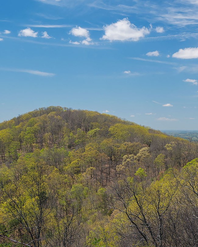
Kennesaw Mountain National Battlefield Park is situated in the Piedmont physiographic province, a region defined by Precambrian and Paleozoic crystalline rocks that formed during a series of orogenies (mountain building events) culminating in the creation of the Appalachian Mountains. The bedrock underlying KEMO can be broken down into two main groups of rocks: (1) Proterozoic–Ordovician(?) metamorphic and metaigneous rocks; and (2) lower Paleozoic metamorphic rocks. A significant portion of the park’s geology consists of meta-igneous rocks of the Proterozoic–Ordovician(?) Ropes Creek Metabasalt and Stonewall Gneiss. The northernmost area of KEMO is underlain by metamorphic rocks of similar age that include the Crider Gneiss, migmatite of Kennesaw Mountain, and spheroidally weathered amphibolite. Younger, Paleozoic-age units are mapped in southern KEMO, consisting of the Cambrian Crawfish Creek Formation and the informal Cambrian–Ordovician(?) schist of Hulett facies. Structurally, the assemblage of rock units in KEMO are crossed and juxtaposed by numerous strike-slip faults that include the Bell Park Fault, Marietta Fault, Noses Creek Fault, and several smaller unnamed faults.
Regional Geology
Kennesaw Mountain National Battlefield Park is a part of the Piedmont Physiographic Province and shares its geologic history and some characteristic geologic formations with a region that extends well beyond park boundaries.
- Scoping summaries are records of scoping meetings where NPS staff and local geologists determined the park’s geologic mapping plan and what content should be included in the report.
- Digital geologic maps include files for viewing in GIS software, a guide to using the data, and a document with ancillary map information. Newer products also include data viewable in Google Earth and online map services.
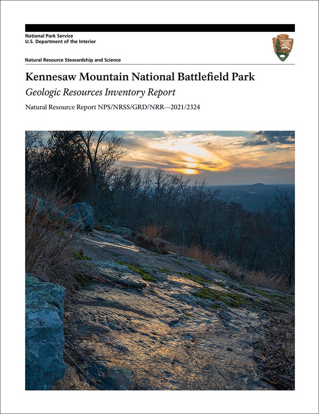
- Reports use the maps to discuss the park’s setting and significance, notable geologic features and processes, geologic resource management issues, and geologic history.
- Posters are a static view of the GIS data in PDF format. Newer posters include aerial imagery or shaded relief and other park information. They are also included with the reports.
- Projects list basic information about the program and all products available for a park.
Source: NPS DataStore Saved Search 2993. To search for additional information, visit the NPS DataStore.
A NPS Soil Resources Inventory project has been completed for Kennesaw Mountain National Battlefield Park and can be found on the NPS Data Store.
Source: NPS DataStore Saved Search 3040. To search for additional information, visit the NPS DataStore.
Related Articles
Kennesaw Mountain National Battlefield Park
National Park Service Geodiversity Atlas
The servicewide Geodiversity Atlas provides information on geoheritage and geodiversity resources and values within the National Park System. This information supports science-based geoconservation and interpretation in the NPS, as well as STEM education in schools, museums, and field camps. The NPS Geologic Resources Division and many parks work with National and International geoconservation communities to ensure that NPS abiotic resources are managed using the highest standards and best practices available.


