Last updated: July 9, 2024
Article
NPS Geodiversity Atlas—Johnstown Flood National Memorial, Pennsylvania
Geodiversity refers to the full variety of natural geologic (rocks, minerals, sediments, fossils, landforms, and physical processes) and soil resources and processes that occur in the park. A product of the Geologic Resources Inventory, the NPS Geodiversity Atlas delivers information in support of education, Geoconservation, and integrated management of living (biotic) and non-living (abiotic) components of the ecosystem.

Introduction
Johnstown Flood National Memorial (JOFL) is situated in the Allegheny Mountains section of the Appalachian Plateaus approximately 16 km (10 mi) northeast of Johnstown in Cambria County, southcentral Pennsylvania. Authorized as an NPS park unit on August 31, 1964, the 72.0- hectare (178-acre) memorial is dedicated to the 2,209 lives lost during the tragic May 31, 1889 failure of the South Fork Dam that destroyed the working-class city of Johnstown, Pennsylvania. Considered one of the worst natural disasters in United States history, the tragedy brought the nation and the world together to aid the “Johnstown sufferers”. The Johnstown Flood is known for being the first disaster relief effort of the American Red Cross, led successfully by Clara Barton.
Geologic Setting
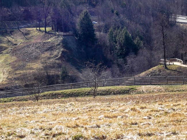
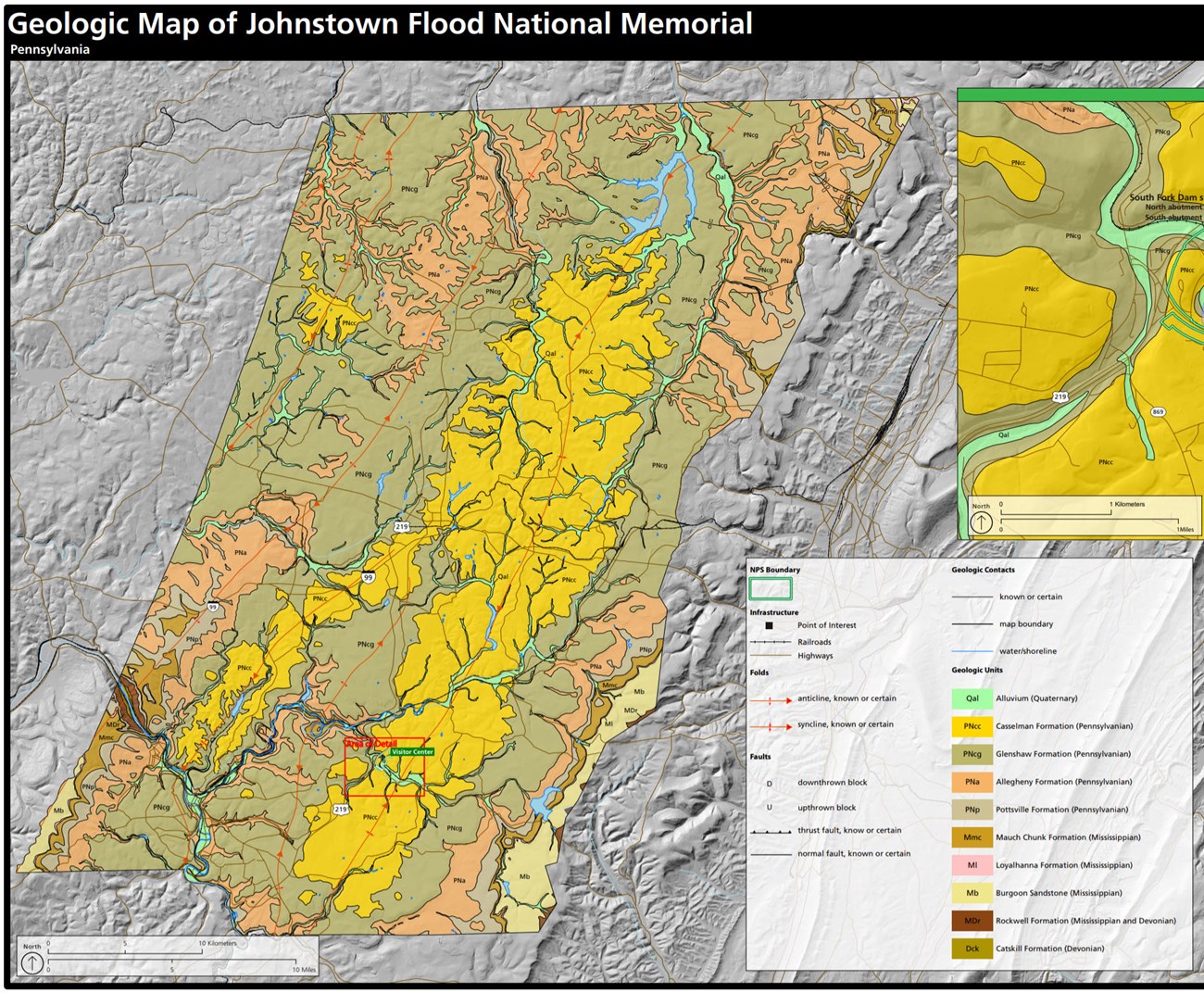
The bedrock geology of Johnstown Flood National Memorial consists of relatively flat-lying and undeformed sedimentary rocks of the Pennsylvanian-age (~325–300 million years old) Casselman Formation and Glenshaw Formation. An understanding of the local geology provides perspective into the probable mechanisms of the tragic Johnstown Flood. Prior to the flood, a strong storm hit the area causing water levels to rise behind the South Fork Dam. Both geologic formations at JOFL contain clay-rich units (shales and mudstones) that may weaken or deteriorate when saturated with water and are likely susceptible to failure when exposed on steep slopes (Thornberry-Ehrlich 2008c). These clay units may underlie the remnant supports of the dam at JOFL. When more resistant rocks such as sandstone and limestone overlie less resistant rock units, preferential erosion may undercut the more resistant units and result in rockfalls (Thornberry-Ehrlich 2008c).
Regional Geology
Johnstown Flood National Memorial is a part of the Appalachain Plateaus Physiographic Province and shares its geologic history and some characteristic geologic formations with a region that extends well beyond park boundaries.
- Scoping summaries are records of scoping meetings where NPS staff and local geologists determined the park’s geologic mapping plan and what content should be included in the report.
- Digital geologic maps include files for viewing in GIS software, a guide to using the data, and a document with ancillary map information. Newer products also include data viewable in Google Earth and online map services.
- Reports use the maps to discuss the park’s setting and significance, notable geologic features and processes, geologic resource management issues, and geologic history.
- Posters are a static view of the GIS data in PDF format. Newer posters include aerial imagery or shaded relief and other park information. They are also included with the reports.
- Projects list basic information about the program and all products available for a park.
Source: NPS DataStore Saved Search 2911. To search for additional information, visit the NPS DataStore.
A NPS Soil Resources Inventory project has been completed for Johnstown Flood National Memorial and can be found on the NPS Data Store.
Source: NPS DataStore Saved Search 2983. To search for additional information, visit the NPS DataStore.

Related Links
Related Articles
Johnstown Flood National Memorial
National Park Service Geodiversity Atlas
The servicewide Geodiversity Atlas provides information on geoheritage and geodiversity resources and values within the National Park System. This information supports science-based geoconservation and interpretation in the NPS, as well as STEM education in schools, museums, and field camps. The NPS Geologic Resources Division and many parks work with National and International geoconservation communities to ensure that NPS abiotic resources are managed using the highest standards and best practices available.

