Last updated: July 8, 2024
Article
NPS Geodiversity Atlas—Jewel Cave National Monument, South Dakota
Geodiversity refers to the full variety of natural geologic (rocks, minerals, sediments, fossils, landforms, and physical processes) and soil resources and processes that occur in the park. A product of the Geologic Resources Inventory, the NPS Geodiversity Atlas delivers information in support of education, Geoconservation, and integrated management of living (biotic) and non-living (abiotic) components of the ecosystem.

Introduction
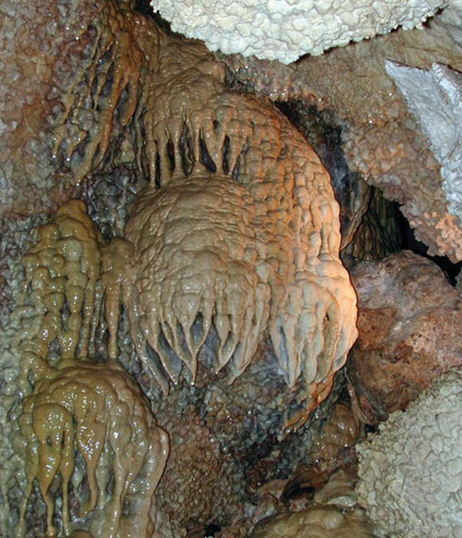
Jewel Cave National Monument (JECA) is located in the Black Hills of South Dakota, approximately 65 km (40 mi) southwest of Rapid City in Custer County. Proclaimed on February 7, 1908, JECA contains about 515 hectares (1,274 acres) and protects an expansive limestone cave network with more than 338 km (210 mi) of surveyed passages—the third longest cave on Earth (National Park Service 2016a). Land prospectors Frank and Albert Michaud discovered Jewel Cave in 1900 when they came across cold air blowing out of a small hole above Hell Canyon. Upon entering the cave, they explored crawlways and low-ceiling rooms covered with calcite crystals that sparkled like “jewels” by the light of their lanterns (National Park Service 2016b; KellerLynn 2009). Jewel Cave features a relatively unchanged underground environment that includes subterranean lakes, spectacular speleothems, and abundant calcite spar crystals coating most of the cave surfaces. Research has shown that the mapped passages of Jewel Cave represent only a fraction of the total cave system, creating scientific opportunities to discover and survey unexplored portions of the cave.
Geologic Setting
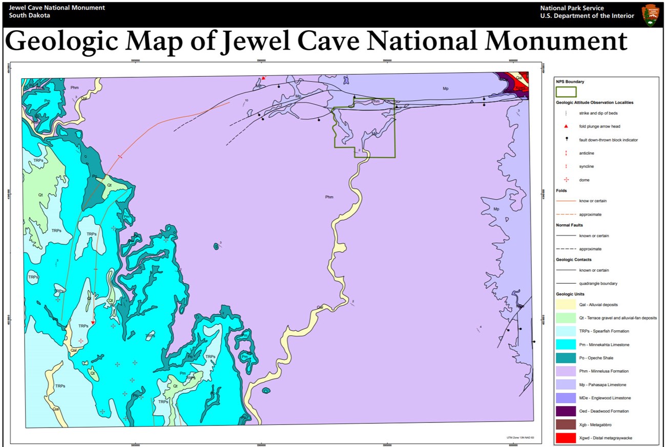
Situated in the Black Hills of the Great Plains physiographic province, the regional geology of Jewel Cave National Monument is similar to nearby Devils Tower National Monument, Mount Rushmore National Memorial, and Wind Cave National Park. Development of the Black Hills region occurred during the Paleocene Epoch ~60 to 50 million years ago due to collisional forces associated with the Laramide Orogeny (Lisenbee 1988; Lisenbee and DeWitt 1993). Uplifted Paleozoic and Mesozoic strata were eroded away from the central Black Hills Uplift, exposing a core of ancient Precambrian metamorphic and igneous rocks. Sedimentary strata spanning the Cambrian through Cretaceous form the flanks of the Black Hills and dip away from the central uplift in all directions (Palmer et al. 2016). The bedrock underlying JECA consists of Paleozoic sedimentary rocks of the Mississippian Pahasapa Limestone and Pennsylvanian–Permian Minnelusa Formation. Carbonate rocks of the Pahasapa Limestone formed in an ancient shallow sea and were subsequently uplifted and slowly eroded via groundwater dissolution to form the expansive Jewel Cave network and its many cave features. Strata of the Minnelusa Formation overlie the Pahasapa Limestone and consist of sandstone, siltstone, shale, and limestone that were deposited in aeolian and marine settings (Fryberger 1984). The youngest rocks mapped within JECA include unconsolidated Quaternary alluvium deposits that occur along Hell Canyon and Lithograph Canyon.
Regional Geology
Jewel Cave National Monument is a part of the Great Plains Physiographic Province and shares its geologic history and some characteristic geologic formations with a region that extends well beyond park boundaries.
- Scoping summaries are records of scoping meetings where NPS staff and local geologists determined the park’s geologic mapping plan and what content should be included in the report.
- Digital geologic maps include files for viewing in GIS software, a guide to using the data, and a document with ancillary map information. Newer products also include data viewable in Google Earth and online map services.
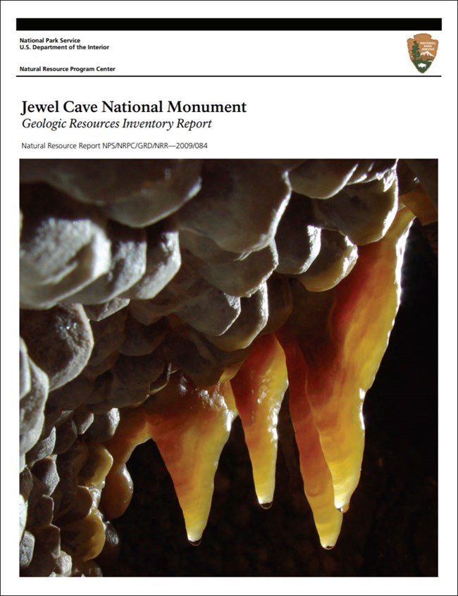
- Reports use the maps to discuss the park’s setting and significance, notable geologic features and processes, geologic resource management issues, and geologic history.
- Posters are a static view of the GIS data in PDF format. Newer posters include aerial imagery or shaded relief and other park information. They are also included with the reports.
- Projects list basic information about the program and all products available for a park.
Source: NPS DataStore Saved Search 2908. To search for additional information, visit the NPS DataStore.
A NPS Soil Resources Inventory project has been completed for Jewel Cave National Monument and can be found on the NPS Data Store.
Source: NPS DataStore Saved Search 2980. To search for additional information, visit the NPS DataStore.

Related Links
Related Articles
Jewel Cave National Monument
National Park Service Geodiversity Atlas
The servicewide Geodiversity Atlas provides information on geoheritage and geodiversity resources and values within the National Park System. This information supports science-based geoconservation and interpretation in the NPS, as well as STEM education in schools, museums, and field camps. The NPS Geologic Resources Division and many parks work with National and International geoconservation communities to ensure that NPS abiotic resources are managed using the highest standards and best practices available.

